Oak Ridge in Cooke County, Texas — The American South (West South Central)
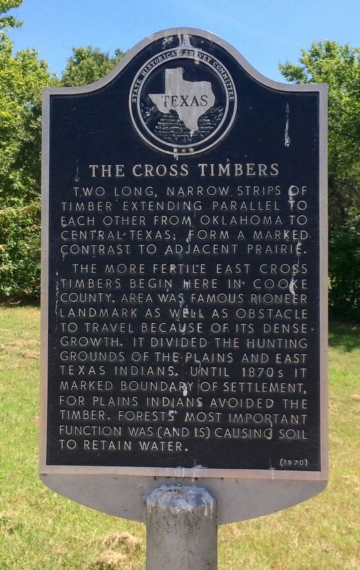
The Cross Timbers
Erected 1970 by State Historical Survey Committee. (Marker Number 5316.)
Topics. This historical marker is listed in these topic lists: Agriculture • Horticulture & Forestry • Native Americans.
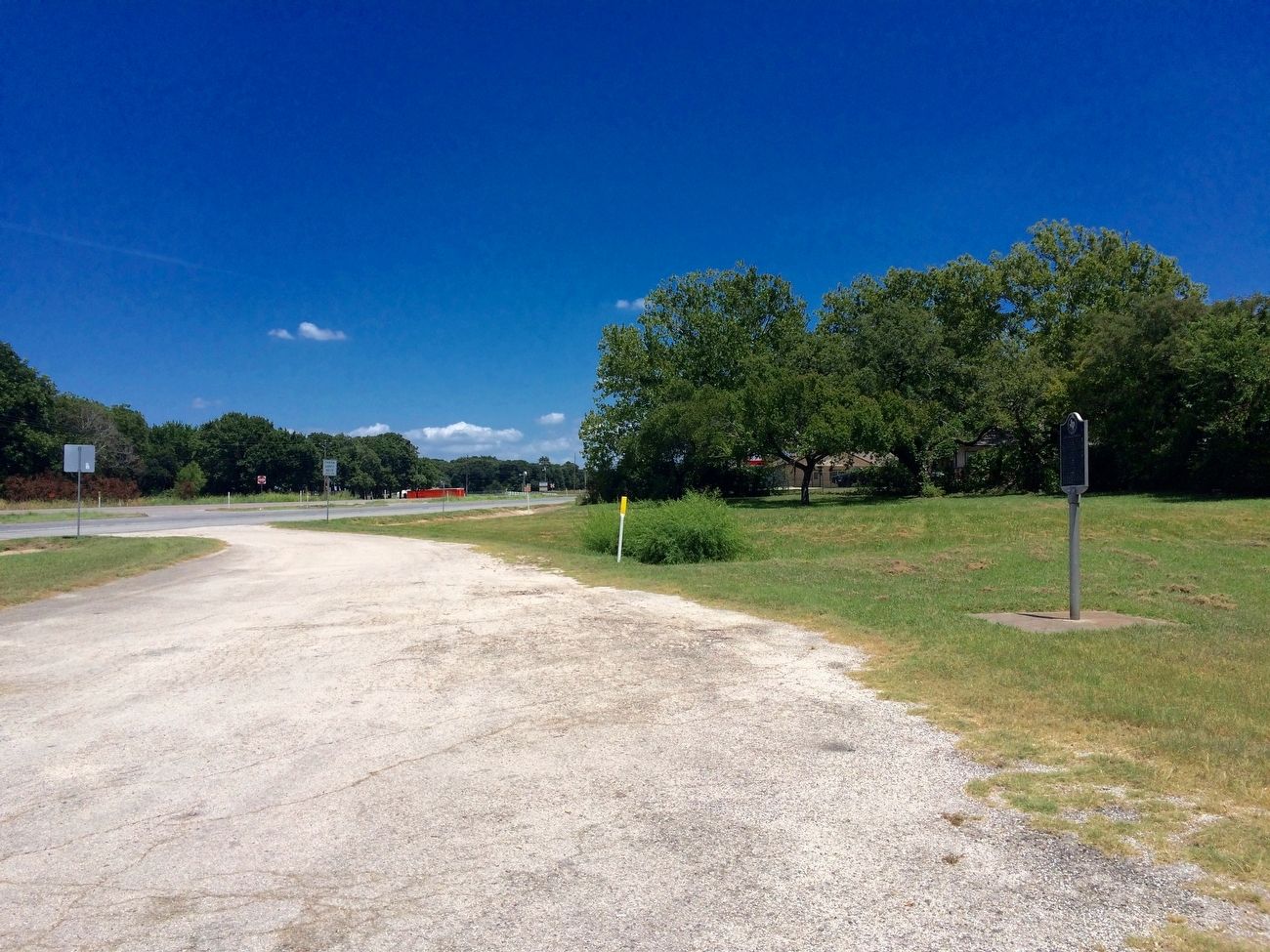
Location. 33° 38.996′ N, 97° 2.36′ W. Marker is in Oak Ridge, Texas, in Cooke County. Marker can be reached from the intersection of U.S. 82 and Pauls Lane when traveling east. Located in the eastbound roadside rest area. Touch for map. Marker is in this post office area: Gainesville TX 76240, United States of America. Touch for directions.
Other nearby markers. At least 8 other markers are within 6 miles of this marker, measured as the crow flies. Gainesville (about 700 feet away, measured in a direct line); F.M. Dougherty (approx. 5.1 miles away); William Owen Davis (approx. 5.1 miles away); Fairview Cemetery (approx. 5.1 miles away); Joseph Weldon Bailey (approx. 5.2 miles away); Butterfield Overland Stage Line (approx. 5˝ miles away); The Great Hanging at Gainesville, 1862 (approx. 6 miles away); Gainesville-Fort Sill Road (approx. 6.1 miles away).
Credits. This page was last revised on September 8, 2016. It was originally submitted on September 8, 2016, by Mark Hilton of Montgomery, Alabama. This page has been viewed 488 times since then and 35 times this year. Photos: 1, 2. submitted on September 8, 2016, by Mark Hilton of Montgomery, Alabama.

