Near Thermopolis in Hot Springs County, Wyoming — The American West (Mountains)
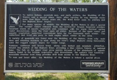
Wedding of the Waters
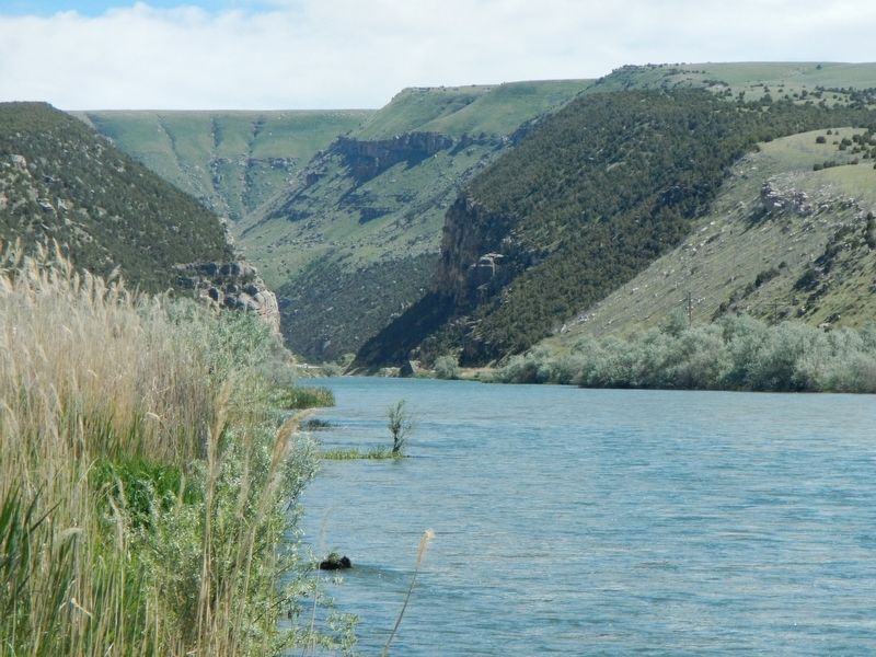
For many species of wildlife, the Wedding of the Waters is also a special place. The warmer waters released from the bottom of Boysen Reservoir produce luxuriant stands of aquatic vegetation and, combined with warm thermal spring water downstream, keep the river open all winter. Because of the open water and aquatic vegetation, waterfowl concentrate here by the thousands each winter. The waterfowl and trout are prey to bald eagles which winter in the area.
A variety of mammals are found near the Wedding of the Waters, from wily mule deer and whistling marmots to mink along the river's edge. Bighorn sheep historically used the rugged canyon slopes for winter range.
Rainbow, cutthroat and brown trout, along with barbot and mountain whitefish, inhabit this stretch of the Bighorn River, providing a blue-ribbon fishery of national fame. The fish on the upper river grow quickly because of the abundance of aquatic insects found in the bottom vegetation. Just downstream, the nation's first handicap-accessible riverine boat ramp provides drift boat access to the Bighorn River.
To man and beast alike, the Wedding of the Waters is indeed a special place.
Erected by Wyoming Fish and Game Department.
Topics. This historical marker is listed in this topic list: Natural Resources.
Location. 43° 35.34′ N, 108° 12.888′ W. Marker is near Thermopolis, Wyoming, in Hot Springs County. Marker can be reached from U.S. 20 near South Yellowstone Road (Wyoming Highway 173). Touch for map. Marker is at or near this postal address: 392 US Highway 20, Thermopolis WY 82443, United States of America. Touch for directions.
Other nearby markers. At least 8 other markers are within 5 miles of this marker, measured as the crow flies. A different marker also named Wedding of the Waters (within shouting distance of this marker); Thermopolis Downtown Historic District (approx. 4 miles away); Broad Streets of Thermopiles (approx. 4 miles away); World's Largest Mineral Hot Springs (approx. 4 miles away); The Plaza Hotel (approx. 4.3 miles away); Bah Guewana (approx. 4.3 miles away); Walter Manly Haynes (approx. 4.4 miles away); Tepee Fountain (approx. 4.4 miles away). Touch for a list and map of all markers in Thermopolis.
More about this marker. This marker is located at a boat ramp and interpretive exhibit to the west of U.S. Highway 20.
Credits. This page was last revised on January 6, 2017. It was originally submitted on September 10, 2016, by Barry Swackhamer of Brentwood, California. This page has been viewed 1,054 times since then and 142 times this year. Photos: 1, 2. submitted on September 10, 2016, by Barry Swackhamer of Brentwood, California.

