Kill Devil Hills in Dare County, North Carolina — The American South (South Atlantic)
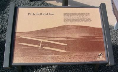
Pitch, Roll and Yaw
Erected by U.S. Department of the Interior, National Park Service, Wright Brothers National Memorial.
Topics. This historical marker is listed in these topic lists: Air & Space • Notable Events • Notable Places. A significant historical year for this entry is 1900.
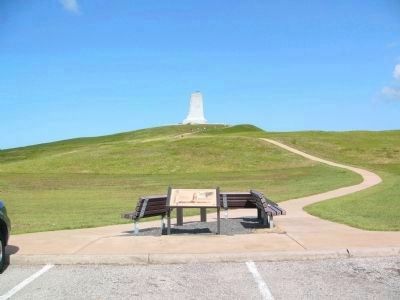
Location. 36° 0.873′ N, 75° 40.226′ W. Marker is in Kill Devil Hills, North Carolina, in Dare County. Marker is in the Wright Brothers National Memorial, on the driving tour that circles the monument. Touch for map. Marker is in this post office area: Kill Devil Hills NC 27948, United States of America. Touch for directions.
Other nearby markers. At least 8 other markers are within walking distance of this marker. Monument to the Impossible (here, next to this marker); Big Kill Devil Hill (here, next to this marker); Wright Brothers National Memorial (about 700 feet away, measured in a direct line); a different marker also named Big Kill Devil Hill (approx. 0.2 miles away); Experiments (approx. 0.2 miles away); 12 Seconds that Changed the World (approx. ¼ mile away); A hospitable people... (approx. ¼ mile away); The Conquest of the Air (approx. ¼ mile away). Touch for a list and map of all markers in Kill Devil Hills.
Credits. This page was last revised on June 16, 2016. It was originally submitted on August 1, 2008, by Kevin W. of Stafford, Virginia. This page has been viewed 1,358 times since then and 14 times this year. Photos: 1, 2. submitted on July 30, 2008, by Kevin W. of Stafford, Virginia.

