Near Thermopolis in Hot Springs County, Wyoming — The American West (Mountains)
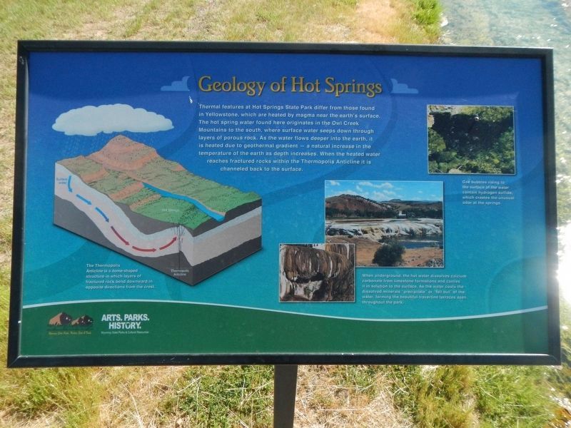
Geology of Hot Springs

Photographed By Barry Swackhamer, June 4, 2016
1. Geology of Hot Springs Marker
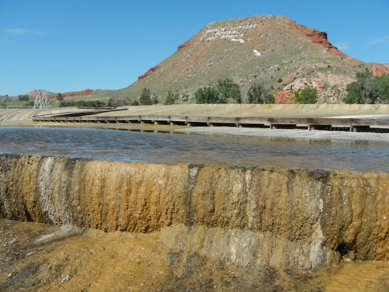
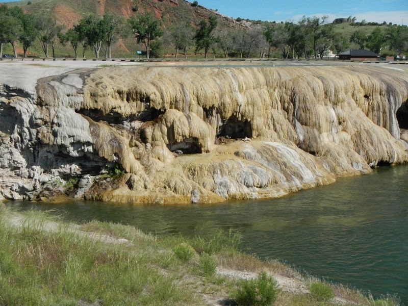
Captions: (diagram on left) The Thermopolis Anticline is a dome-shaped structure in which layers of fractured rock bend downward in opposite directions from the crest.; (bottom center) When underground, the hot water dissolves calcium carbonate from limestone formations and carries it in solution to the surface. As the water cools the dissolved minerals “precipitate” or “fall out” of the water, forming the beautiful travertine terraces seen throughout the park.; (upper right) Gas bubbles rising to the surface contain hydrogen sulfide, which creates the unusual odor at the springs.
Erected by Wyoming State Parks and Cultural Resources.
Topics. This historical marker is listed in this topic list: Natural Features.
Location. 43° 39.27′ N, 108° 11.73′ W. Marker is near Thermopolis, Wyoming, in Hot Springs County. Marker can be reached from Tepee Street near Big Springs Drive. Touch for map. Marker is at or near this postal address: 168 Tepee Street, Thermopolis WY 82443, United States of America. Touch for directions.
Other nearby markers. At least 8 other markers are within walking distance of this marker. 1916 Swinging Bridge (within shouting distance of this marker); Some Like It Hot! (within shouting distance of this marker); "The Hot Springs" (about 300 feet away, measured in a direct line); Healing Waters (about 300 feet away); Washakie's Bath House (about 300 feet away); Ancient Red Rocks (about 500 feet away); Hot Springs State Park (approx. 0.2 miles away); Joe Sneider Point (approx. ¼ mile away). Touch for a list and map of all markers in Thermopolis.
More about this marker. This marker is located in Hot Springs State Park near Thermopiles, Wyoming. The Big Springs trail system can be accessed from Hot Springs State Park Bathhouse on Tepee Street.
Credits. This page was last revised on September 11, 2016. It was originally submitted on September 11, 2016, by Barry Swackhamer of Brentwood, California. This page has been viewed 384 times since then and 18 times this year. Photos: 1, 2, 3. submitted on September 11, 2016, by Barry Swackhamer of Brentwood, California.
Editor’s want-list for this marker. Overview photo of the Geology of Hot Springs marker • Can you help?

