Near Thermopolis in Hot Springs County, Wyoming — The American West (Mountains)
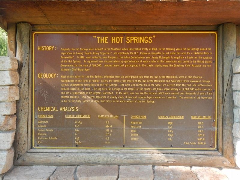
"The Hot Springs"
Originally the Hot Springs were included in the Shoshone Indian Reservation Treaty of 1868. In the years following the Hot Springs gained the reputation as having "Health Giving Properties", and eventually the U.S. Congress requested to set aside this area for a "National Park or Reservation". In 1896, upon authority from Congress, the Indian Commissoner sent James McLaughlin to negotiate a treaty for the purchase of the Hot Springs. An agreement was secured where by approximately 10 square miles of the reservation was ceded to the United States Government for the sum of $60,000. Among those that participated in the treaty signing were the Shoshone Chief Washakie and the Arapahoe Chief Sharp Nose.
GEOLOGY:
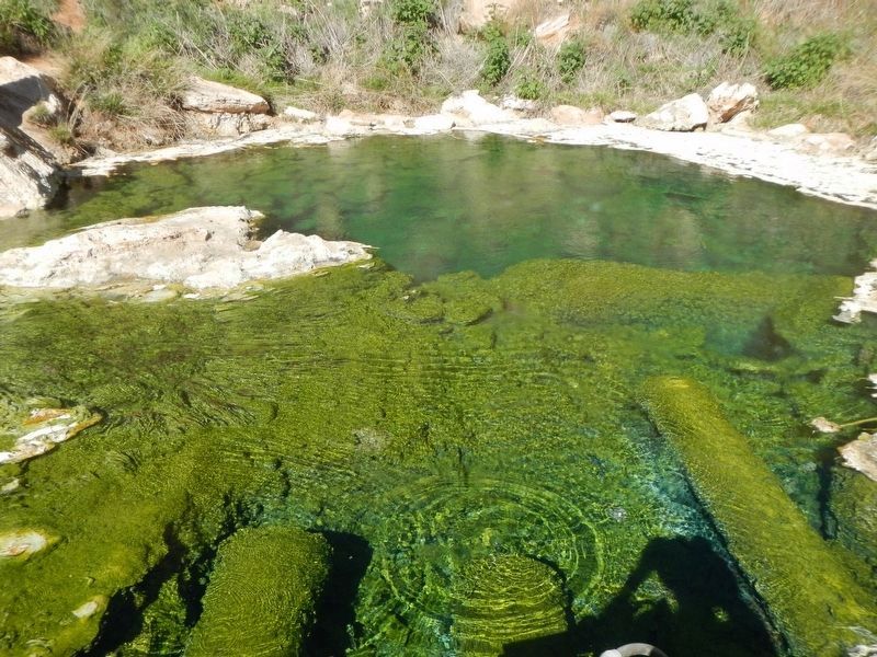
Most of the water for the Hot Springs originates from an underground flow from the Owl Creek Mountains, west of this location. Precipitation in the form of rainfall enters the porous rock layer of the Owl Creek Mountains and eventually filters downward through various underground formations to the Hot Springs. The heat and chemicals in the water are derived from the rock and subterranean volcanic gases of the earth. The Big Horn Hot Springs is the largest of the springs and flows approximately at 3,6000,000 gallons per day and has a temperature of 135 degrees fahrenheit. To the west, one can see the terraces which were created over thousands of years from mineral deposits. This mineral deposition is chiefly made of lime and gypsum layers known as travertine. The coloring of the travertine is due to the many species of algae that thrive in the warm waters of the Hot Springs.
CHEMICAL ANALYSIS:
Click on the marker image to view the Chemical Analysis of the Hot Springs water
Erected by Wyoming State Historic Preservation Office.
Topics. This historical marker is listed in this topic list: Notable Places.
Location. 43° 39.288′ N, 108° 11.67′ W. Marker is near Thermopolis, Wyoming, in Hot Springs County. Marker is on Big Springs Drive near Buffalo Street, on the right when traveling north. Touch for map. Marker is in this post office area: Thermopolis WY 82443, United States of America. Touch for directions.
Other nearby markers. At least 8 other markers are within walking distance of this marker. Healing Waters (a few steps from this marker); Washakie's Bath House (within shouting distance of this marker); Geology of Hot Springs (about 300 feet away, measured in a direct line); 1916 Swinging Bridge (about 400 feet away); Some Like It Hot! (about 500 feet away); Ancient Red Rocks (about 700 feet away); Joe Sneider Point (approx. 0.2 miles away); Smoky Row Settlement (approx. 0.2 miles away). Touch for a list and map of all markers in Thermopolis.
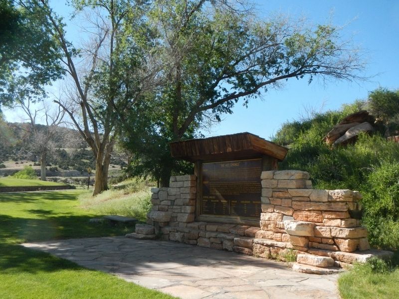
More about this marker. This marker is located in Hot Springs State Park near Thermopiles, Wyoming.
Also see . . . Hot Springs State Park - Thermopolis.com. Come for the hot springs, but prepare to be enchanted by all that Hot Springs State Park has to offer. Hot water cascades down colorful terraces along the Big Horn River at a rate of 8,000 gallons per day. Relax in the park’s free bath house where the 104 degree water soothes away aches and pains (Submitted on September 11, 2016, by Barry Swackhamer of Brentwood, California.)
Credits. This page was last revised on September 11, 2016. It was originally submitted on September 11, 2016, by Barry Swackhamer of Brentwood, California. This page has been viewed 360 times since then and 17 times this year. Photos: 1, 2, 3. submitted on September 11, 2016, by Barry Swackhamer of Brentwood, California.


