Near Walsenburg in Huerfano County, Colorado — The American Mountains (Southwest)
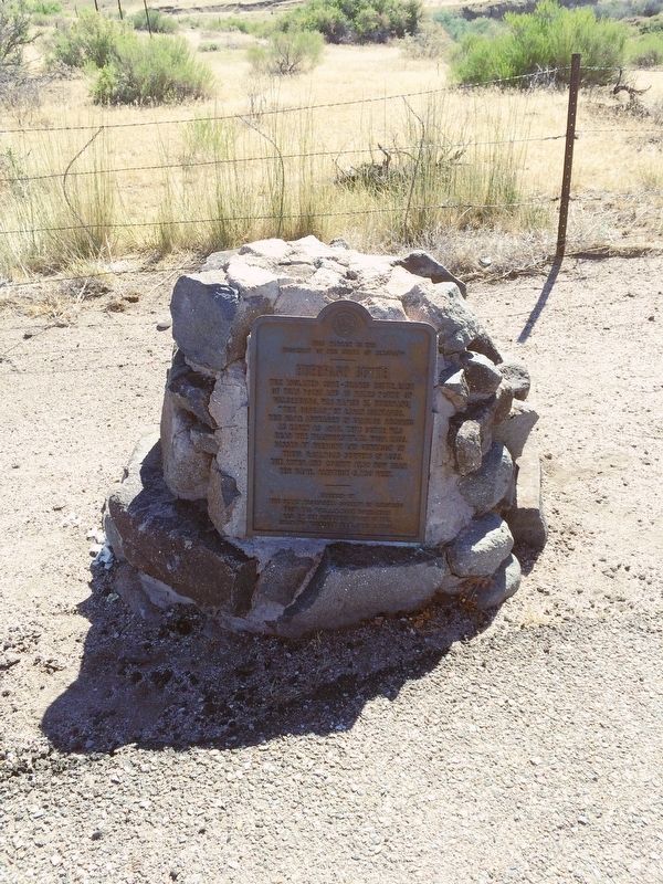
Huerfano Butte
Beacon to Settlement
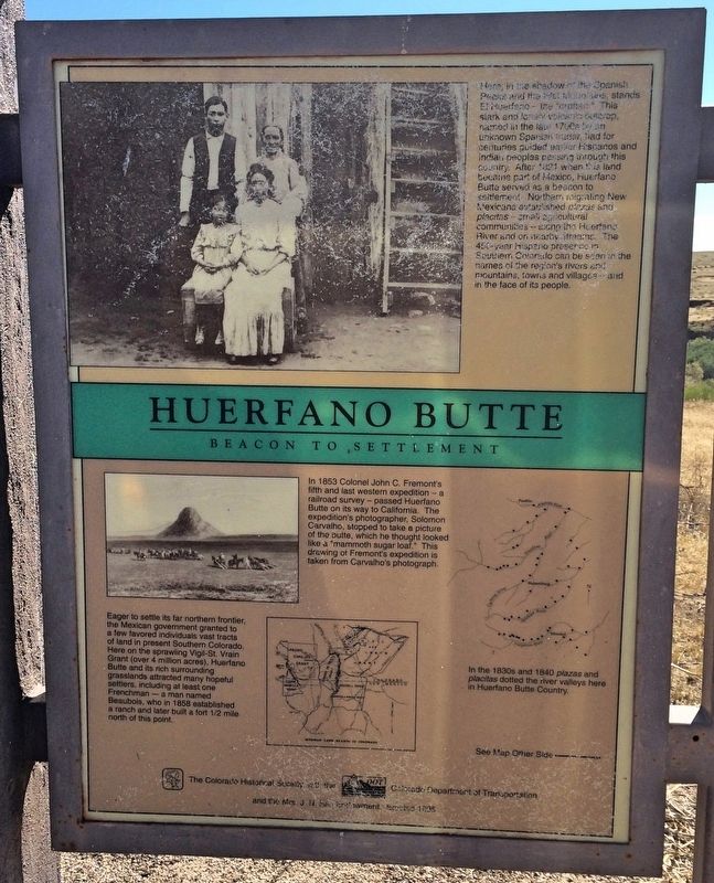
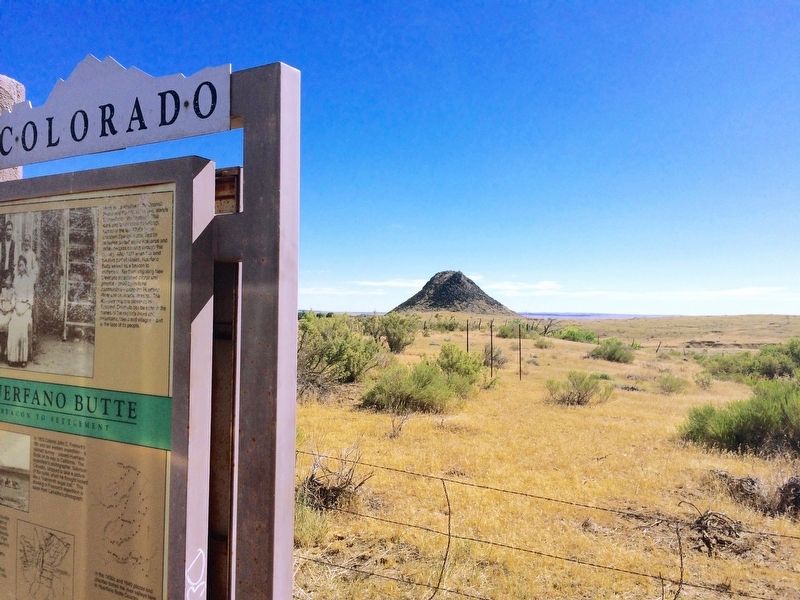
Here, in the shadow of the Spanish Peaks and the Wet Mountains, stands El Huerfano - "the orphan." This stark and lonely volcanic outcrop, named in the late 1700s by an unknown Spanish trader, had for centuries guided earlier Hispanos and Indian peoples passing through this country. After 1821 when this land became part of Mexico, Huerfano Butte served as a beacon to settlement. Northern migrating New Mexicans established plazas and placitas - small agricultural communities - along the Huerfano River and on nearby streams. The 450-year Hispano presence in Southern Colorado can be seen in the names of the region's rivers and mountains, towns and villages and in the face of its people.
Graphic: Drawing of Fremont's Expedition
In 1853 Colonel John C. Fremont's fifth and last western expedition - a railroad survey - passed Huerfano Butte on its way to California. The expedition's photographer, Solomon Carvalho, stopped to take a picture of the butte, which he thought looked like a "mammoth sugar loaf." This drawing of Fremont's expedition is taken from Carvalho's photograph.
Colorado Historical Society
Graphic: Map of Mexican Land Grants in Colorado
Eager to settle its far northern frontier, the Mexican government granted to a few favored individuals vast tracts of land in present Southern Colorado. Here on the sprawling Vigil-St. Vrain Grant (over 4 million acres), Huerfano Butte and its rich surrounding grasslands attracted many hopeful settlers, including at least one Frenchman - a man names Beaubois, who in 1858 established a ranch and later built a fort one-half mile north of this point.
Colorado Historical Society
Graphic: Map of Plazas and Placitas
In the 1830s and 1840s plazas and placitas dotted the river valleys here in Huerfano Butte County.
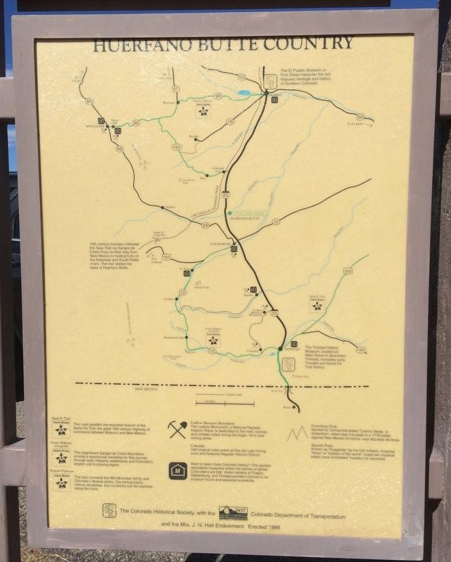
Reverse side map: Huerfano Butte Country
Erected 1996 by Colorado Historical Society. (Marker Number 181.)
Topics and series. This historical marker is listed in these topic lists: Natural Features • Railroads & Streetcars • Settlements & Settlers. In addition, it is included in the Colorado - History Colorado series list. A significant historical year for this entry is 1821.
Location. 37° 44.931′ N, 104° 50.024′ W. Marker is near Walsenburg, Colorado, in Huerfano County. Marker is on Interstate 25 at milepost 59,, 0.3 miles north of County Road 103, on the right when traveling north. Located on a highway pull-off about 7 miles north of I-25 exit 59. Touch for map. Marker is in this post office area: Walsenburg CO 81089, United States of America. Touch for directions.
Other nearby markers. At least 2 other markers are within 13 miles of this marker, measured as the crow flies. A different marker also named Huerfano Butte (a few steps from this marker); Greenhorn Creek Bridge (approx. 12.9 miles away).
Related marker. Click here for another marker that is related to this marker.
Credits. This page was last revised on September 12, 2016. It was originally submitted on September 12, 2016, by Mark Hilton of Montgomery, Alabama. This page has been viewed 1,024 times since then and 94 times this year. Photos: 1, 2, 3, 4. submitted on September 12, 2016, by Mark Hilton of Montgomery, Alabama.


