Tangier in Accomack County, Virginia — The American South (Mid-Atlantic)
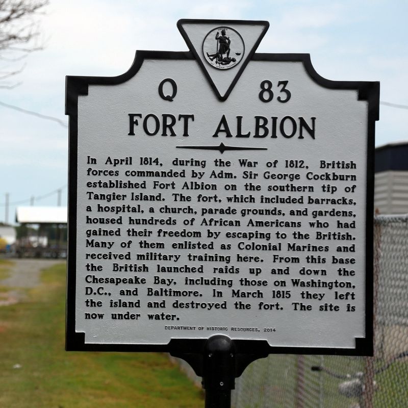
Fort Albion
Erected 2014 by Department of Historic Resources. (Marker Number Q-83.)
Topics and series. This historical marker is listed in these topic lists: Forts and Castles • War of 1812. In addition, it is included in the Virginia Department of Historic Resources (DHR) series list. A significant historical year for this entry is 1814.
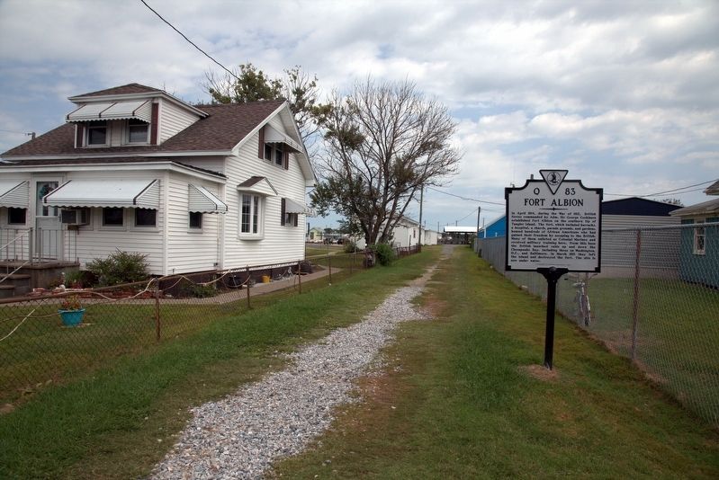
Location. 37° 49.693′ N, 75° 59.535′ W. Marker is in Tangier, Virginia, in Accomack County. Marker is on Main Ridge Road near Thomas Road, on the left when traveling north. It is across from Four Brothers Crab House and Ice Cream Deck. Touch for map. Marker is in this post office area: Tangier VA 23440, United States of America. Touch for directions.
Other nearby markers. At least 8 other markers are within walking distance of this marker. Former Site of New Testament Congregation (a few steps from this marker); Ice Cream Stand (a few steps from this marker); Welcome To Historic Tangier Island (a few steps from this marker); Daley's Grocery (within shouting distance of this marker); The Double Six (within shouting distance of this marker); Fisherman's Corner (within shouting distance of this marker); Chambers Lane (within shouting distance of this marker); Gladstone Memorial Health Center (within shouting distance of this marker). Touch for a list and map of all markers in Tangier.
Also see . . . Tangier receives historical recognitions, 175-acre island. 2015 article in the Richmond Times-Dispatch by Tee Clarkson. “The group was there to celebrate the dedication of two historical markers on the island and the donation of a neighboring island known as The Uppards to the town of Tangier.” (Submitted on September 12, 2016.)
Credits. This page was last revised on September 12, 2016. It was originally submitted on September 12, 2016, by J. J. Prats of Powell, Ohio. This page has been viewed 2,341 times since then and 215 times this year. Photos: 1, 2. submitted on September 12, 2016, by J. J. Prats of Powell, Ohio.

