Blairstown in Warren County, New Jersey — The American Northeast (Mid-Atlantic)
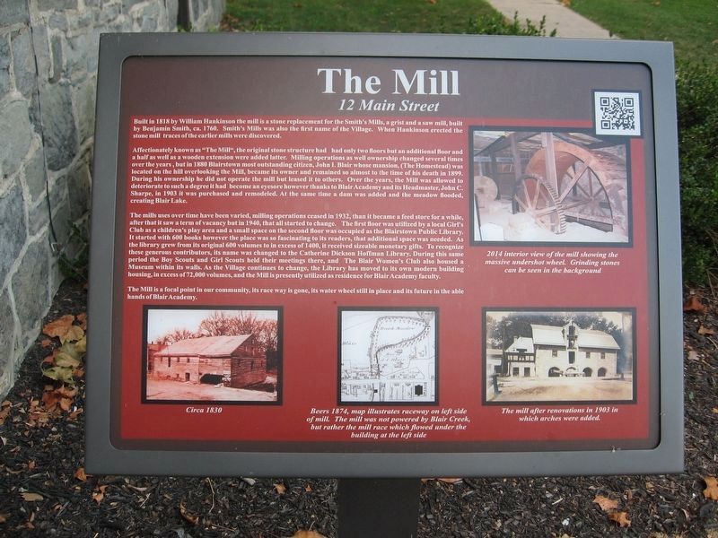
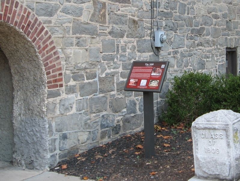
The Mill
Built in 1818 by William Hankinson the mill is a stone replacement for the Smith's Mills, a grist and a saw mill, built by Benjamin Smith, ca. 1760. Smith's Mills was also the first name of the Village. When Hankinson erected the stone mill traces of the earlier mills were discovered.
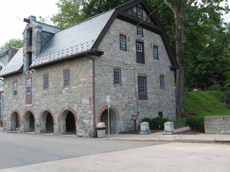
Affectionately known as "The Mill", the original stone structure had had only two floors but an additional floor and a half as well as a wooden extension were added latter. Milling operations as well ownership changed several times over the years, but in 1880 Blairstown most outstanding citizen, John I. Blair whose mansion, (The Homestead) was located on the hill overlooking the Mill, became its owner and remained so almost to the time of his death in 1899. During his ownership he did not operate the mill but leased it to others. Over the years, the Mill was allowed to deteriorate to such a degree it had become an eyesore however thanks to Blair Academy and its Headmaster, John C. Sharpe, in 1903 it was purchased and remodeled. At the same time a dam was added and the meadow flooded, creating Blair Lake.
The mills uses over time have been varied, milling operations ceased in 1932, than it became a feed store for a while, after that it saw a term of vacancy but in 1940, that all started to change. The first floor was utilized by a local Girl's Club as a children's play area and a small space on the second floor was occupied as the Blairstown Public Library. It started with 600 books however the place was so fascinating to its readers, that additional space was needed. As the library grew from its original 600 volumes to in excess of 1400, it received sizeable monetary gifts. To recognize
these generous contributors, its name was changed to the Catherine Dickson Hoffman Library. During this same period the Boy Scouts and Girl Scouts held their meetings there, and The Blair Women's Club also housed a Museum within its walls. As the village continues to change, the Library has moved to its own modern building housing, in excess of 72,000 volumes, and the Mill is presently utilized as residence for Blair Academy faculty.
The Mill is a focal point in our community, its race way is gone, its water wheel still in place and its future in the able hands of Blair Academy.
Topics. This historical marker is listed in these topic lists: Industry & Commerce • Notable Buildings • Settlements & Settlers.
Location. 40° 58.997′ N, 74° 57.607′ W. Marker is in Blairstown, New Jersey, in Warren County. Marker is at the intersection of Main Street and Blair Place on Main Street. Touch for map. Marker is at or near this postal address: 12 Main Street, Blairstown NJ 07825, United States of America. Touch for directions.
Other nearby markers. At least 8 other markers are within walking distance of this marker. The Water Works (a few steps from this marker); The Rainbow Confectionery (within shouting distance of this marker); Flatiron Building (within shouting distance of this marker); Branigan’s Pharmacy (about 300 feet away, measured in a direct line); Dr. John C. Johnson Residence (about 300 feet away); Roy’s Hall (about 300 feet away); Simeon Cooke Residence (about 400 feet away); First Presbyterian Church of Blairstown (about 400 feet away). Touch for a list and map of all markers in Blairstown.
Credits. This page was last revised on September 12, 2016. It was originally submitted on September 12, 2016, by Michael Herrick of Southbury, Connecticut. This page has been viewed 435 times since then and 30 times this year. Photos: 1, 2, 3. submitted on September 12, 2016, by Michael Herrick of Southbury, Connecticut.


