Dallas in Dallas County, Texas — The American South (West South Central)
Love Field
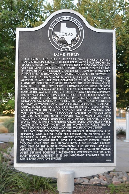
In 1917, during World War I, the city secured an agreement with the War Department to provide a military flying school for the army to lease. The Army Signal Corps named the field “Love Field” in honor of Lt. Moss Lee Love (1879-1913), an army aviation fatality. A festival at Love Field marked the war’s end in 1918, and the army decommissioned the flying school in 1920. The city of Dallas leased space to pilots and, in 1922, the Curtiss Flying School and Curtiss Aeroplane Co. opened at the field. In 1923, the army returned to provide weather and radio service to pilots. The airport attracted U.S. air mail route service in the mid-1920s; air mail carriers were the first national air service companies, and many developed into the major air carriers of the late 20th century. Over the years, notable pilots made stops here, including Charles Lindbergh and Amelia Earhart. During World War II, the 5th Ferrying Group based operations here, along with a contingent of the Women Air Force Service Pilots (WASP) and a large Lockheed modification center.
As Love Field developed, so did aircraft technology and services, and major carriers established offices at its facilities. In 1973, a larger airport opened with most air traffic moving there; Love Field almost closed. Today, though, Love Field has grown into a significant facility and one of the busiest commercial and general aviation airports in the United States. It remains a valuable Dallas asset, serving passengers, corporate clients and maintenance business. It is an important reminder of the city’s early aviation efforts.
Erected 2003 by Texas Historical Commission. (Marker Number 12983.)
Topics. This historical marker is listed in these topic lists: Air & Space • Industry & Commerce • War, World I • War, World II. A significant historical year for this entry is 1917.
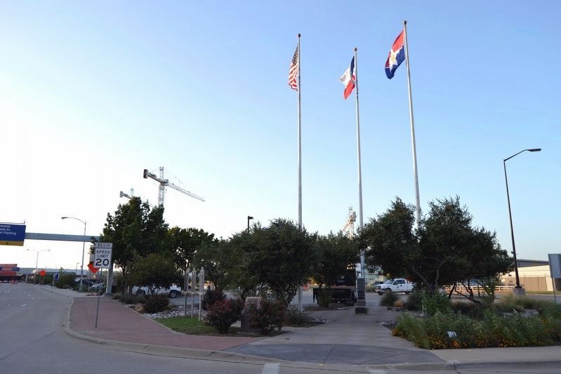
Location. 32° 50.481′ N, 96° 50.763′ W. Marker is in Dallas, Texas, in Dallas County. Marker is at the intersection of Herb Kelleher Way and Aviation Place, on the right when traveling north on Herb Kelleher Way. Marker is located at the Danny L. Bruce Flag Plaza at Dallas Love Field Airport. Touch for map. Marker is in this post office area: Dallas TX 75235, United States of America. Touch for directions.
Other nearby markers. At least 8 other markers are within 2 miles of this marker, measured as the crow flies. Oath of Office of President Johnson (here, next to
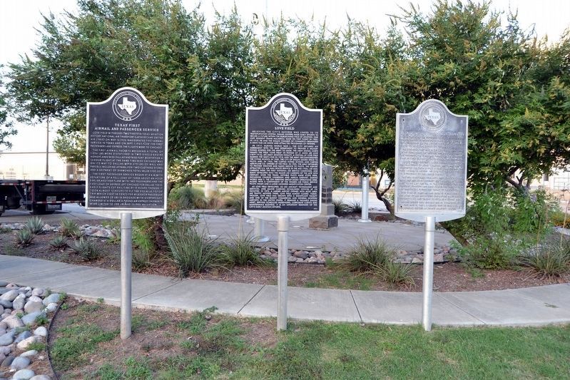
this marker); Texas’ First Airmail and Passenger Service (here, next to this marker); Love Field Airman Memorial (a few steps from this marker); Garvin Memorial Cemetery (approx. 1½ miles away); Cochran Chapel Cemetery (approx. 1½ miles away); Cochran Chapel Methodist Church (approx. 1½ miles away); W. P. Cochran Homeplace (approx. 1.6 miles away); Trinity Farms/Rancho Grande Cemetery (approx. 1.9 miles away). Touch for a list and map of all markers in Dallas.
More about this marker. The marker was originally placed in the terminal of Love Field. This marker and the two adjacent markers were moved to the Danny L. Bruce Flag Plaza around 2004.
Also see . . . Love Field. From the Texas State Historical Association’s “Handbook of Texas Online”. (Submitted on September 13, 2016.)
Credits. This page was last revised on September 13, 2016. It was originally submitted on September 13, 2016, by Duane Hall of Abilene, Texas. This page has been viewed 699 times since then and 50 times this year. Photos: 1, 2. submitted on September 13, 2016, by Duane Hall of Abilene, Texas. 3. submitted on September 12, 2016, by Duane Hall of Abilene, Texas. 4. submitted on September 13, 2016, by Duane Hall of Abilene, Texas.


