Lewisburg in Greenbrier County, West Virginia — The American South (Appalachia)
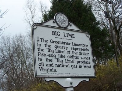
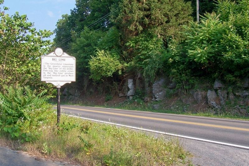
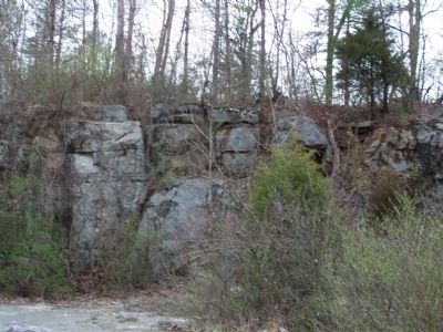
Big Lime
Erected 1983 by W. VA Centennial Committee of the Oil and Natural Gas Industry, West Virginia Historic Commission.
Topics and series. This historical marker is listed in these topic lists: Industry & Commerce • Natural Features. In addition, it is included in the West Virginia Archives and History series list.
Location. 37° 48.266′ N, 80° 27.096′ W. Marker is in Lewisburg, West Virginia, in Greenbrier County. Marker is on U.S. 60, on the right when traveling west. Touch for map. Marker is in this post office area: Lewisburg WV 24901, United States of America. Touch for directions.
Other nearby markers. At least 8 other markers are within walking distance of this marker. Lewisburg (about 800 feet away, measured in a direct line); Confederate Cemetery (about 800 feet away); Battle of Lewisburg (approx. 0.2 miles away); a different marker also named Confederate Cemetery (approx. 0.2 miles away); a different marker also named Lewisburg (approx. 0.2 miles away); a different marker also named Lewisburg (approx. 0.2 miles away); Confederate Cemetery / The Civil War (approx. 0.2 miles away); William Cammack Campbell (approx. 0.2 miles away). Touch for a list and map of all markers in Lewisburg.
Credits. This page was last revised on September 16, 2016. It was originally submitted on August 17, 2009, by Bill Pfingsten of Bel Air, Maryland. This page has been viewed 1,548 times since then and 14 times this year. Last updated on September 14, 2016. Photos: 1. submitted on August 17, 2009, by Bill Pfingsten of Bel Air, Maryland. 2. submitted on September 14, 2016, by Forest McDermott of Masontown, Pennsylvania. 3. submitted on August 17, 2009, by Bill Pfingsten of Bel Air, Maryland.


