Mingus in Palo Pinto County, Texas — The American South (West South Central)
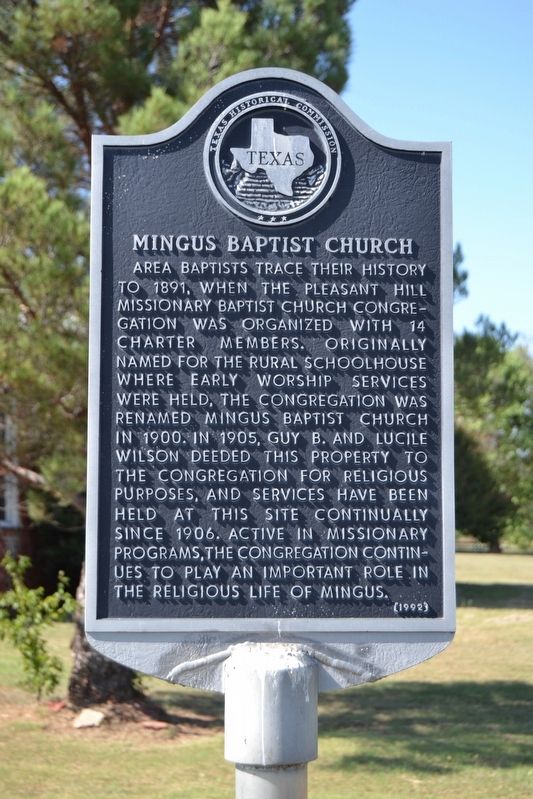
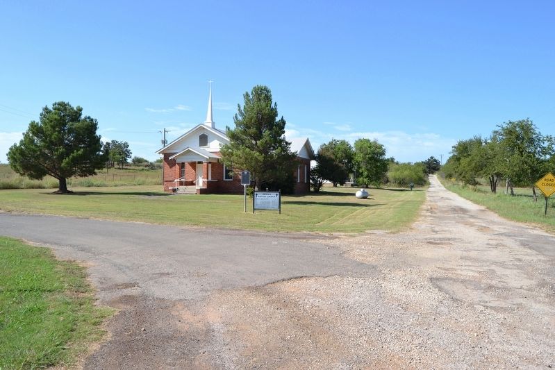
Mingus Baptist Church
Erected 1992 by Texas Historical Commission. (Marker Number 3395.)
Topics. This historical marker is listed in this topic list: Churches & Religion. A significant historical year for this entry is 1891.
Location. 32° 32.811′ N, 98° 25.381′ W. Marker is in Mingus, Texas, in Palo Pinto County. Marker is at the intersection of Patrick Street and W. Pecan Street, on the left when traveling north on Patrick Street. Touch for map. Marker is in this post office area: Mingus TX 76463, United States of America. Touch for directions.
Other nearby markers. At least 8 other markers are within 3 miles of this marker, measured as the crow flies. Thurber Junction and the T&P Railroad Presence (approx. ¼ mile away); Joseph Peter Davidson (approx. 1.7 miles away); Thurber Cemetery (approx. 2½ miles away); Evolution of an Oil Company (approx. 2.7 miles away); Site of Hotel Knox and Thurber Mining Office (approx. 2.7 miles away); Thurber (approx. 2.7 miles away); New York Hill (approx. 2.9 miles away); Site of Thurber's First Coal Mine (approx. 2.9 miles away). Touch for a list and map of all markers in Mingus.
Credits. This page was last revised on September 14, 2016. It was originally submitted on September 14, 2016, by Duane Hall of Abilene, Texas. This page has been viewed 402 times since then and 22 times this year. Photos: 1, 2. submitted on September 14, 2016, by Duane Hall of Abilene, Texas.

