Cross Village Township in Emmet County, Michigan — The American Midwest (Great Lakes)
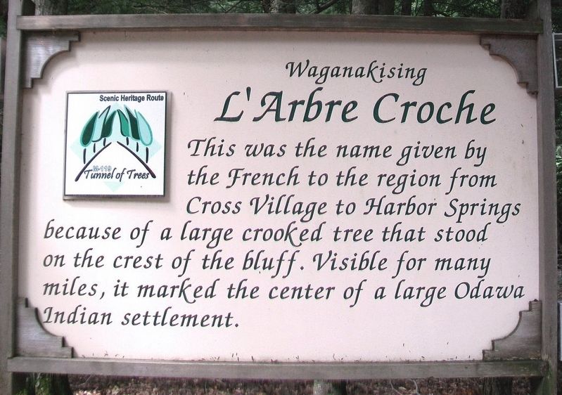
L'Arbre Croche
Waganakising
— M-119 Tunnel of Trees Scenic Heritage Route —
Topics and series. This historical marker is listed in these topic lists: Environment • Native Americans. In addition, it is included in the Historic Trees series list.
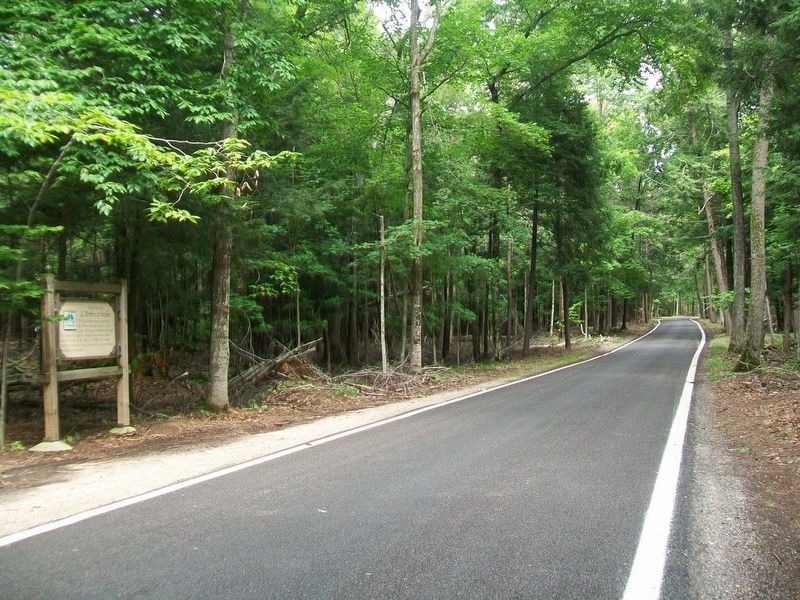
Location. 45° 37.581′ N, 85° 4.203′ W. Marker is near Cross Village, Michigan, in Emmet County. It is in Cross Village Township. Marker is on State Highway 119, 0.2 miles north of Division Road, on the left when traveling north. Marker is about two miles SW of Cross Village. Touch for map. Marker is in this post office area: Cross Village MI 49723, United States of America. Touch for directions.
Other nearby markers. At least 8 other markers are within 6 miles of this marker, measured as the crow flies. Area Of The Old Council Tree (approx. half a mile away); Light Houses of Grays Reef Passage (approx. 1.9 miles away); The Legs Inn (approx. 2 miles away); The History of Redpath Memorial Presbyterian Church (approx. 2 miles away); Cross Village, Michigan (approx. 2.1 miles away); Cross Village Township Park (approx. 2.1 miles away); Middle Village (approx. 5.6 miles away); a different marker also named Middle Village (approx. 5.6 miles away). Touch for a list and map of all markers in Cross Village.
Also see . . .
1. Little Traverse Bay Bands of Odawa Indians. (Submitted on September 15, 2016, by William Fischer, Jr. of Scranton, Pennsylvania.)
2. M-119's Tunnel of Trees. (Submitted on September 15, 2016, by William Fischer, Jr. of Scranton, Pennsylvania.)
Credits. This page was last revised on August 1, 2023. It was originally submitted on September 14, 2016, by William Fischer, Jr. of Scranton, Pennsylvania. This page has been viewed 802 times since then and 39 times this year. Photos: 1, 2. submitted on September 15, 2016, by William Fischer, Jr. of Scranton, Pennsylvania.

