Near Ten Sleep in Washakie County, Wyoming — The American West (Mountains)
Tensleep Canyon
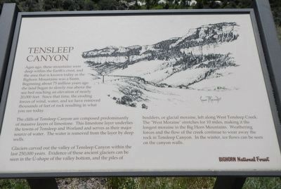
The cliffs of Tensleep Canyon are composed predominantly of massive layers of limestone. This limestone layer underlies the towns of Tensleep and Worland and serves as their major source of water. The water is removed from the layer by deep wells.
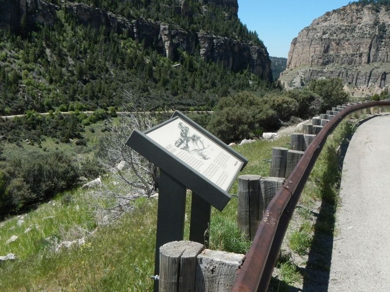
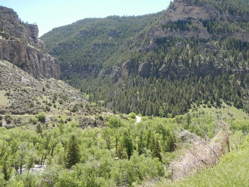
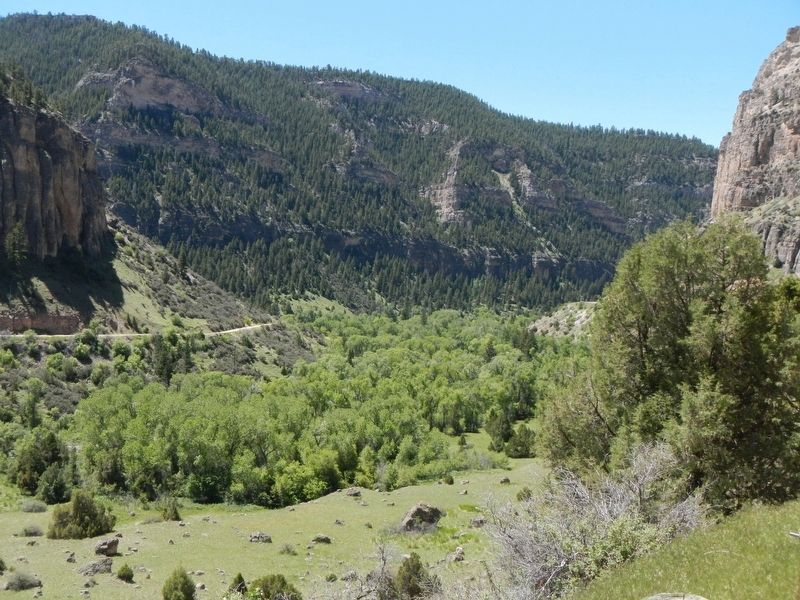
Glaciers carved out the valley of Tensleep Canyon within the last 250,000 years. Evidence of these ancient glaciers can be seen, in the U-shape of the valley bottom, and the piles of boulders, or glacial moraine, left along West Tensleep Creek. The “West Moraine” stretches for 10 miles, making it the longest moraine in the Big Horn Mountains. Weathering forces and the flow of the creek continue to wear away the rock in Tensleep Canyon. In the winter, ice flows can be seen on the canyon walls.
Erected by Bighorn National Forest.
Topics. This historical marker is listed in this topic list: Paleontology.
Location. 44° 5.428′ N, 107° 17.846′ W. Marker is near Ten Sleep, Wyoming, in Washakie County. Marker is on U.S. 16 at milepost 36, on the right when traveling east. Touch for map. Marker is in this post office area: Ten Sleep WY 82442, United States of America. Touch for directions.
Other nearby markers. At least 8 other markers are within 11 miles of this marker, measured as the crow flies. Leigh Creek Monument (within shouting distance of this marker); Bighorn National Forest (approx. ¾ mile away); Fire Lookouts (approx. 6.3 miles away); Died in the Line of Duty (approx. 6.9 miles away); Company 841 (approx. 6.9 miles away); Ten Sleep Memorial (approx. 8.3 miles away); Site of South Wagon (approx. 10.4 miles away); Spring Creek Raid (approx. 10.4 miles away). Touch for a list and map of all markers in Ten Sleep.
More about this marker. This marker is located at the same turnout as the Leigh Creek Monument marker.
Credits. This page was last revised on September 17, 2016. It was originally submitted on September 17, 2016, by Barry Swackhamer of Brentwood, California. This page has been viewed 501 times since then and 21 times this year. Photos: 1, 2, 3, 4. submitted on September 17, 2016, by Barry Swackhamer of Brentwood, California.


