Quiriguá in Los Amates, Izabal, Guatemala — Central America
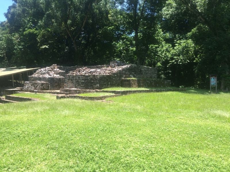
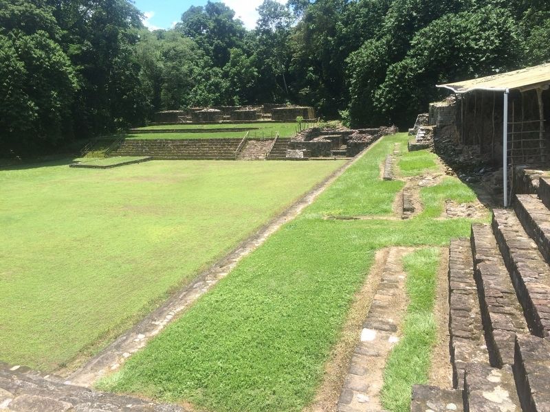
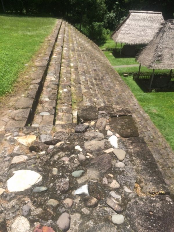
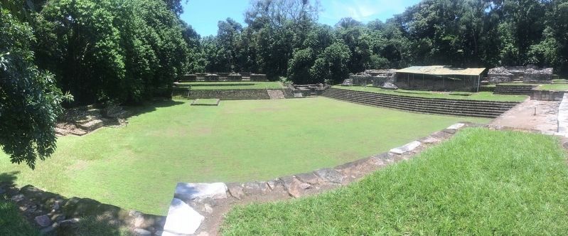
The Acropolis at Quiriguá
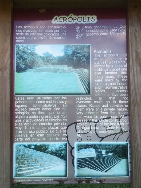
Acrópolis
Las acrópolis son construcciones masivas, formadas por una serie de edificios colocados uno sobre otro a través de muchos años.
Estas eran utilizadas por los gobernantes como residencias y lugares administrativos, su acceso parece haber sido restringido, es decir que no cualquiera podía ingresar. Los rituales y actividades realizados en ellas eran de carácter privado, muy distinto a las plazas que eran de uso público. Lo que se observa en este conjunto es del proyecto constructivo del último gobernante de Quiriquá conocido como Jade Cielo quien gobernó entre 800 y 810 d.C.
Acrópolis
The acropolis are massive constructions formed by a series of buildings placed one over another thru many years. These were used by the rulers as residences and administrative places, access seems to have been restricted, is that not everyone could go to these places. Rituals and activities in them were of a private nature, very different from the places that were for public use. What we see in this whole construction project is part of the last ruler of Quirigua known as Jade Heaven who ruled between 800 and 810 AD.
Topics. This historical marker is listed in these topic lists: Anthropology & Archaeology • Man-Made Features • Native Americans.
Location. 15° 16.133′ N, 89° 2.442′ W. Marker is in Quiriguá, Izabal, in Los Amates. The marker is at the southern part of the Archaeological Park at Quirigua, on the higher level of the Acropolis. Touch for map. Marker is in this post office area: Quiriguá, Izabal 18005, Guatemala. Touch for directions.
Other nearby markers. At least 6 other markers are within walking distance of this marker. The Ball Court Plaza (within shouting distance of this marker); A Contemporary Altar at Quiriguá (approx. 0.3 kilometers away); The Stelas of Quiriguá (approx. 0.4 kilometers away); The Great Plaza at Quirigua (approx. 0.4 kilometers away); Quirigua within the Context of the Mayan Cities (approx. half a kilometer away); Quirigua: History of the City, its Environment and Discovery (approx. 0.6 kilometers away).
Photographed By J. Makali Bruton, August 16, 2016
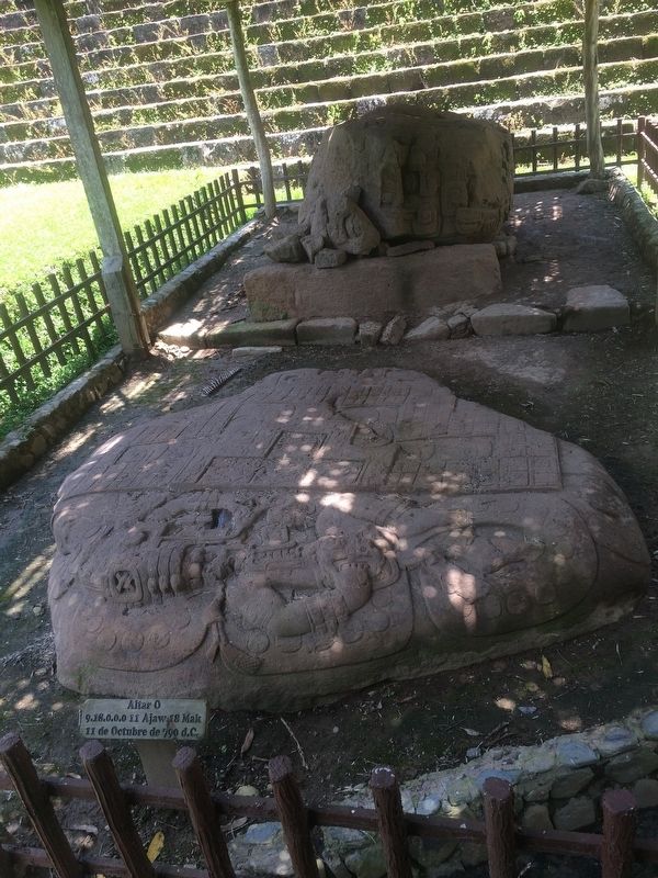
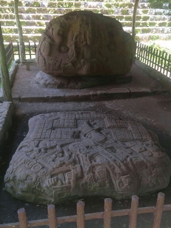
6. Intricately carved stones in front of the steps of the Acropolis.
In the background is Monument 16, Zoomorph P, showing a king, Sky Xul, sitting inside the mouth of a mythical beast. It dates from September 13, 795. In the foreground is Monument 24, Altar P, with a figure with a monstrous face lying on his back over the altar.
Credits. This page was last revised on March 2, 2018. It was originally submitted on September 20, 2016, by J. Makali Bruton of Accra, Ghana. This page has been viewed 290 times since then and 7 times this year. Photos: 1, 2, 3, 4, 5. submitted on September 20, 2016, by J. Makali Bruton of Accra, Ghana. 6, 7. submitted on October 20, 2016, by J. Makali Bruton of Accra, Ghana.
