Dupont Circle in Northwest Washington in Washington, District of Columbia — The American Northeast (Mid-Atlantic)
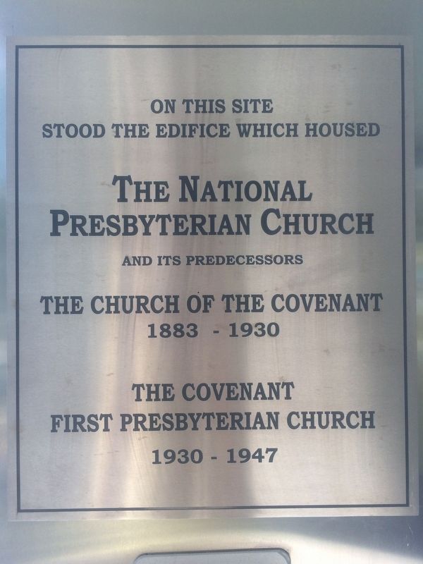
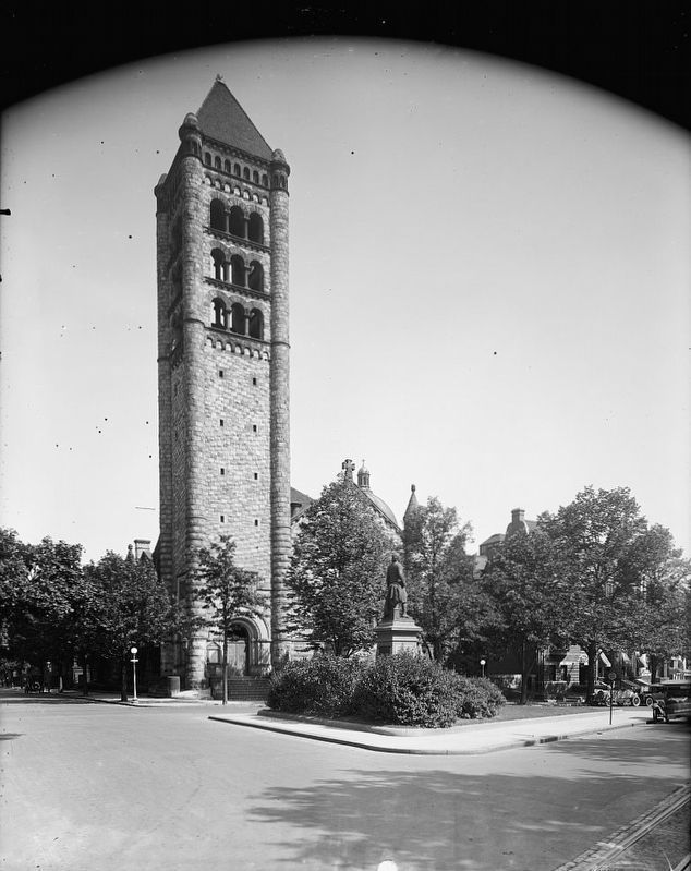
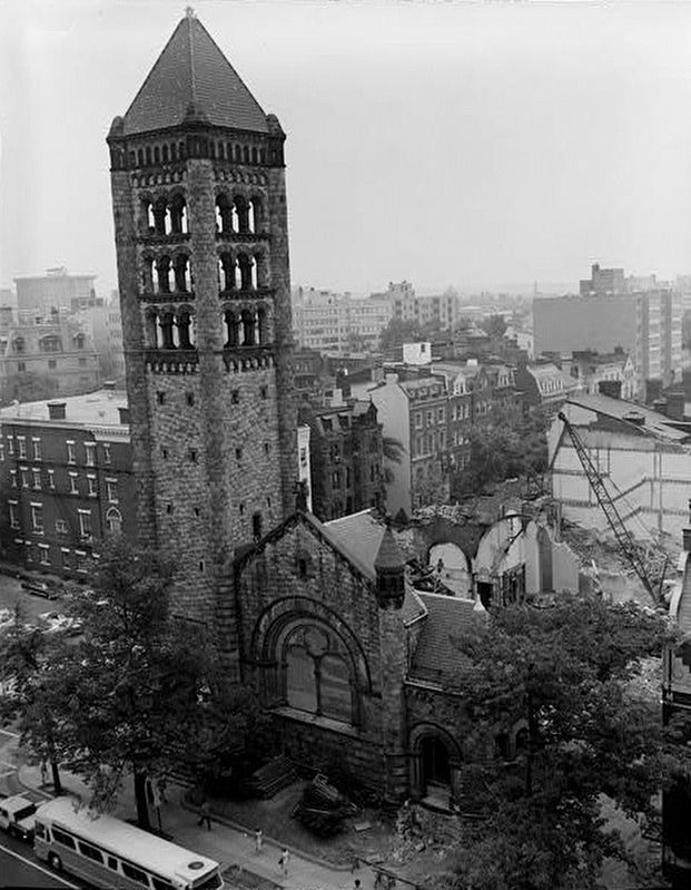
The National Presbyterian Church
stood the edifice which housed
The National
Presbyterian Church
and its predecessors
The Church of the Covenant
1883-1930
The Covenant
First Presbyterian Church
1930-1947
Topics. This historical marker is listed in this topic list: Churches & Religion. A significant historical year for this entry is 1883.
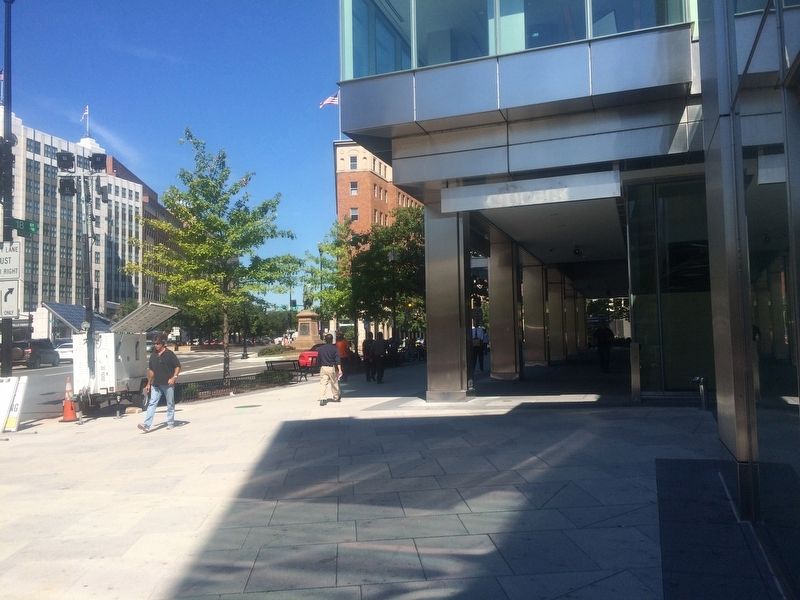
Location. 38° 54.411′ N, 77° 2.489′ W. Marker is in Northwest Washington in Washington, District of Columbia. It is in Dupont Circle. Marker can be reached from 18th Street Northwest north of Connecticut Avenue Northwest, on the right when traveling north. The marker is on the southwestern corner of The World Bank Treasury Building, on a column facing away from 18th St., NW. Touch for map. Marker is at or near this postal address: 1229 18th Street Northwest, Washington DC 20036, United States of America. Touch for directions.
Other nearby markers. At least 8 other markers are within walking distance of this marker. John Witherspoon (within shouting distance of this marker); Theodore Roosevelt (about 300 feet away, measured in a direct line); In Memory of Henry Martyn Robert (about 400 feet away); Tabard Inn (about 500 feet away); The Cathedral of St. Matthew the Apostle (about 500 feet away); General Federation of Women’s Clubs (about 500 feet away); Nuns of the Battlefield (about 500 feet away); The Elliott Coues House (about 500 feet away). Touch for a list and map of all markers in Northwest Washington.
Also see . . . Historic American Buildings Survey Record for the Church of the Covenant. Contains 13 photos and a minor amount of notes. (Submitted on September 23, 2016.)
Credits. This page was last revised on January 30, 2023. It was originally submitted on September 22, 2016, by J. Makali Bruton of Accra, Ghana. This page has been viewed 302 times since then and 13 times this year. Photos: 1, 2. submitted on September 22, 2016, by J. Makali Bruton of Accra, Ghana. 3, 4. submitted on September 23, 2016.


