Near Aladdin in Crook County, Wyoming — The American West (Mountains)
Coal Production
The Coal Miner
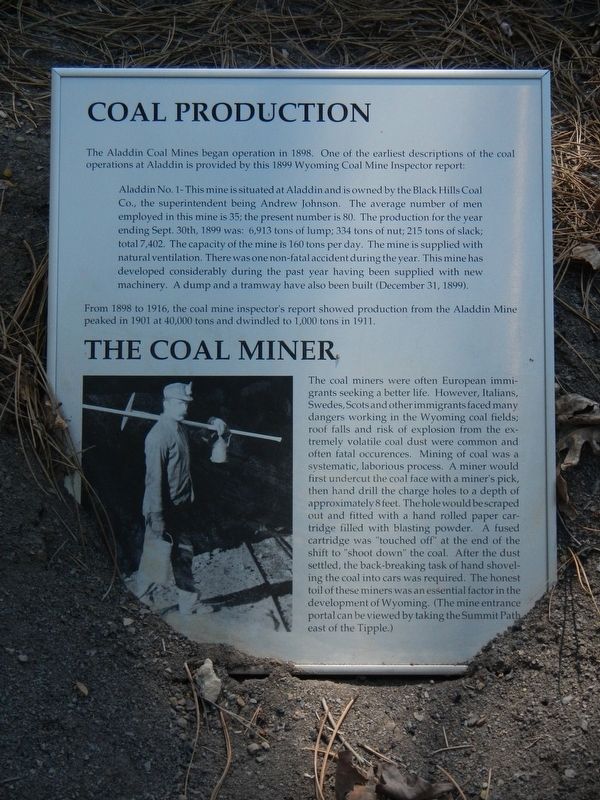
The Aladdin Coal Mine began operation in 1898. One of the earliest descriptions of the coal operations at Aladdin is provided by this 1899 Wyoming Coal Mine Inspector report:
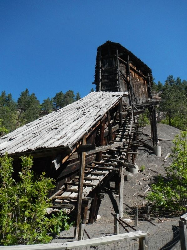
Aladdin No. 1 - This mine is situated at Aladdin and is owned by the Black Hills Coal Co., the superintendent being Andrew Johnson. The average number of men employed in the mine is 35; the present number is 80. The production for the year ending Sept. 30th, 1899 was: 6,913 tons of lump, 334 tons of nuts; 215 tons of slack; totaling 7,402. The capacity of the mine is 160 tons per day. The mine is supplied with natural ventilation. There was one non-fatal accident during the year. This mine has developed considerably during the past year having been supplied with new machinery. A dump and tramway have also been built (December 31, 1899).
From 1898 to 1916, the coal mine inspector's report showed production from the Aladdin Mine peaked in 1901 at 40,00 tons and dwindled to 1,000 tons in 1911.
The Coal Miner
The coal miners were often European immigrants seeking a better life. However, Italians, Swedes, Scots and other immigrants faced many dangers working in Wyoming coal fields; roof falls and risk of explosion from the extremely volatile coal dust were common and often fatal occurrences. Mining of coal was a systematic, laborious process. A miner would first undercut the coal face with a miners pick, then hand drill the charge holes to a depth of approximately 8 feet. The hole would be scraped out and fitted with a hand rolled paper cartridge filled with black powder. A fused cartridge was "touched off" at the end of the shift to "shoot down" the coal. After the dust settled, the back-breaking task of hand shoveling the coal into cars was required. The honest toil of these miners was an essential factor in the development of Wyoming. (The mine entrance portal can be viewed by taking the Summit Path, east of the Tipple).
Erected by Aladdin Historical Society.
Topics and series. This historical marker is listed in this topic list: Industry & Commerce. In addition, it is included in the Former U.S. Presidents: #17 Andrew Johnson series list.
Location. 44° 38.334′ N, 104° 9.762′ W. Marker is near Aladdin, Wyoming, in Crook County. Marker can be reached from State Highway 24 near Owl Creek Road, on the left when traveling east. Touch for map. Marker is in this post office area: Aladdin WY 82710, United States of America. Touch for directions.
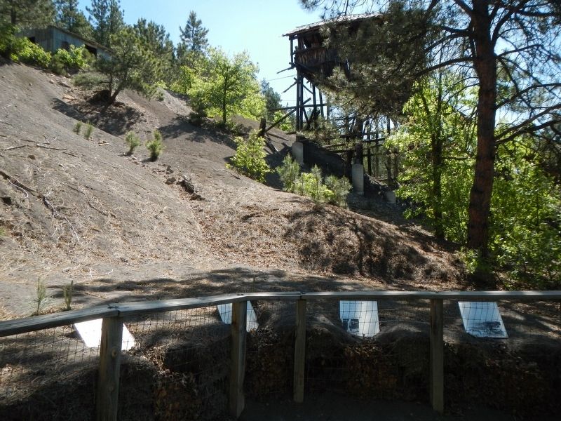
Other nearby markers. At least 8 other markers are within 8 miles of this marker, measured as the crow flies. Tipple Stabilazation (sic) (here, next to this marker); Tipple Operation (here, next to this marker);
Aladdin Tipple History (a few steps from this marker); Later Years of Operation (within shouting distance of this marker); Adit Entrance (within shouting distance of this marker); The Hoist House (within shouting distance of this marker); Bioremediation (within shouting distance of this marker); Vore Buffalo Jump (approx. 7.1 miles away). Touch for a list and map of all markers in Aladdin.
More about this marker. Aladdin Tipple Historical Interpretive Park is approximately 1/2 mile east of Aladdin.
Credits. This page was last revised on September 23, 2016. It was originally submitted on September 23, 2016, by Barry Swackhamer of Brentwood, California. This page has been viewed 357 times since then and 28 times this year. Photos: 1, 2, 3. submitted on September 23, 2016, by Barry Swackhamer of Brentwood, California.


