Enfield in Grafton County, New Hampshire — The American Northeast (New England)
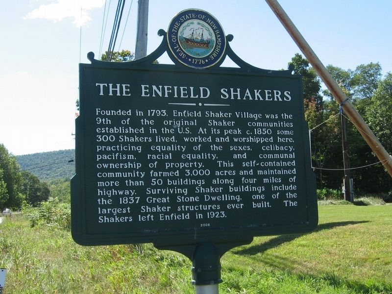
The Enfield Shakers
Erected 2006.
Topics and series. This historical marker is listed in these topic lists: Colonial Era • Settlements & Settlers. In addition, it is included in the Communal and Utopian Societies series list.
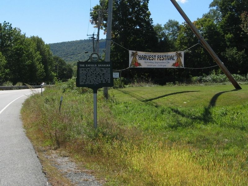
Location. 43° 37.209′ N, 72° 8.833′ W. Marker is in Enfield, New Hampshire, in Grafton County. Marker is at the intersection of New Hampshire Route 4A and Caleb Dyer Lane, on the right when traveling south on State Route 4A. Touch for map. Marker is in this post office area: Enfield NH 03748, United States of America. Touch for directions.
Other nearby markers. At least 8 other markers are within 2 miles of this marker, measured as the crow flies. Leviston Tannery (approx. 1.4 miles away); Leviston House (approx. 1.4 miles away); Fogg’s Hardware Store (approx. 1½ miles away); Frank Williams Department Store (approx. 1½ miles away); Downtown Enfield Village (approx. 1½ miles away); The Copeland Block (approx. 1½ miles away); Office of the Enfield Advocate (approx. 1½ miles away); Enfield World War I Monument (approx. 1.6 miles away). Touch for a list and map of all markers in Enfield.
Also see . . . The Enfield Shaker Museum. (Submitted on September 24, 2016, by Michael Herrick of Southbury, Connecticut.)
Credits. This page was last revised on February 16, 2023. It was originally submitted on September 24, 2016, by Michael Herrick of Southbury, Connecticut. This page has been viewed 391 times since then and 43 times this year. Photos: 1, 2. submitted on September 24, 2016, by Michael Herrick of Southbury, Connecticut.

