Near Yountville in Napa County, California — The American West (Pacific Coastal)
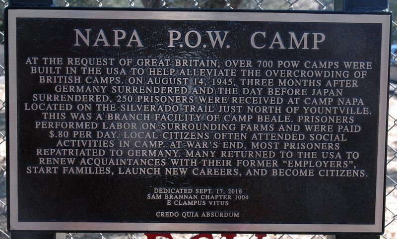
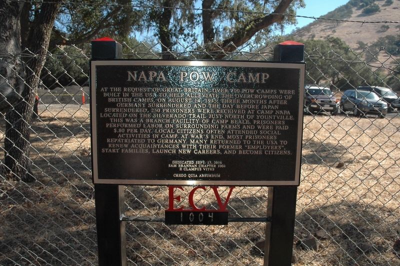
Napa P.O.W. Camp
Erected 2016 by Sam Brannan Chapter #1004 E Clampus Vitus.
Topics and series. This historical marker is listed in this topic list: War, World II. In addition, it is included in the E Clampus Vitus series list. A significant historical date for this entry is August 14, 1945.
Location. 38° 26.285′ N, 122° 20.94′ W. Marker is near Yountville, California, in Napa County. Marker is on Silverado Trail, one mile north of Yountville Crossroad, on the right when traveling north. Touch for map. Marker is at or near this postal address: 7292 Silverado Trail, Napa California 94599, Yountville CA 94599, United States of America. Touch for directions.
Other nearby markers. At least 8 other markers are within 3 miles of this marker, measured as the crow flies. Site of Yount’s Blockhouse (approx. 1.6 miles away); Grave of George C. Yount (approx. 2.3 miles away); The Pioneer Christian Church Bell (approx. 2.4 miles away); Yountville (approx. 2½ miles away); Yountville's First Fire House (approx. 2½ miles away); Yountville Community Hall (approx. 2.6 miles away); George Yount's Millstones (approx. 2.6 miles away); Map of Groezinger's Addition (approx. 2.6 miles away). Touch for a list and map of all markers in Yountville.
Credits. This page was last revised on September 29, 2016. It was originally submitted on September 17, 2016, by Loren Wilson of Sebastopol, California. This page has been viewed 511 times since then and 50 times this year. Last updated on September 29, 2016, by Loren Wilson of Sebastopol, California. Photos: 1, 2. submitted on September 17, 2016, by Loren Wilson of Sebastopol, California. • Syd Whittle was the editor who published this page.

