Near Guernsey in Platte County, Wyoming — The American West (Mountains)
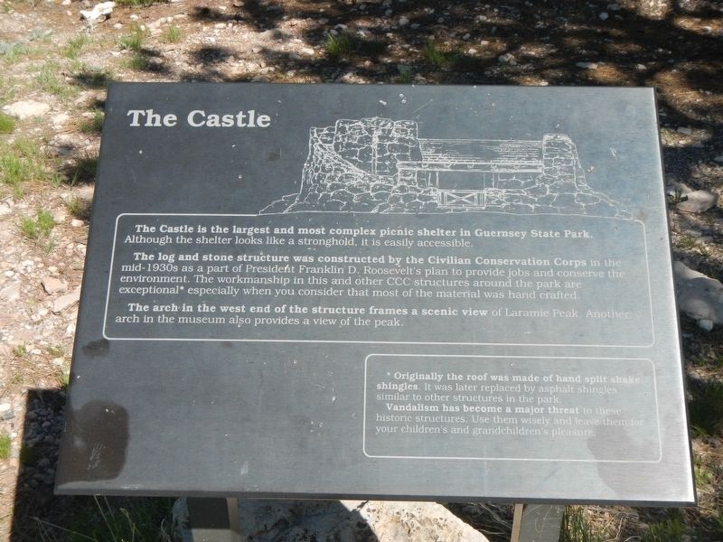
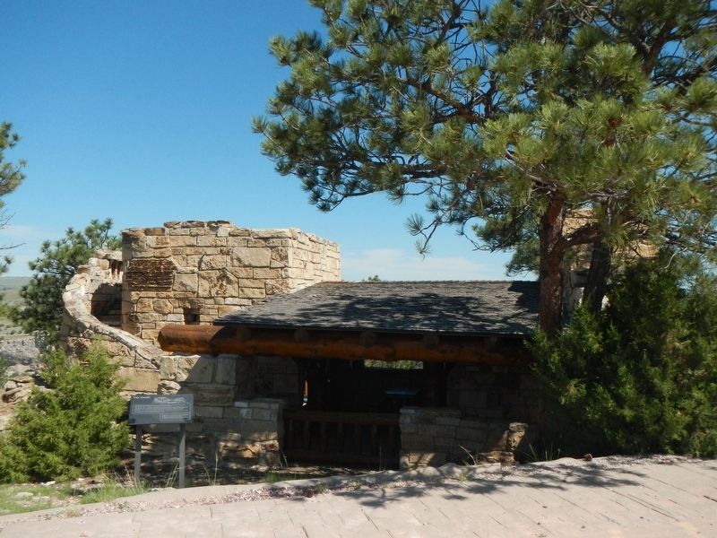
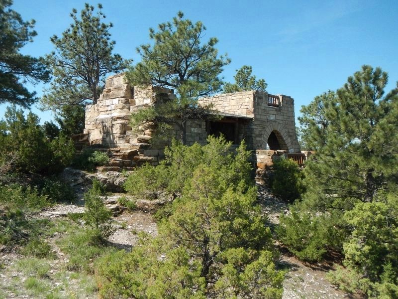
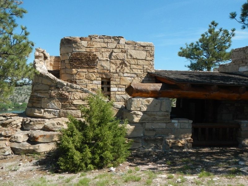
The Castle
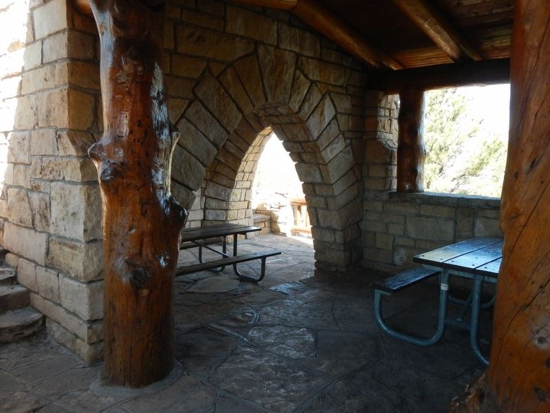
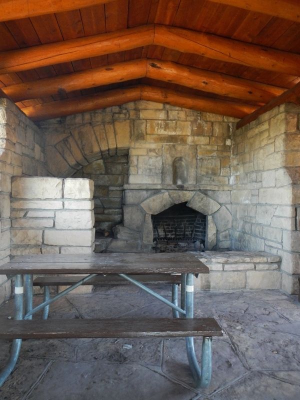
The log and stone structure was constructed by the Civilian Conservation Corps in the mid-1930s as a part of President Franklin D. Roosevelt’s plan to provide jobs and conserve the environment. The workmanship in this and other CCC structures around the park are exceptional* especially when you consider that most of the material was hand crafted.
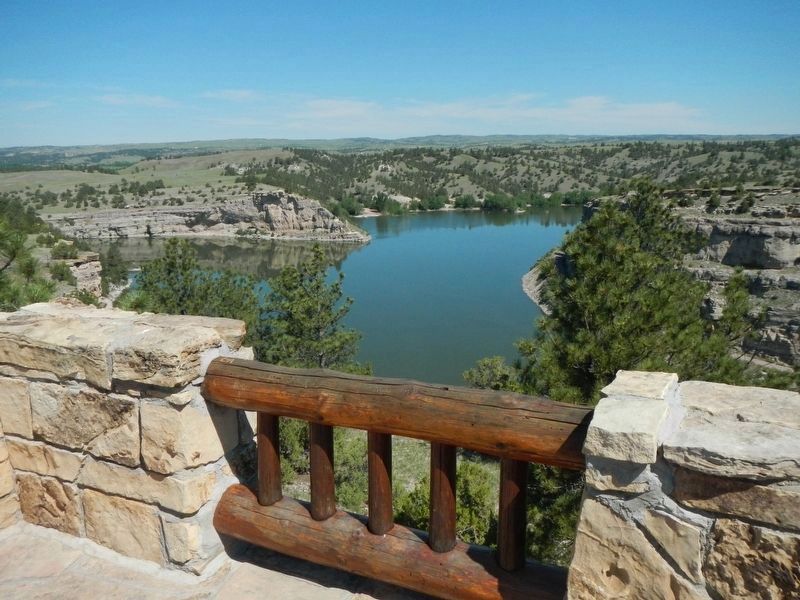
The arch in the west end of the structure frames a scenic view of Laramie Peak. Another arch in the museum also provides a view of the peak.
*Originally the roof was made of hand split shake shingles. It was later replaced by asphalt shingles similar to other structures in the park.
Vandalism has become a major threat to these historic structures. Use them wisely and leave them for your children’s and grandchildren’s pleasure.
Erected by Wyoming State Parks and Historic Sites.
Topics and series. This historical marker is listed in these topic lists: Charity & Public Work • Entertainment • Environment. In addition, it is included in the Civilian Conservation Corps (CCC) series list.
Location. 42° 19.265′ N, 104° 46.998′ W. Marker is near Guernsey, Wyoming, in Platte County. Marker is on Castle Drive near Skyline Drive, on the left when traveling north. Touch for map. Marker is in this post office area: Guernsey WY 82214, United States of America. Touch for directions.
Other nearby markers. At least 8 other markers are within 4 miles of this marker, measured as the crow flies. "Million Dollar Biffy" (within shouting distance of this marker); Civilian Conservation Corps (approx. 1.2 miles away); Brimmer Point (approx. 1.4 miles away); Guernsey Tunnel No. 2 (approx. 1˝ miles away); The Guernsey-Wendover Cutoff (approx. 1˝ miles away); Guernsey State Park Museum (approx. 2.1 miles away); Hartville (approx. 2.8 miles away); Oregon Trail (approx. 3.6 miles away). Touch for a list and map of all markers in Guernsey.
More about this marker. The Castle is located in Guernsey State Park on the Castle Drive loop.
Credits. This page was last revised on October 4, 2016. It was originally submitted on October 4, 2016, by Barry Swackhamer of Brentwood, California. This page has been viewed 616 times since then and 41 times this year. Photos: 1, 2, 3, 4, 5, 6, 7. submitted on October 4, 2016, by Barry Swackhamer of Brentwood, California.
