Cape Charles in Northampton County, Virginia — The American South (Mid-Atlantic)
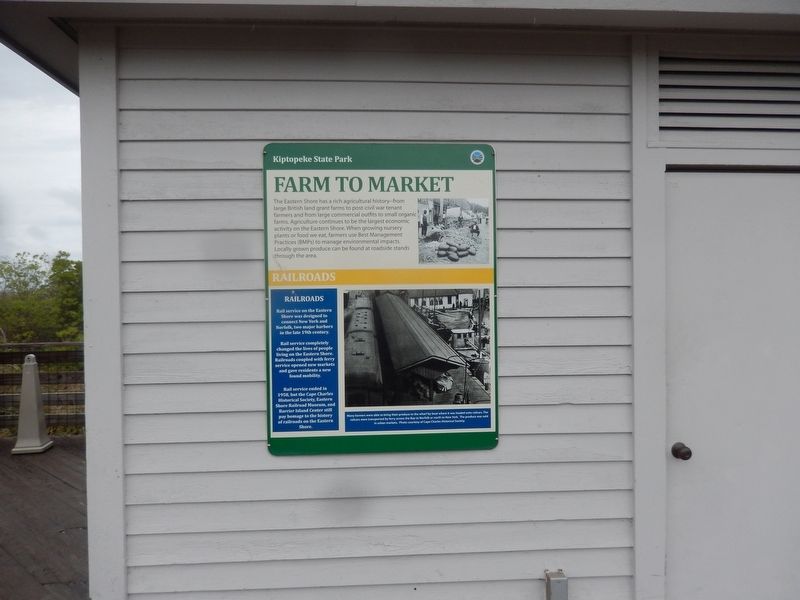
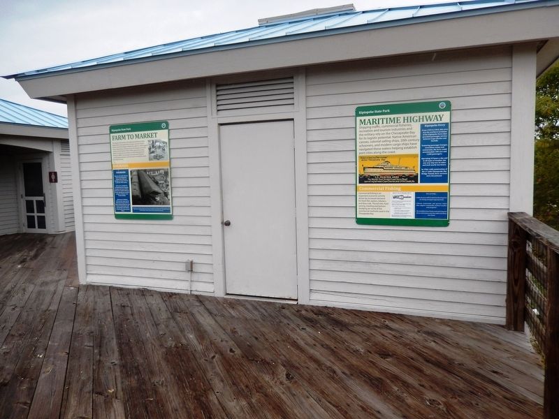
Farm to Market
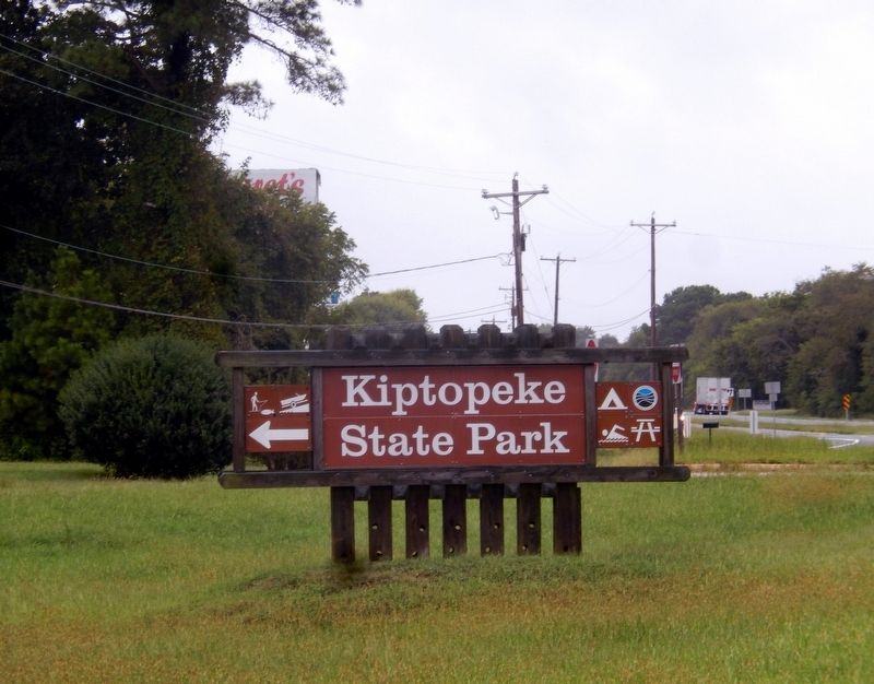
Kiptopeke State Park
The Eastern Shore has a rich agricultural history--from large British land grant farms to post-civil war tenant farmers and from large commercial outfits to small organic farms. Agriculture continues to be the largest economic activity on the Eastern Shore. When growing nursery plants or food we eat, farmers use Best Management Practices (BMPs) to manage environmental impacts. Locally grown produce can be found at roadside stands through the area.
Railroads
Rail service on the Eastern Shore was designed to connect New York and Norfolk, two major harbors in the late 19th century.
Rail service completely changed the lives of people living on the Eastern Shore. Railroads coupled with ferry service opened new markets and gave residents a new found mobility.
Rail service ended in 1958, but Cape Charles Historical Society, Eastern Shore Railroad Museum, and Barrier Island Center still pay homage to the history of railroads on the Eastern Shore.
(caption)
(lower right) Many farmers were able to bring their produce to the wharf by boat where it was loaded onto railcars. The railcars were transported by ferry across the Bay to Norfolk or north to New York. The produce was sold in urban markets. Photo courtesy of Cape Charles Historical Society.
Topics. This historical marker is listed in these topic lists: Agriculture • Industry & Commerce • Railroads & Streetcars • Waterways & Vessels.
Location. 37° 10.055′ N, 75° 59.203′ W. Marker is in Cape Charles, Virginia, in Northampton County. Marker is on Kiptopeke Drive, 0.4 miles west of Florida Avenue, on the right when traveling west. Touch for map. Marker is at or near this postal address: 3540 Kiptopeke Drive, Cape Charles VA 23310, United States of America. Touch for directions.
Other nearby markers. At least 8 other markers are within 5 miles of this marker, measured as the crow flies. Maritime Highway (here, next to this marker); Chesapeake Bay (here, next to this marker); The Dunes (here, next to this marker); A Good Start (about 700 feet away, measured in a direct line); Concrete Ships (about 700 feet away); Chesapeake Bay Bridge-Tunnel (approx. 2.7 miles away); Fisherman Island NWR (approx. 3.4 miles away); Mansion Site (approx. 4.3 miles away). Touch for a list and map of all markers in Cape Charles.

Photographed By Don Morfe, September 21, 2016
3. Kiptopeke State Park
Virginia Department of Conservation and Recreation website entry
Click for more information.
Click for more information.
Credits. This page was last revised on May 22, 2021. It was originally submitted on October 12, 2016, by Don Morfe of Baltimore, Maryland. This page has been viewed 248 times since then and 8 times this year. Photos: 1, 2, 3. submitted on October 12, 2016, by Don Morfe of Baltimore, Maryland. • Bernard Fisher was the editor who published this page.

