Commerce on the Water
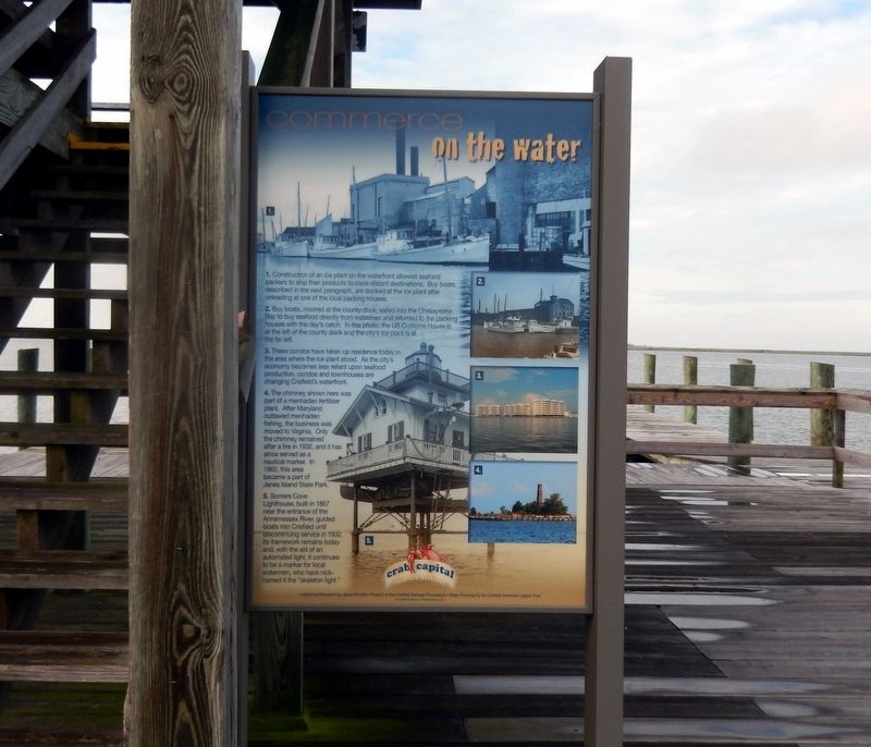
1. Construction of an ice plant on the waterfront allowed seafood packers to ship their products to more distant destinations. Buy boats, described in the next paragraph, are docked at the ice plant after unloading at one of the local packing houses.
2. Buy boats, moored at the county dock, sailed into the Chesapeake Bay to buy seafood directly from watermen and returned to the packing houses with the day’s catch. In this photo, the U.S. Customs House is at the left of the county dock and the city’s ice plant is at the far left.
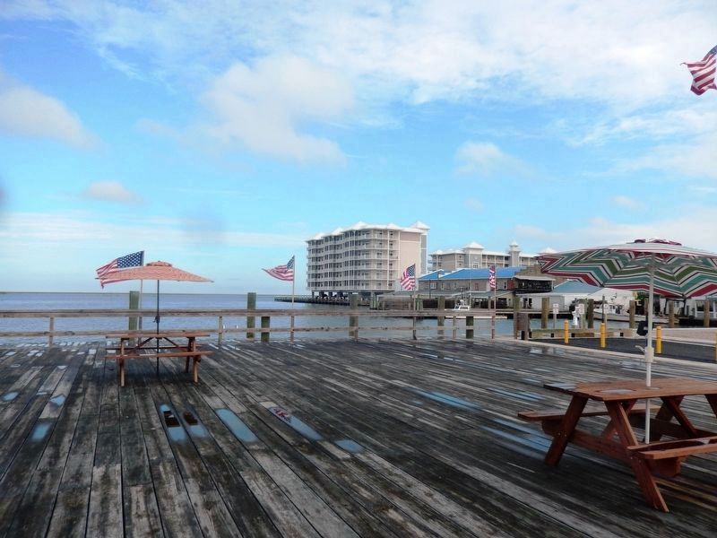
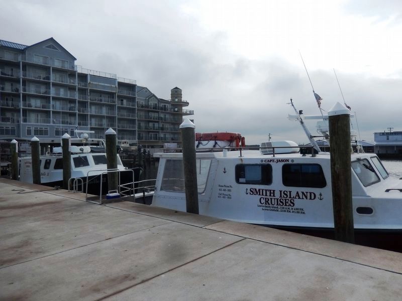
3. These condos have taken up residence today in the area where the ice plant stood. As the city’s economy becomes less reliant upon seafood production, condos and townhouses are changing Crisfield’s waterfront.
4. The chimney shown here was part of a menhaden fertilizer plant. After Maryland outlawed menhaden fishing, the business was moved to Virginia. Only the chimney remained after a fire in 1932, and it has since served as a nautical marker. In 1962, this area became a part of Janes Island State Park.
5. Somers Cove Lighthouse, built in 1867 near the entrance of the Annemessex River, guided boats into Crisfield until discontinuing service in 1932. Its framework remains today and, with the aid of an automated light, it continues to be a marker for local watermen, who have nick-named
it the “skeleton light.”
Crab capital-Crisfield Maryland. *Historical Research by Jason Rhodes *Project of the Crisfield Heritage Foundation *Major Funding by the Crisfield American Legion Post. Production & Design by Crisfield Design, Inc.
Topics. This historical marker is listed in these topic lists: Industry & Commerce • Waterways & Vessels. A significant historical year for this entry is 1932.
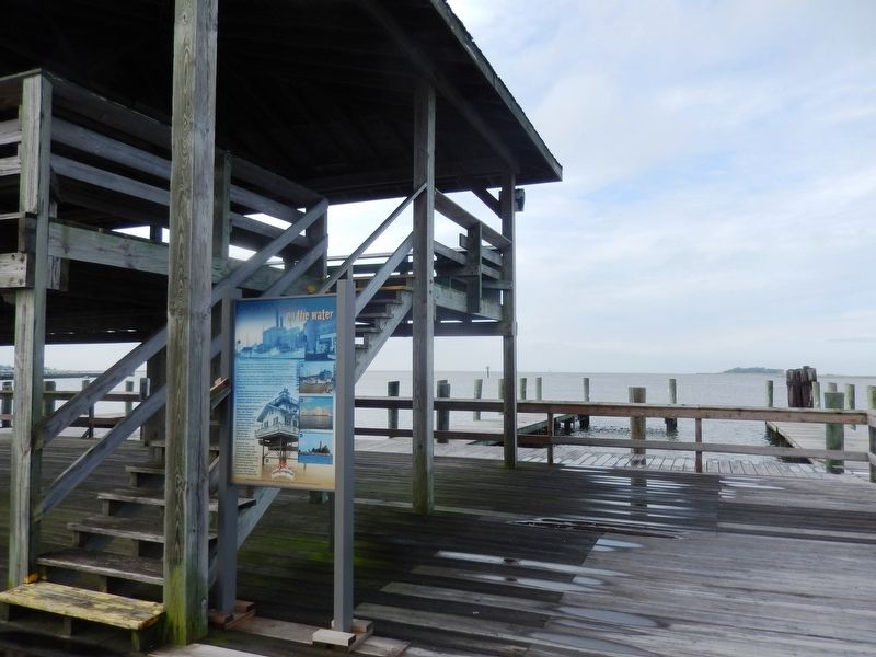
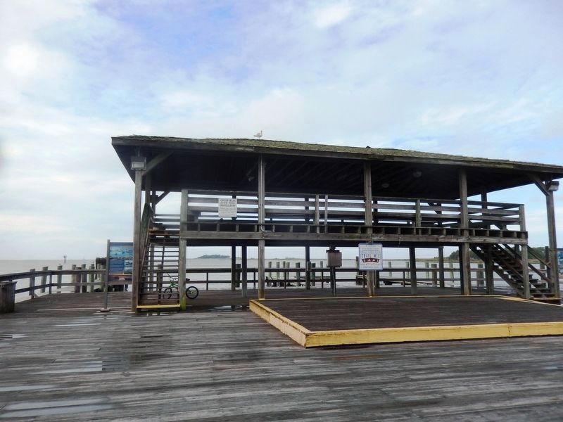
Location. 37° 58.657′ N, 75° 51.847′ W. Marker is in Crisfield, Maryland, in Somerset County. Marker is on West Main Street (MD 413). The marker is located on the city dock which is at the foot of Main Street. Touch for map. Marker is in this post office area: Crisfield MD 21817, United States of America. Touch for directions.
Other nearby markers. At least 8 other markers are within 4 miles of this marker, measured as the crow flies. The Evolving Crisfield Harbor (a few steps from this marker); Crisfield (approx. ¼ mile away); J. Millard Tawes (approx. 0.7 miles away); 'Spirit Of The American Doughboy' (approx. 1.1 miles away); The J. Millard Tawes Homeplace (approx. 1.2 miles away); Make Peace (approx. 1.8 miles away); Searching for Water (approx. 2½ miles away); Ye Old St. Peters Methodist Church (approx. 3.6 miles away). Touch for a list and map of all markers in Crisfield.
Credits. This page was last revised on October 14, 2016. It was originally submitted on October 13, 2016, by Don Morfe of Baltimore, Maryland. This page has been viewed 280 times since then and 13 times this year. Photos: 1, 2, 3, 4, 5, 6. submitted on October 13, 2016, by Don Morfe of Baltimore, Maryland. • Bill Pfingsten was the editor who published this page.
