Stillwater in Saratoga County, New York — The American Northeast (Mid-Atlantic)
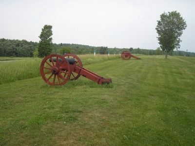
Bemis Heights
Erected by Saratoga National Historic Park, National Park Service.
Topics. This historical marker is listed in these topic lists: Military • Notable Events • Notable Places • War, US Revolutionary.
Location. 42° 59.192′ N, 73° 38.448′ W. Marker is in Stillwater, New York, in Saratoga County. Marker can be reached from Park Tour Road, on the left when traveling south. Marker is located in Saratoga National Historic Park along the auto tour road. Touch for map. Marker is in this post office area: Stillwater NY 12170, United States of America. Touch for directions.
Other nearby markers. At least 8 other markers are within walking distance of this marker. The Neilson Farm (about 300 feet away, measured in a direct line); Kosciuszko (about 300 feet away); Who Fought For The United States Here? (about 400 feet away); Unknown American Soldiers (about 400 feet away); New Hampshire Memorial (about 500 feet away); Gates Headquarters (approx. 0.4 miles away); Asa Chatfield Farm (approx. 0.6 miles away); The Path to Battle (approx. 0.6 miles away). Touch for a list and map of all markers in Stillwater.
Click on the ad for more information.
Please report objectionable advertising to the Editor.
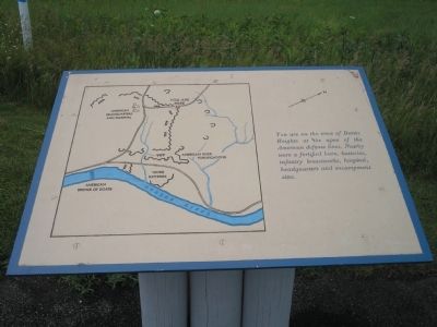
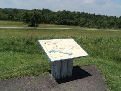
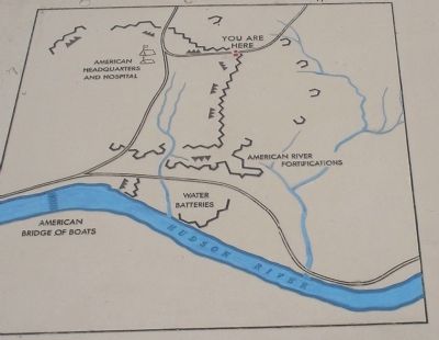
sectionhead>More about this marker. The left of the marker features a map of the American Encampment and forticifations on Bemis Heights in 1777.Please report objectionable advertising to the Editor.
Also see . . .
1. The Battle of Saratoga. Saratoga County Chamber of Commerce website entry (Submitted on March 29, 2022, by Larry Gertner of New York, New York.)
2. Saratoga National Historic Park. National Park Service. (Submitted on August 3, 2008, by Bill Coughlin of Woodland Park, New Jersey.)
3. A British perspective on the Battle of Saratoga from BritishBattles.com. (Submitted on July 18, 2013, by Bill Coughlin of Woodland Park, New Jersey.)
Credits. This page was last revised on March 29, 2022. It was originally submitted on August 3, 2008, by Bill Coughlin of Woodland Park, New Jersey. This page has been viewed 1,952 times since then and 62 times this year. Photos: 1. submitted on August 3, 2008, by Bill Coughlin of Woodland Park, New Jersey. 2. submitted on July 18, 2013, by Bill Coughlin of Woodland Park, New Jersey. 3, 4, 5, 6. submitted on August 3, 2008, by Bill Coughlin of Woodland Park, New Jersey.
