Lucketts in Loudoun County, Virginia — The American South (Mid-Atlantic)
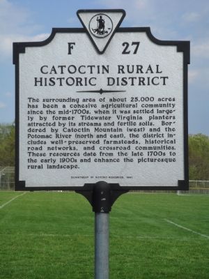
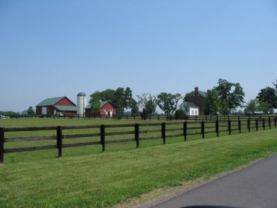
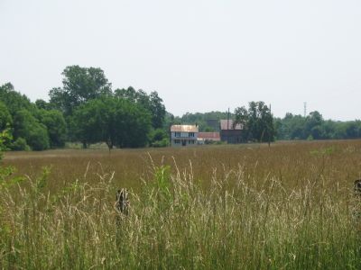
Catoctin Rural Historic District
Erected 1991 by the Department of Historic Resources. (Marker Number F-27.)
Topics and series. This historical marker is listed in these topic lists: Agriculture • Settlements & Settlers. In addition, it is included in the Virginia Department of Historic Resources (DHR) series list.
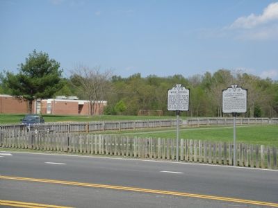
Location. 39° 12.741′ N, 77° 32.128′ W. Marker is in Lucketts, Virginia, in Loudoun County. Marker is on James Monroe Highway (U.S. 15) south of Stumptown Road and Lucketts Road, on the left when traveling south. It is next to the Elementary School at Lucketts Community Park. Touch for map. Marker is in this post office area: Leesburg VA 20176, United States of America. Touch for directions.
Other nearby markers. At least 8 other markers are within 3 miles of this marker, measured as the crow flies. Wayne’s Crossing (here, next to this marker); Lucketts School (approx. 0.2 miles away); Potomac Crossings (approx. half a mile away); The Kincaid Farm Barns (approx. 2.3 miles away); Welcome to Temple Hall Farm Regional Park (approx. 2.3 miles away); Conditions of the Enslaved at Temple Hall Farm (approx. 2.3 miles away); Enslaved Workers at Temple Hall Farm (approx. 2.3 miles away); This Is Temple Hall! (approx. 2.3 miles away). Touch for a list and map of all markers in Lucketts.
More about this marker. This and the other marker are turned to face the roadway, so they are difficult to see until you are upon them.
Credits. This page was last revised on July 14, 2019. It was originally submitted on May 2, 2007, by J. J. Prats of Powell, Ohio. This page has been viewed 1,410 times since then and 26 times this year. Photos: 1, 2. submitted on May 2, 2007, by J. J. Prats of Powell, Ohio. 3, 4. submitted on June 17, 2007, by Craig Swain of Leesburg, Virginia.


