Lawrence Township in Mercer County, New Jersey — The American Northeast (Mid-Atlantic)
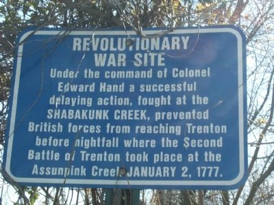
Revolutionary War Site
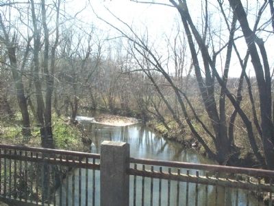
[Shabakunk Creek]
Topics. This historical marker is listed in these topic lists: War, US Revolutionary • Waterways & Vessels. A significant historical date for this entry is January 2, 1777.
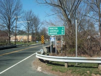
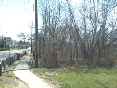
Location. 40° 15.221′ N, 74° 44.526′ W. Marker is in Lawrence Township, New Jersey, in Mercer County. Marker is on Lawrenceville Road (U.S. 206) one mile north of Princeton Pike, on the right. The same marker is posted on both the north & south bound sides Lawrenceville Road on opposite banks of the Shabakunk Creek. Touch for map. Marker is in this post office area: Lawrence Township NJ 08648, United States of America. Touch for directions.
Other nearby markers. At least 8 other markers are within 3 miles of this marker, measured as the crow flies. Route of Washington’s March (approx. 2.2 miles away); Trenton Battle Monument (approx. 2.3 miles away); a different marker also named Trenton Battle Monument (approx. 2.3 miles away); Black Soldiers and Patriots (approx. 2.3 miles away); Temple-Ryan Farmhouse (approx. 2.4 miles away); a different marker also named Route of Washington’s March (approx. 2.4 miles away); a different marker also named Route of Washington’s March (approx. 2.4 miles away); Delaware and Raritan Canal State Park / The Bel-Del (approx. 2.4 miles away).
Credits. This page was last revised on February 7, 2023. It was originally submitted on August 3, 2008, by Gary Nigh of Trenton, New Jersey. This page has been viewed 2,477 times since then and 52 times this year. Photos: 1, 2, 3, 4. submitted on August 3, 2008, by Gary Nigh of Trenton, New Jersey. • Kevin W. was the editor who published this page.


