Burkesville in Cumberland County, Kentucky — The American South (East South Central)
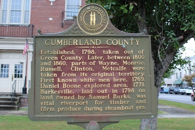
Cumberland County
Erected 1966 by Kentucky Historical Society & Kentucky Department of Highways. (Marker Number 959.)
Topics. This historical marker is listed in these topic lists: Exploration • Industry & Commerce • Settlements & Settlers. A significant historical year for this entry is 1798.
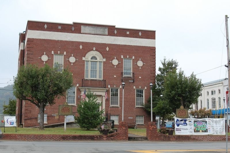
Location. 36° 47.418′ N, 85° 22.229′ W. Marker is in Burkesville, Kentucky, in Cumberland County. Marker is at the intersection of North Main Street (Kentucky Route 61) and Hill Street, on the left when traveling south on North Main Street. Marker is located on Courthouse Square. Touch for map. Marker is in this post office area: Burkesville KY 42717, United States of America. Touch for directions.
Other nearby markers. At least 8 other markers are within 9 miles of this marker, measured as the crow flies. Morgan On To Ohio (a few steps from this marker); Raiders Entered Here (within shouting distance of this marker); Smith Pharmacy (within shouting distance of this marker); Lincoln's Father Here (within shouting distance of this marker); Burkesville Ferry (approx. 0.4 miles away); Skirmish at Norris Branch (approx. 2.7 miles away); Confederate Crossings at Neeley's Ferry (approx. 3 miles away); Civil War Camp at Marrowbone (approx. 8.6 miles away). Touch for a list and map of all markers in Burkesville.
Credits. This page was last revised on October 19, 2016. It was originally submitted on October 18, 2016, by Tom Bosse of Jefferson City, Tennessee. This page has been viewed 473 times since then and 33 times this year. Photos: 1, 2. submitted on October 18, 2016, by Tom Bosse of Jefferson City, Tennessee. • Bernard Fisher was the editor who published this page.

