Near Washington in Daviess County, Indiana — The American Midwest (Great Lakes)
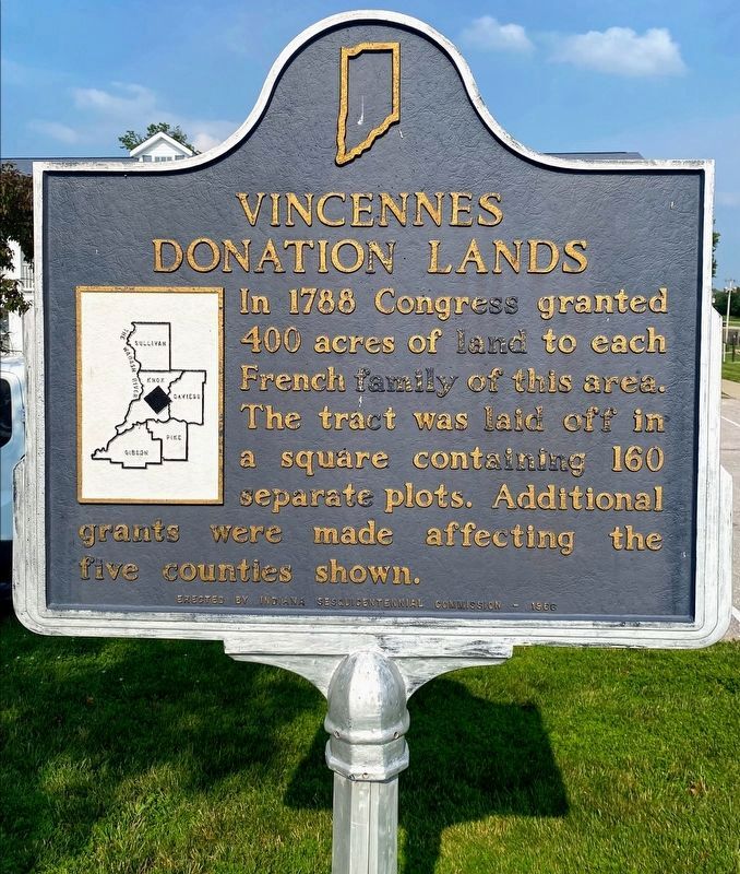
Vincennes Donation Lands
Erected 1966 by Indiana Sesquicentennial Commission. (Marker Number 14.1966.1.)
Topics and series. This historical marker is listed in this topic list: Settlements & Settlers. In addition, it is included in the Indiana Historical Bureau Markers series list. A significant historical year for this entry is 1788.
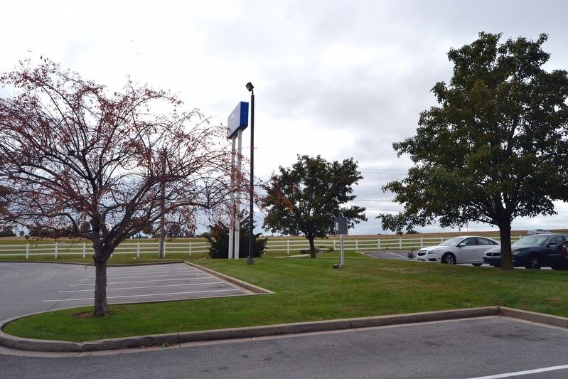
Location. 38° 37.822′ N, 87° 10.622′ W. Marker is near Washington, Indiana, in Daviess County. Marker can be reached from Cumberland Drive, 0.2 miles east of State Road 57. Marker is located in median between two commercial parking lots 325 feet south of Cumberland Drive. Touch for map. Marker is in this post office area: Washington IN 47501, United States of America. Touch for directions.
Other nearby markers. At least 8 other markers are within 11 miles of this marker, measured as the crow flies. Baltimore & Ohio Southwestern Railroad Depot (approx. 1.7 miles away); Fort Flora (approx. 1.8 miles away); Abraham Lincoln (approx. 1.9 miles away); Civil War Memorial - Daviess County Indiana (approx. 2 miles away); Mimi's House (approx. 2.2 miles away); Robert C. Graham (approx. 2.6 miles away); Homer E. Capehart / GOP Cornfield Conference (approx. 8 miles away); The Buffalo Trace (approx. 10.3 miles away). Touch for a list and map of all markers in Washington.
Regarding Vincennes Donation Lands. The five counties shown on the marker map are Sullivan, Knox, Daviess, Gibson, and Pike.
Credits. This page was last revised on July 2, 2021. It was originally submitted on October 19, 2016, by Duane Hall of Abilene, Texas. This page has been viewed 361 times since then and 15 times this year. Photos: 1. submitted on July 1, 2021, by Shane Oliver of Richmond, Virginia. 2. submitted on October 19, 2016, by Duane Hall of Abilene, Texas.

