Stillwater in Saratoga County, New York — The American Northeast (Mid-Atlantic)
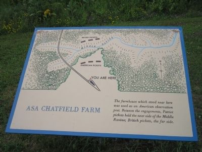
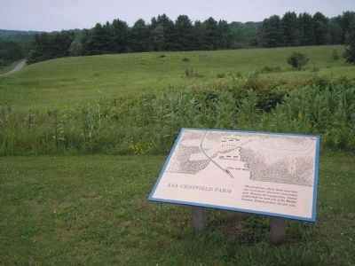
Asa Chatfield Farm
Erected by Saratoga National Historic Park, National Park Service.
Topics. This historical marker is listed in these topic lists: Military • Notable Events • Notable Places • War, US Revolutionary.
Location. 42° 59.706′ N, 73° 38.598′ W. Marker is in Stillwater, New York, in Saratoga County. Marker is on Park Tour Road, on the right when traveling north. Marker is located in Saratoga National Historic Park along the auto tour road. Touch for map. Marker is in this post office area: Stillwater NY 12170, United States of America. Touch for directions.
Other nearby markers. At least 8 other markers are within walking distance of this marker. The Path to Battle (within shouting distance of this marker); Saratoga 1777 (approx. 0.2 miles away); a different marker also named Saratoga 1777 (approx. ¼ mile away); Rockefeller Memorial (approx. 0.3 miles away); a different marker also named Saratoga 1777 (approx. 0.3 miles away); Timothy Murphy (approx. 0.3 miles away); Brig. Gen. Abraham Ten Broeck (approx. 0.4 miles away); The Battle Begins at Barber’s Wheat Field (approx. 0.4 miles away). Touch for a list and map of all markers in Stillwater.
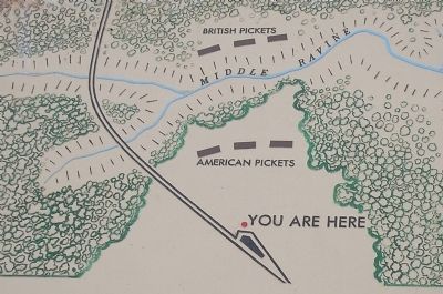
More about this marker. The top of the marker features a map showing the locations of the British and American pickets in relation to the marker.
Also see . . .
1. The Battle of Saratoga. Saratoga County Chamber of Commerce website entry (Submitted on August 3, 2008, by Bill Coughlin of Woodland Park, New Jersey.)
2. Saratoga National Historic Park. National Park Service. (Submitted on August 3, 2008, by Bill Coughlin of Woodland Park, New Jersey.)
3. A British perspective on the Battle of Saratoga from BritishBattles.com. (Submitted on July 18, 2013, by Bill Coughlin of Woodland Park, New Jersey.)
Additional commentary.
1. Asa Chatfield Farm
Someday the NPS might get around to correcting this marker. They have had and confirmed that this was not Asa's farm over 30 years ago, but Jesse Chatfields farm. At the time of the battle Asa was only 7 years old. His father Jesse was 45 at the time. Asa was a Captain in the war of 1812 and died
in 1828
— Submitted October 3, 2010, by Charles Chatfield of Palm Coast, Florida.
Photographed By Bill Coughlin, July 13, 2008
3. Site of Chatfield Farm
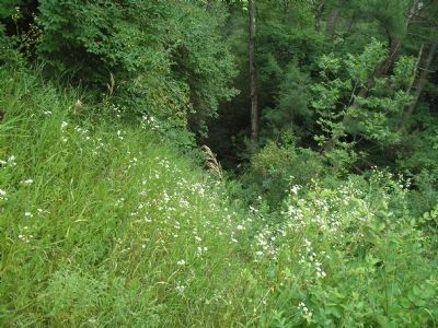
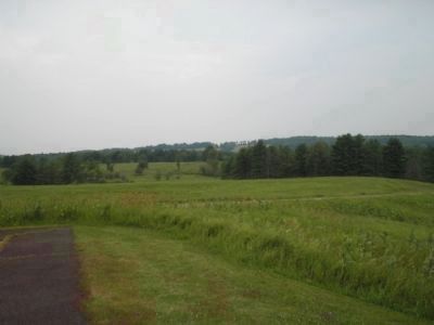
The photo, taken from in front of the marker, looks in the direction of the British pickets and fortifications. The Middle Ravine is located just beyond the tree line. The Americans and British troops often exchanged gunfire prior to the October 7, 1777 Battle of Saratoga.
Credits. This page was last revised on March 29, 2022. It was originally submitted on August 3, 2008, by Bill Coughlin of Woodland Park, New Jersey. This page has been viewed 1,382 times since then and 39 times this year. Photos: 1, 2, 3, 4, 5. submitted on August 3, 2008, by Bill Coughlin of Woodland Park, New Jersey.
