Near Loogootee in Martin County, Indiana — The American Midwest (Great Lakes)
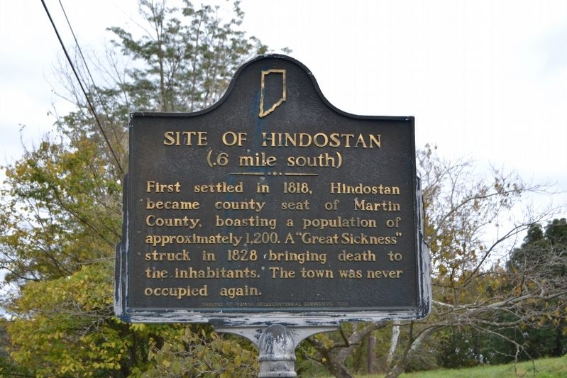
Site of Hindostan
(.6 mile south)
Erected 1966 by Indiana Sesquicentennial Commission. (Marker Number 51.1966.1.)
Topics and series. This historical marker is listed in this topic list: Settlements & Settlers. In addition, it is included in the Indiana Historical Bureau Markers series list. A significant historical year for this entry is 1818.
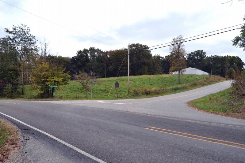
Location. 38° 37.948′ N, 86° 51.053′ W. Marker is near Loogootee, Indiana, in Martin County. Marker is at the intersection of State Road 550 and Hindostan Falls Road (County Road 55), on the right when traveling east on State Road 550. Touch for map. Marker is in this post office area: Shoals IN 47581, United States of America. Touch for directions.
Other nearby markers. At least 5 other markers are within 14 miles of this marker, measured as the crow flies. Martin County Honor Roll (approx. 3.9 miles away); Martin County Court House (approx. 3.9 miles away); Shoals Golden Spike (approx. 3.9 miles away); The Martin County Guards / Never to be Forgotten (approx. 4.6 miles away); Evans Memorial Park (approx. 13.2 miles away).
Also see . . . IHB Review of Marker. In 2010 the Indiana Historical Bureau reviewed the marker for accuracy and relevance with the conclusion “the marker’s text is misleading and in some instances incorrect.” The link is to the IHB report with their findings. (Submitted on October 21, 2016.)
Credits. This page was last revised on October 21, 2016. It was originally submitted on October 21, 2016, by Duane Hall of Abilene, Texas. This page has been viewed 358 times since then and 21 times this year. Photos: 1, 2, 3. submitted on October 21, 2016, by Duane Hall of Abilene, Texas.


