Near Williamsburg in James City County, Virginia — The American South (Mid-Atlantic)
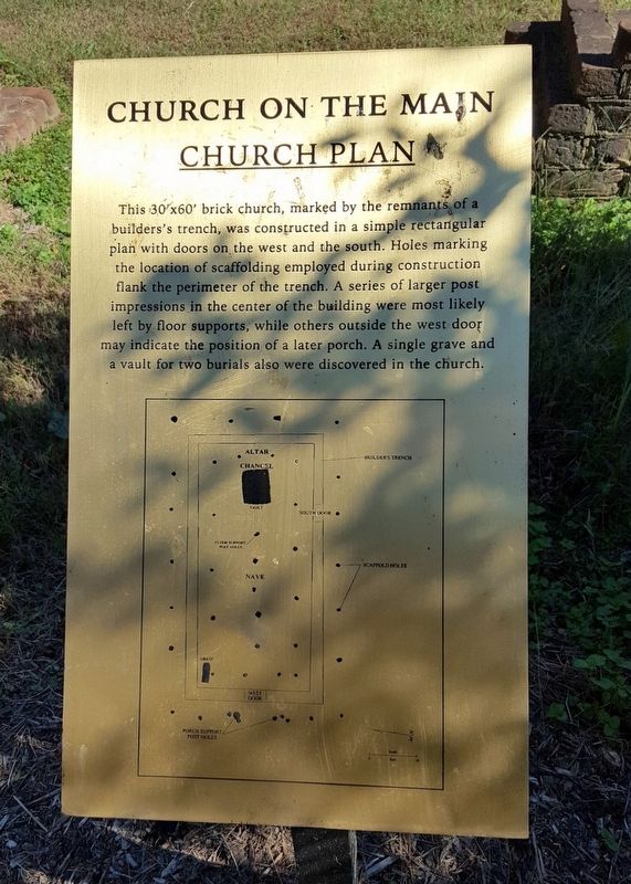
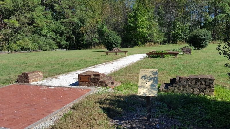
Church On The Main
Church Plan
Topics. This historical marker is listed in these topic lists: Cemeteries & Burial Sites • Churches & Religion • Colonial Era.
Location. 37° 14.278′ N, 76° 46.502′ W. Marker is near Williamsburg, Virginia, in James City County. Marker can be reached from Sir Gilbert Loop north of Prince Trevor Drive, on the right when traveling north. Touch for map. Marker is in this post office area: Williamsburg VA 23185, United States of America. Touch for directions.
Other nearby markers. At least 8 other markers are within walking distance of this marker. Battle of Green Spring Memorial (a few steps from this marker); a different marker also named Church On The Main (within shouting distance of this marker); a different marker also named Church On The Main (within shouting distance of this marker); John Smith Explores the Chesapeake (approx. 0.4 miles away); Battle of Green Spring (approx. 0.6 miles away); Governor’s Land (approx. 0.6 miles away); Green Spring Road (approx. 0.6 miles away); Church on the Main (approx. 0.6 miles away). Touch for a list and map of all markers in Williamsburg.
Credits. This page was last revised on October 24, 2016. It was originally submitted on October 24, 2016, by Bernard Fisher of Richmond, Virginia. This page has been viewed 258 times since then and 17 times this year. Photos: 1, 2. submitted on October 24, 2016, by Bernard Fisher of Richmond, Virginia.

