Millersville in Anne Arundel County, Maryland — The American Northeast (Mid-Atlantic)
Kinder Farmhouse Project
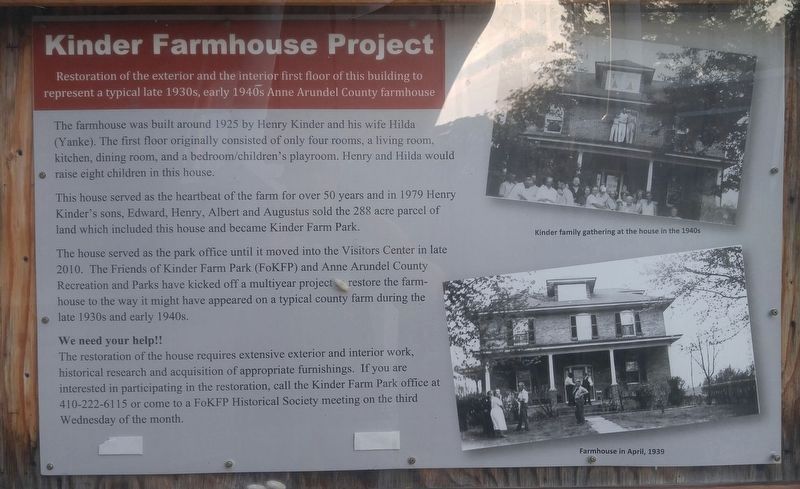
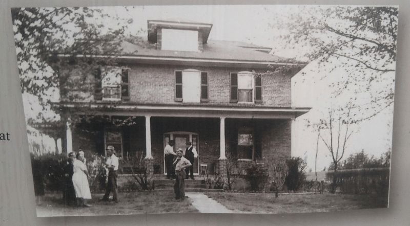
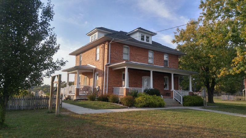
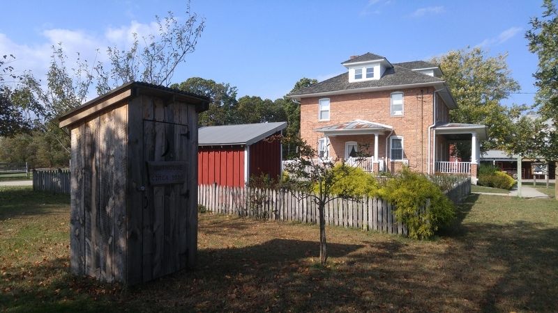
Restoration of the exterior and the interior first floor of this building to represent a typical late 1930s, early 1940s Anne Arundel County farmhouse.
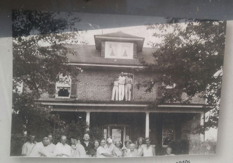
The farmhouse was built around 1925 by Henry Kinder and his wife Hilda (Yanke). The first floor originally consisted of only four rooms, a living room, kitchen, dining room, and a bedroom/children's playroom. Henry and Hilda would raise eight children in this house.
This house served as the heartbeat of the farm for over 50 years and in 1979 Henry Kinder's sons, Edward, Henry, Albert, and Augustus sold the 288 acre parcel of land which included this house and became Kinder Farm Park.
The house served as the park office until it moved into the Visitors Center in late 2010. The Friends of Kinder Farm Park (FoKFP) and Anne Arundel County Recreation and Parks have kicked off a multi-year project to restore the farmhouse to the way it might have appeared on a typical county farm during the late 1930s and early 1940s.
We need your help!!
The restoration of the house requires extensive exterior and interior work, historical research and acquisition of appropriate furnishings. If you are interested in participating in the restoration, call the Kinder Farm Park office at 410-222-6115 or come to a FoKFP Historical Society meeting on the third Wednesday of the month.
Topics. This historical marker is listed in these topic lists: Agriculture • Architecture • Settlements & Settlers. A significant historical year for this entry is 1925.
Location. This marker has been replaced by another marker nearby. It was located near 39° 5.96′ N, 76° 35.015′ W. Marker was in Millersville, Maryland, in Anne Arundel County. Marker could be reached from Kinder Farm Park Road, 0.4 miles west of Jumpers Hole Road when traveling west. Marker is within the fee-are of Kinder Farm Park, about 1 tenth of a mile west of the Visitors Center. Touch for map. Marker was in this post office area: Millersville MD 21108, United States of America. Touch for directions.
Other nearby markers. At least 8 other markers are within 2 miles of this location, measured as the crow flies. The Kinder Farmhouse (here, next to this marker); Kinder Farm Ice House (within shouting distance of this marker); Sawmill (about 400 feet away, measured in a direct line); Tobacco Barn (about 500 feet away); Earleigh Heights Store (approx. ¾ mile away); Frost's Store and Post Office (approx. 0.8 miles away); Governor William Stone (approx. 1.6 miles away); Shipley’s Choice (approx. 2 miles away). Touch for a list and map of all markers in Millersville.
Related marker. Click here for another marker that is related to this marker. This marker has been replaced
by the linked marker.
Credits. This page was last revised on August 28, 2020. It was originally submitted on October 24, 2016, by F. Robby of Baltimore, Maryland. This page has been viewed 525 times since then and 45 times this year. Photos: 1, 2, 3, 4, 5, 6. submitted on October 24, 2016, by F. Robby of Baltimore, Maryland.
