Commerce Township in Commerce Charter Township in Oakland County, Michigan — The American Midwest (Great Lakes)
Commerce Village Burying Ground
Side 1
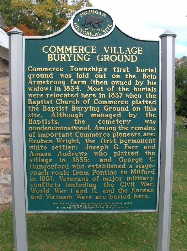
Commerce Township's first burial ground was laid out on the Bela Armstrong farm (then owned by his widow) in 1834. Most of the burials were relocated here in 1837 when the Baptist Church of Commerce platted the Baptist Burying Ground on this site. Although managed by the Baptists, the cemetery was nondenominational. Among the remains of important Commerce pioneers are: Reuben Wright, the first permanent white settler; Joseph G. Farr and Amasa Andrews who platted the village in 1835; and George C. Hungerford who established a stagecoach route from Pontiac to Milford in 1851. Veterans of major military conflicts including the Civil War, World War I and II, and the Korean and Vietnam Wars are buried here.
Side 2
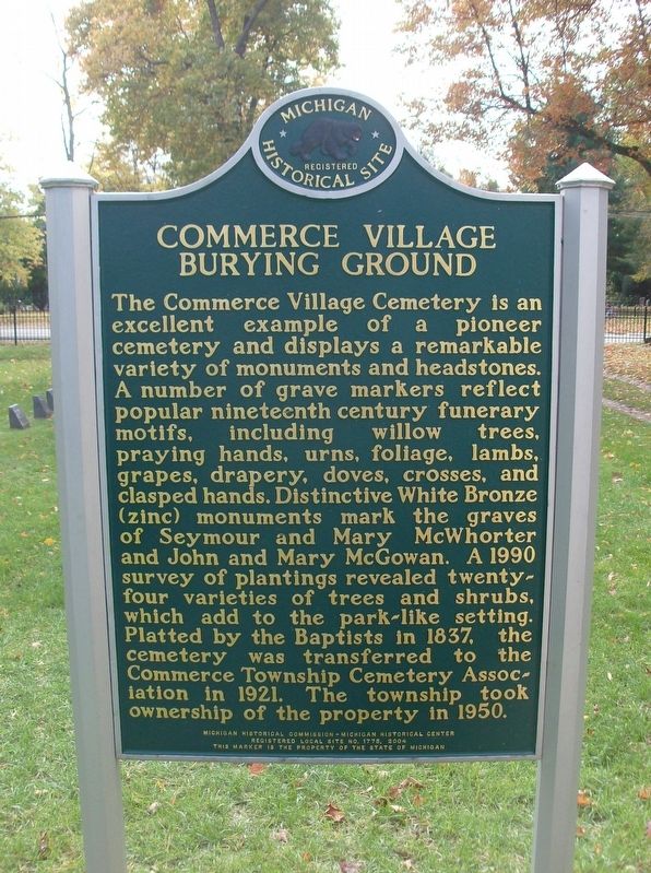
The Commerce Village Cemetery is an excellent example of a pioneer cemetery and displays a remarkable variety of monuments and headstones. A number of grave markers reflect popular nineteenth century funerary motifs, including willow trees, praying hands, urns, foliage, lambs, grapes, drapery, doves, crosses, and clasped hands. Distinctive White Bronze (zinc) monuments mark the graves of Seymour and Mary McWhorter and John and Mary McGowan. A 1990 survey of plantings revealed twenty-four varieties of trees and shrubs, which add to the park-like setting. Platted by the Baptists in 1837, the cemetery was transferred to the Commerce Township Cemetery Association in 1921. The township took ownership of the property in 1950.
Erected 2004 by Michigan Historical Commission-Michigan Historical Center. (Marker Number L1775.)
Topics and series. This historical marker is listed in these topic lists: Cemeteries & Burial Sites • Settlements & Settlers. In addition, it is included in the Michigan Historical Commission series list. A significant historical year for this entry is 1834.
Location. 42° 35.505′ N, 83° 28.544′ W. Marker is in Commerce Charter Township, Michigan, in Oakland County. It is in Commerce Township. Marker is on Commerce Road, 0.3 miles east of Carroll Lake Road/South Commerce Road, on the left when traveling east. Touch for map. Marker is in this post office area: Commerce Township MI 48382, United States of America. Touch for directions.
Other nearby markers. At least 8 other markers are within 3 miles of this marker, measured as the crow flies. Commerce Roller Mill (approx. half a mile away); Commerce United Methodist Congregation / Commerce United Methodist Church (approx. 0.8 miles away); Wolverine Lake (approx. 2.1 miles away); Sharing the Ride (approx. 2.4 miles away); Westacres Community (approx. 2.4 miles away); Westacres (approx. 2.4 miles away); St. Patrick Church (approx. 2.7 miles away); Hathaway-Hess Farm (approx. 3 miles away). Touch for a list and map of all markers in Commerce Charter Township.
Also see . . . Commerce Village Burying Ground. Find A Grave website entry:
Pictures of the graves of most of the people mentioned on the historical marker can be found on the Find A Grave website. (Submitted on October 26, 2016, by Joel Seewald of Madison Heights, Michigan.)
Credits. This page was last revised on October 26, 2023. It was originally submitted on October 26, 2016, by Joel Seewald of Madison Heights, Michigan. This page has been viewed 828 times since then and 71 times this year. Photos: 1, 2, 3. submitted on October 26, 2016, by Joel Seewald of Madison Heights, Michigan.


