Melchor de Mencos, Petén, Guatemala — Central America
Intersection of the Eastern and Quarry Causeways
(Calzada Este y Calzada Lincoln)
Inscription.
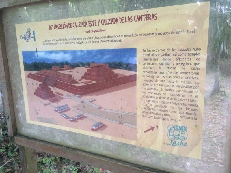
Intersección de Calzada Este y Calzada de las Canteras
(Calzada Este y Calzada Lincoln)
La zona de intersección de las calzadas forma una amplia plaza donde desembocó el mayor flujo de personas y recursos de Yaxhá. En el extremo norte de la plaza sobresale la Acrópolis de los Tucanes (Acrópolis Noreste).
En los extremos de las calzadas hubo terminales ó garitas, así cómo templos piramidales donde oficiantes de ceremonias sagradas y peregrinos que visitaban la ciudad de Yaxhá depositaban sus ofrendas dedicatorias al pié de los estelas conmemorativos. Después de una victoria militar, los gobernantes también solían desfilar por las calzadas. Es posible que algunos de los visitantes se hospedaron en el conjunto residencial de la Calzada Este. El complejo arquitectónico relacionado con la Acrópolis de los Tucanes (Acrópolis Noreste) tuvo una función administrativa y ritual, similar a la que tuvo la Acrópolis Este.
The area of intersection of the causeways forms a large plaza which saw the majority of the flow of people and resources into Yaxhá. At the north end of the plaza stands the Acropolis of the Toucans (the Northeast Acropolis).
At the ends of the roads there were terminals or sentry boxes and also pyramidal temples where sacred ceremonies were held and pilgrims visiting the city of Yaxhá deposited their dedicatory offerings at the foot of the commemorative stelas. After a military victory, the rulers also paraded along the causeways. Some of the visitors stayed in the residential complex of the East Causeway. The architectural complex associated with the Acropolis of the Toucans (Northeast Acropolis) had an administrative and ritual function, similar to that of the Eastern Acropolis.
Topics. This historical marker is listed in these topic lists: Anthropology & Archaeology • Man-Made Features • Native Americans • Roads & Vehicles.
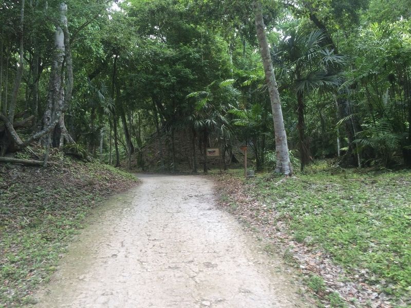
Location. 17° 4.39′ N, 89° 24.094′ W. Marker is in Melchor de Mencos, Petén. The marker is at the intersection of the Calzada Lincoln and Calzada Este at the Yaxhá Archaeological Park entrance. The park is some 5 kilometers north of the village of El Zapote, turning from the CA13 road. Touch for map. Marker is in this post office area: Melchor de Mencos, Petén 17011, Guatemala. Touch for directions.
Other nearby markers. At least 8 other markers are within walking distance of this marker. Sacrificial Pyramid (about 90 meters away, measured in a direct line); The Palace's Ballgame (about 120 meters away); East Causeway Residential Zone
(about 150 meters away); The Quarry Causeway (about 180 meters away); The Plaza of the Birds (about 210 meters away); Plaza of the Columns (approx. 0.3 kilometers away); The North Acropolis at Yaxhá (approx. 0.3 kilometers away); The Eastern Acropolis of Yaxhá (approx. 0.4 kilometers away). Touch for a list and map of all markers in Melchor de Mencos.
Credits. This page was last revised on March 2, 2018. It was originally submitted on October 26, 2016, by J. Makali Bruton of Accra, Ghana. This page has been viewed 248 times since then and 5 times this year. Photos: 1, 2. submitted on October 26, 2016, by J. Makali Bruton of Accra, Ghana.

