Tucker in DeKalb County, Georgia — The American South (South Atlantic)
Browning's Court House
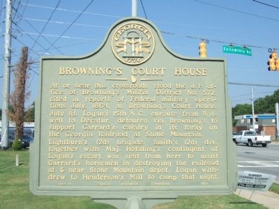
At or near this crossroads stood the J.P. office of Browning’s Militia District No. 572; cited in reports of Federal military operations July, 1864, as Browning’s Court House. July 18. Logan’s 15th A.C., enroute from Roswell to Decatur, detoured via Browning’s to support Garrard’s cavalry in its foray on the Georgia Railroad at Stone Mountain.
Lightburn’s (2d) brigade, Smith’s (2d) div., together with Maj. Hotaling’s contingent of Logan’s escort was sent from here to assist Garrard’s horsemen in destroying the railroad at & near Stone Mountain depot. Logan withdrew to Henderson’s Mill to camp that night.
Erected 1954 by Georgia Historical Commission. (Marker Number 044-14.)
Topics and series. This historical marker is listed in this topic list: War, US Civil. In addition, it is included in the Georgia Historical Society series list. A significant historical year for this entry is 1864.
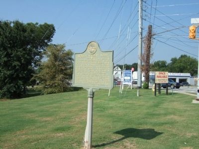
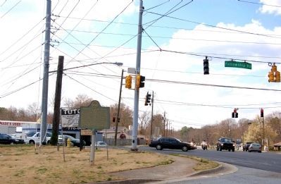
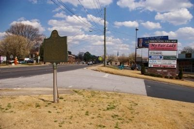
Location. 33° 51.278′ N, 84° 13.019′ W. Marker is in Tucker, Georgia, in DeKalb County. Marker is on LaVista Road (State Road 8) 0.1 miles east of Fellowship Road, on the left when traveling west. Touch for map. Marker is in this post office area: Tucker GA 30084, United States of America. Touch for directions.
Other nearby markers. At least 8 other markers are within 4 miles of this marker, measured as the crow flies. Garrard & Lightburn to Stone Mountain (approx. 0.3 miles away); Logan’s Corps Moves to Henderson’s Mill (approx. 0.7 miles away); Logan’s 15th Corps & Garrard’s Cavalry (approx. 1.8 miles away); Site: Henderson’s Mill (approx. 2.1 miles away); The March to Decatur (approx. 2.3 miles away); Logan's 15th & Blair's 17th A.C. to Decatur (approx. 2.4 miles away); Federal Left Wing to Decatur (approx. 3 miles away); Dodge's & Blair's Columns Separate (approx. 3.7 miles away). Touch for a list and map of all markers in Tucker.
Credits. This page was last revised on June 8, 2020. It was originally submitted on August 4, 2008, by Felch Dumas of Decatur, Georgia. This page has been viewed 1,494 times since then and 27 times this year. Photos: 1, 2. submitted on August 4, 2008, by Felch Dumas of Decatur, Georgia. 3, 4. submitted on April 21, 2010, by David Seibert of Sandy Springs, Georgia. • Craig Swain was the editor who published this page.


