Chiriaco Summit in Riverside County, California — The American West (Pacific Coastal)
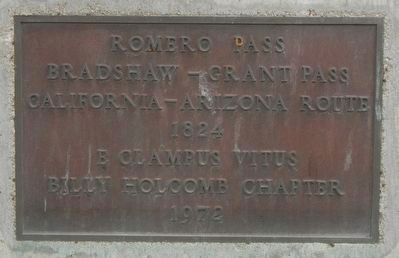
Romero Pass
Bradshaw-Grant Pass
1824
Erected 1972 by E Clampus Vitus, Billy Holcomb Chapter.
Topics and series. This historical marker is listed in these topic lists: Natural Features • Roads & Vehicles. In addition, it is included in the E Clampus Vitus series list.
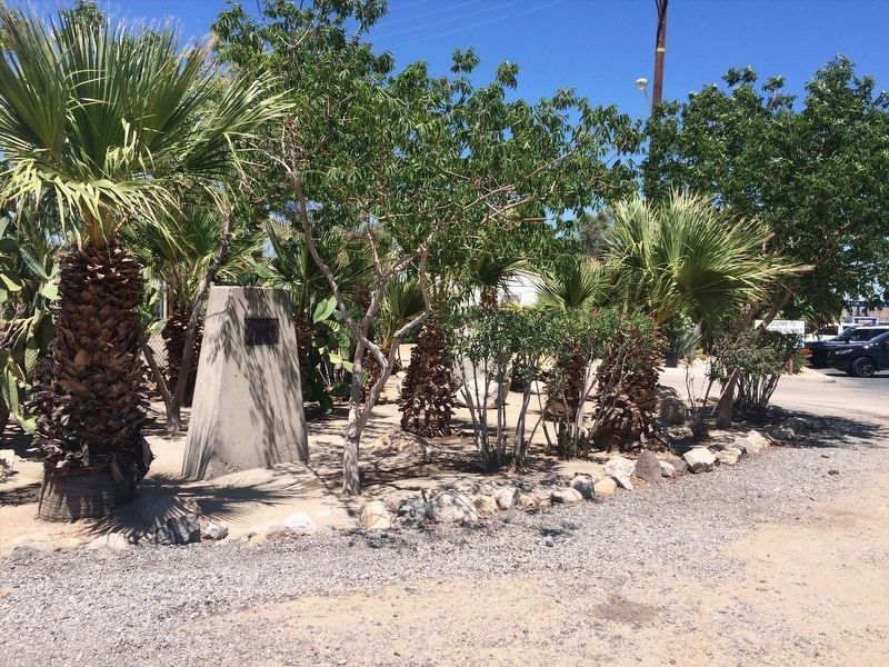
Location. 33° 39.66′ N, 115° 43.308′ W. Marker is in Chiriaco Summit, California, in Riverside County. Marker is on Chiriaco Road near Summit Road, on the right when traveling west. Touch for map. Marker is at or near this postal address: 62434 Chiriaco Road, Indio CA 92201, United States of America. Touch for directions.
Other nearby markers. At least 8 other markers are within walking distance of this marker. Site of Contractors General Hospital (here, next to this marker); Catapults (a few steps from this marker); Scythed Chariots (a few steps from this marker); Cannons (within shouting distance of this marker); 33-barreled Organs (within shouting distance of this marker); The Chiriaco Family (within shouting distance of this marker); Coachella Valley Recipients (about 400 feet away, measured in a direct line); The Desert Training Center (about 400 feet away). Touch for a list and map of all markers in Chiriaco Summit.
More about this marker. This marker is located near the General George S. Patton Museum.
Regarding Romero Pass. "Markers of the Bradshaw Road: The Bradshaw Road was a passage between the Colorado Rive and the Coachella Valley. Only two unconnected, unpaved pieces of the road remain. The easternmost extends twenty miles west fro the end of 30th Avenue in the Palo Verde Valley. The other follows the Salt Creek Wash north of the Chocolate Mountains. At Wiley Well, named for the storekeeper and postmaster A. P Wiley, nine miles west of Blythe at the junction at the junction of Bradshaw Trail and Wiley Well Road, E Clampus Vitus has placed a commemorative plaque. Another point marked by the society is at Shaver's Well, on Box Canyon Road. A third site commemorated by the Clampers is at Chiriaco Summit on I-10, a point also known as Romero Pass and as Bradshaw-Grant Pass." -- Historic Spots in California, Riverside County
Credits. This page was last revised on February 19, 2022. It was originally submitted on October 31, 2016, by Barry Swackhamer of Brentwood, California. This page has been viewed 466 times since then and 21 times this year. Photos: 1. submitted on October 31, 2016, by Barry Swackhamer of Brentwood, California. 2. submitted on February 16, 2022, by Adam Margolis of Mission Viejo, California.

