Marker Logo HMdb.org THE HISTORICAL
MARKER DATABASE
“Bite-Size Bits of Local, National, and Global History”
Cottage Grove in Lane County, Oregon — The American West (Northwest)
 

The Centennial Bridge


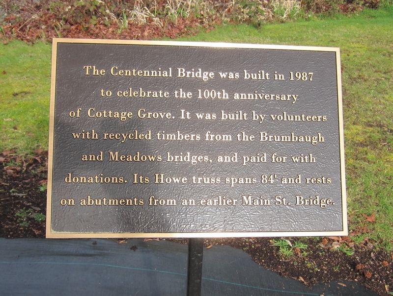
The Centennial Bridge Marker image. Click for full size.
Photographed By Andrew Ruppenstein, February 20, 2016
1. The Centennial Bridge Marker
Inscription. The Centennial Bridge was built in 1987 to celebrate the 100th anniversary of Cottage Grove. It was built by volunteers with recycled timbers from the Brumbaugh and Meadows bridges, and paid for with donations. Its Howe truss spans 84' and rests on abutments from an earlier Main St. Bridge.
 
Topics. This historical marker is listed in this topic list: Bridges & Viaducts.
 
Location. 43° 47.843′ N, 123° 3.86′ W. Marker is in Cottage Grove, Oregon, in Lane County. Marker can be reached from the intersection of East Main Street and North River Road. Touch for map. Marker is in this post office area: Cottage Grove OR 97424, United States of America. Touch for directions.
 
Other nearby markers. At least 8 other markers are within 14 miles of this marker, measured as the crow flies. Crossing the Calapooya Mountains (within shouting distance of this marker); The Changing Trail to Oregon (within shouting distance of this marker); A Trail by Any Other Name (within shouting distance of this marker); The Applegate Trail - Southern Route to Oregon (within shouting distance of this marker); River Road (within shouting distance of this marker); Cottage Grove Historical Museum (about 700 feet away, measured in a direct line); Elijah Bristow (approx. 13.4 miles away); Bristow Monument (approx. 13.4 miles away). Touch for a list and map of all markers in Cottage Grove.
 
Paid Advertisement
Click on the ad for more information.
Please report objectionable advertising to the Editor.
Click or scan to see
this page online
The Centennial Bridge and Marker - East End of Bridge image. Click for full size.
Photographed By Andrew Ruppenstein, February 20, 2016
2. The Centennial Bridge and Marker - East End of Bridge
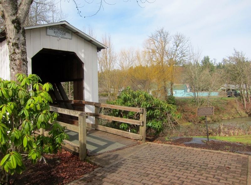
The marker is visible here on the right, at the east end of the bridge.
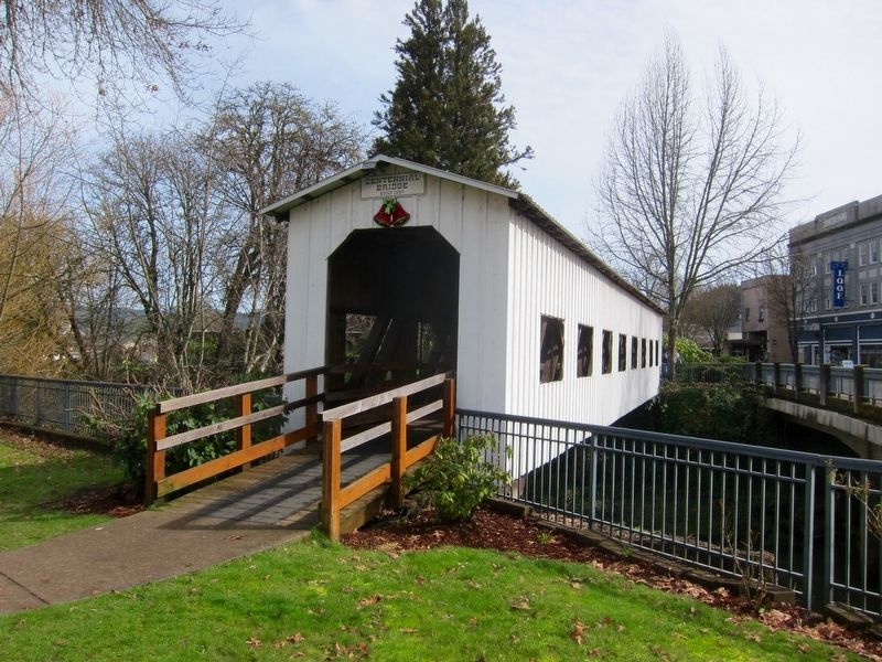
The Centennial Bridge - West End of Bridge image. Click for full size.
Photographed By Andrew Ruppenstein, February 20, 2016
3. The Centennial Bridge - West End of Bridge
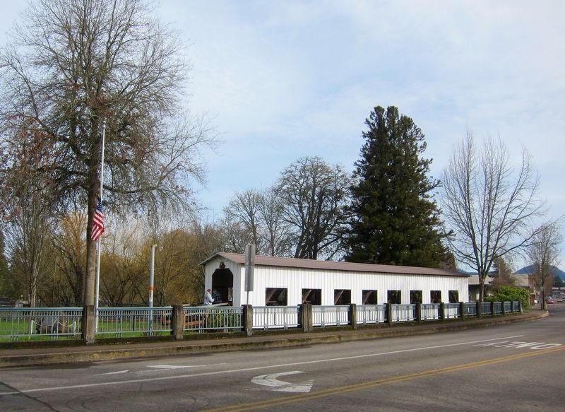
The Centennial Bridge image. Click for full size.
Photographed By Andrew Ruppenstein, February 20, 2016
4. The Centennial Bridge
 
 
Credits. This page was last revised on October 19, 2020. It was originally submitted on November 1, 2016, by Andrew Ruppenstein of Lamorinda, California. This page has been viewed 260 times since then and 14 times this year. Photos:   1, 2, 3, 4. submitted on November 1, 2016, by Andrew Ruppenstein of Lamorinda, California.
Share this page.  
Share on Tumblr
m=99285

CeraNet Cloud Computing sponsors the Historical Marker Database.
This website earns income from purchases you make after using our links to Amazon.com. We appreciate your support.
Paid Advertisement
Apr. 25, 2024