Thurmont in Frederick County, Maryland — The American Northeast (Mid-Atlantic)
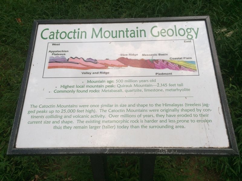
Catoctin Mountain Geology
· Highest local mountain peak: Quirauk Mountain - 2,145 feet tall
· Commonly found rocks: Metabasalt, quartzite, limestone, metarhyolite
The Catoctin Mountains were once similar in size and shape to the Himalayas (treeless jagged peaks up to 25,000 feet high). The Catoctin Mountains were originally shaped by continents colliding and volcanic activity. Over millions of years, they have eroded to their current size and shape. The existing metamorphic rock is harder and less prone to erosion thus they remain larger (taller) today than the surrounding area.
Topics. This historical marker is listed in this topic list: Natural Features.
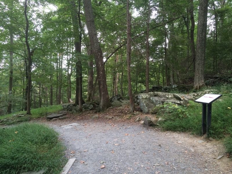
Location. 39° 37.803′ N, 77° 27.995′ W. Marker is in Thurmont, Maryland, in Frederick County. The marker is about 1 mile west of the northern parking lot area for Hunting Creek Lake on the Lower Trail - Red Blaze to the Cunningham Falls. Touch for map. Marker is in this post office area: Thurmont MD 21788, United States of America. Touch for directions.
Other nearby markers. At least 8 other markers are within 2 miles of this marker, measured as the crow flies. Second Growth Forest (about 400 feet away, measured in a direct line); Blue Blazes Whiskey Trail (approx. 0.9 miles away); A Tradition of Conservation (approx. 0.9 miles away); A Fatal Shootout (approx. one mile away); Blue Blazes Still (approx. 1.1 miles away); Making Whiskey (approx. 1.3 miles away); Preparing the Hearth (approx. 1˝ miles away); Making Charcoal (approx. 1.6 miles away). Touch for a list and map of all markers in Thurmont.
Credits. This page was last revised on November 11, 2016. It was originally submitted on November 4, 2016, by J. Makali Bruton of Accra, Ghana. This page has been viewed 550 times since then and 28 times this year. Photos: 1, 2. submitted on November 4, 2016, by J. Makali Bruton of Accra, Ghana.

