Rock Creek Park in Northwest Washington in Washington, District of Columbia — The American Northeast (Mid-Atlantic)
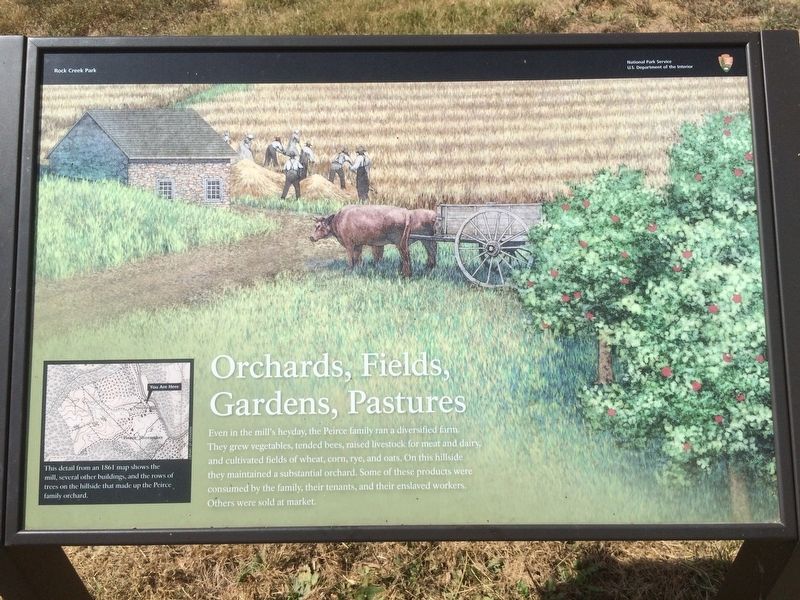
Orchards, Fields, Gardens, Pastures
Rock Creek Park
— National Park Service, U.S. Department of the Interior —
Even in the mill's heyday, the Peirce family ran a diversified farm. They grew vegetables, tended bees, raised livestock for meat and dairy and cultivated fields of wheat, corn, rye, and oats. On this hillside they maintained a substantial orchard. Some of these products were consumed by the family, their tenants, and their enslaved workers. Others were sold at market.
[Captions:]
Erected by National Park Service, U.S. Department of the Interior.
Topics. This historical marker is listed in these topic lists: African Americans • Agriculture • Horticulture & Forestry • Industry & Commerce. A significant historical year for this entry is 1861.
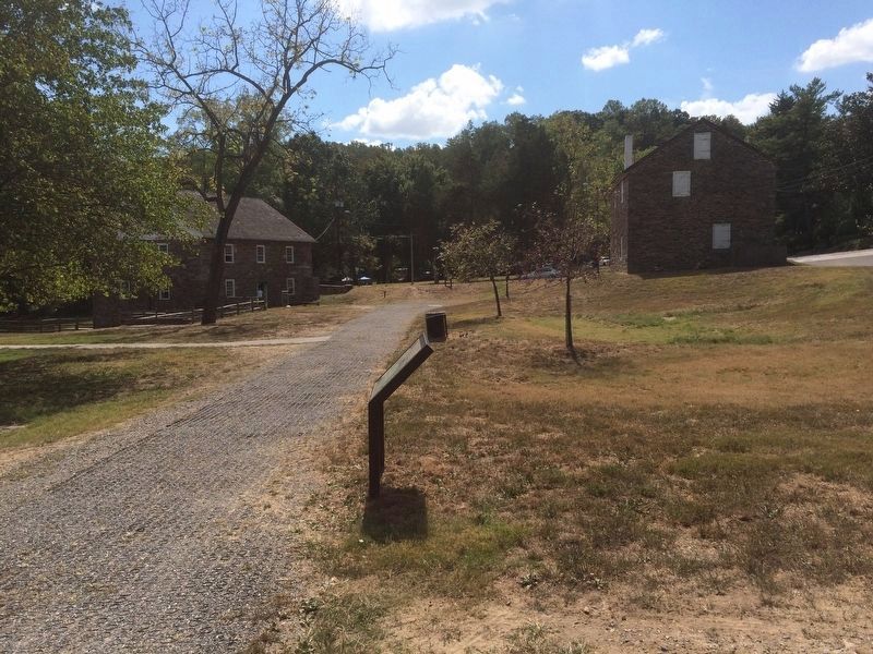
Location. 38° 56.451′ N, 77° 3.11′ W. Marker is in Northwest Washington in Washington, District of Columbia. It is in Rock Creek Park. Marker can be reached from Tilden Street Northwest west of Beach Drive Northwest, on the right when traveling west. The marker is near the intersection of Tilden and Shoemaker Streets, NW, along a walking trail some yards to the north of the Peirce Mill. Touch for map. Marker is at or near this postal address: 2401 Tilden Street Northwest, Washington DC 20008, United States of America. Touch for directions.
Other nearby markers. At least 8 other markers are within walking distance of this marker. Pierce Plantation (within shouting distance of this marker); Rock Creek's Mills (within shouting distance of this marker); Machine in a Stone Box (within shouting distance of this marker); The Peirce Family Estate (within shouting distance of this marker); Herring Highway (within shouting distance of this marker); Peirce Still House (about 300 feet away, measured in a direct line); Springhouse (about 400 feet away); Peirce Mill (about 600 feet away). Touch for a list and map of all markers in Northwest Washington.
Credits. This page was last revised on January 30, 2023. It was originally submitted on November 6, 2016, by J. Makali Bruton of Accra, Ghana. This page has been viewed 290 times since then and 9 times this year. Photos: 1, 2. submitted on November 6, 2016, by J. Makali Bruton of Accra, Ghana.

