Batavia in Clermont County, Ohio — The American Midwest (Great Lakes)
Anderson State Road
1804
— Clermont County Bicentennial Marker —
Inscription.
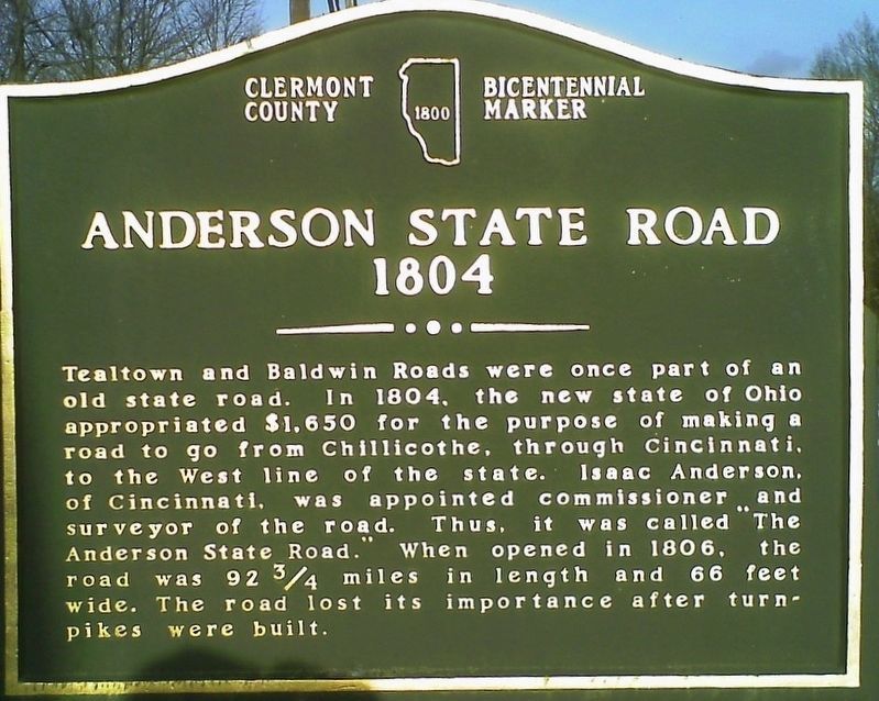
Tealtown and Baldwin Roads were once part of an
old state road. In 1804, the new state of Ohio
appropriated $1,650 for the purpose of making a
road to go from Chillicothe through Cincinnati,
to the West line of the state. Isaac Anderson,
of Cincinnati, was appointed commissioner and
surveyor of the road. Thus, it was called “The
Anderson State Road.” When opened in 1806, the
road was 92 ¾ miles in length and 66 feet
wide. The road lost its importance after turn-
pikes were built.
Erected 2003 by Clermont County BiCentennial Commission.
Topics. This historical marker is listed in this topic list: Roads & Vehicles.
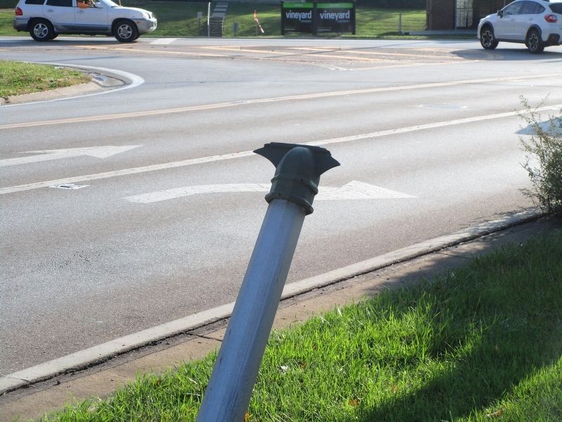
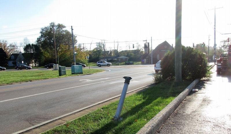
Location. Marker has been reported missing. It was located near 39° 5.955′ N, 84° 15.458′ W. Marker was in Batavia, Ohio, in Clermont County. Marker was on Tealtown Road near Tealtown Road, in the median. marker wass in the median of the Exxon Station parking lot. Touch for map. Marker was at or near this postal address: 1006 Old State Route 74, Batavia OH 45103, United States of America. Touch for directions.
Other nearby markers. At least 8 other markers are within 5 miles of this location, measured as the crow flies. Lake Allyn Site (approx. 2.3 miles away); Mt. Moriah World War II Memorial (approx. 2.8 miles away); The Walk of Veterans (approx. 2.8 miles away); Mt. Moriah Cemetery (approx. 2.8 miles away); Chapel — Mt. Moriah (approx. 2.8 miles away); St. Philomena Church (approx. 4.3 miles away); Stonelick Covered Bridge (approx. 4.4 miles away); Batavia Vietnam War Memorial (approx. 4.6 miles away). Touch for a list and map of all markers in Batavia.
Credits. This page was last revised on August 28, 2022. It was originally submitted on November 9, 2016, by Rev. Ronald Irick of West Liberty, Ohio. This page has been viewed 488 times since then and 47 times this year. Photos: 1, 2, 3. submitted on November 9, 2016, by Rev. Ronald Irick of West Liberty, Ohio. • Bill Pfingsten was the editor who published this page.


