Cherry Hill Village in Canton in Wayne County, Michigan — The American Midwest (Great Lakes)
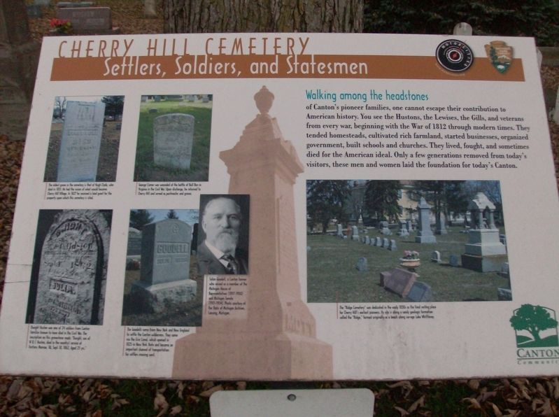
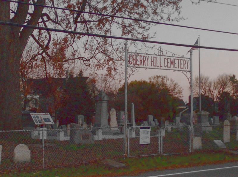
Cherry Hill Cemetery
Settlers, Soldiers, and Statesmen
Inscription.
Walking among the headstones
of Canton's pioneer families, one cannot escape their contribution to American history. You see the Hustons, the Lewises, the Gills, and veterans from every war, beginning with the War of 1812 through modern times. They tended homesteads, cultivated rich farmland, started businesses, organized government, built schools and churches. They lived, fought, and sometimes died for the American ideal. Only a few generations removed from today's visitors, these men and women laid the foundation for today's Canton.
Erected by Motorcities National Heritage Area, National Park Service and Canton Community.
Topics and series. This historical marker is listed in this topic list: Cemeteries & Burial Sites. In addition, it is included in the MotorCities National Heritage Area series list. A significant historical year for this entry is 1812.
Location. 42° 18.307′ N, 83° 32.291′ W. Marker is in Canton, Michigan, in Wayne County. It is in Cherry Hill Village. Marker is on South Ridge Road, 0.2 miles south of Cherry Hill Road, on the left when traveling south. Touch for map. Marker is in this post office area: Canton MI 48188, United States of America. Touch for directions.
Other nearby markers. At least 8 other markers are within walking distance of this marker. A different marker also named Cherry Hill Cemetery (here, next to this marker); Cherry Hill Inn (about 300 feet away, measured in a direct line); A Ford Village Industry (about 500 feet away); Cherry Hill United Methodist Church (about 500 feet away); Cherry Hill Village (about 600 feet away); Cherry Hill School (about 600 feet away); Palmer Shed (approx. 0.3 miles away); Farming in Canton (approx. 0.3 miles away). Touch for a list and map of all markers in Canton.
Photographed By Joel Seewald, November 10, 2016
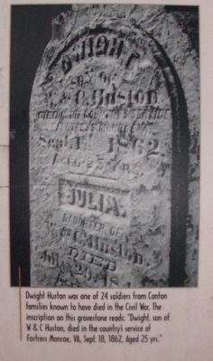
3. Lower left image
Dwight Huston was one of the 24 soldiers from Canton families known to have died in the civil War. The inscription on this gravestone reads: "Dwight, son of W & C Huston, died in the country's service at Fortress Monroe, VA, Sept. 18, 1862. Aged 25 yrs."
Photographed By Joel Seewald, November 10, 2016
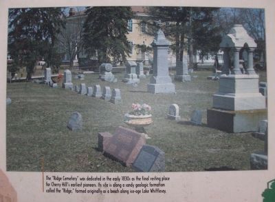
7. Right image
The "Ridge Cemetery" was dedicated in the early 1830s as the final resting place for Cherry Hill's earliest pioneers. Its site is along a sandy geologic formation calle the "Ridge," formed originally as a beach along ice-age Lake Whittlesey.
Credits. This page was last revised on February 12, 2023. It was originally submitted on November 12, 2016, by Joel Seewald of Madison Heights, Michigan. This page has been viewed 785 times since then and 72 times this year. Photos: 1, 2, 3, 4, 5, 6, 7, 8. submitted on November 12, 2016, by Joel Seewald of Madison Heights, Michigan.
