Near Garfield in Benton County, Arkansas — The American South (West South Central)
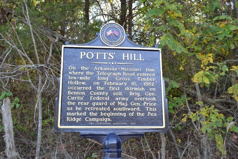
Potts' Hill
Erected 1962 by Pea Ridge Memorial Association.
Topics. This historical marker is listed in this topic list: War, US Civil. A significant historical date for this entry is February 16, 1862.
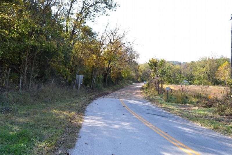
Location. 36° 29.927′ N, 94° 1.45′ W. Marker is near Garfield, Arkansas, in Benton County. Marker is on N. Old Wire Road (County Road 67) 1˝ miles north of Gann Ridge Road, on the right when traveling north. Marker can also be reached from Missouri on Highway DD six miles west of Seligman. Touch for map. Marker is in this post office area: Garfield AR 72732, United States of America. Touch for directions.
Other nearby markers. At least 8 other markers are within 4 miles of this marker, measured as the crow flies. A Long, Cold Hungry March (approx. 2.9 miles away); Hard Fighting Near Leetown (approx. 3.1 miles away); Slaughter in the Rocks (approx. 3.1 miles away); Fiery Finale on Ruddick's Field (approx. 3.1 miles away); It was the Grandest Thing I Ever Saw... (approx. 3.1 miles away); Night Moves (approx. 3.1 miles away); The Butterfield Overland Mail Route (approx. 3.1 miles away); Elkhorn Tavern Taken (approx. 3.2 miles away). Touch for a list and map of all markers in Garfield.
Related markers. Click here for a list of markers that are related to this marker. The list is markers installed by the Pea Ridge Memorial Association from 1962-1964 on the Pea Ridge Campaign.
Also see . . .
1. Pea Ridge National Military Park. National Park Service website entry (Submitted on May 8, 2021, by Larry Gertner of New York, New York.)
2. Pea Ridge (Elkhorn Tavern). American Battlefield Trust website entry (Submitted on May 8, 2021, by Larry Gertner of New York, New York.)
Credits. This page was last revised on May 8, 2021. It was originally submitted on November 17, 2016, by Duane Hall of Abilene, Texas. This page has been viewed 666 times since then and 53 times this year. Photos: 1, 2, 3. submitted on November 17, 2016, by Duane Hall of Abilene, Texas.


