Near Lanagan in McDonald County, Missouri — The American Midwest (Upper Plains)
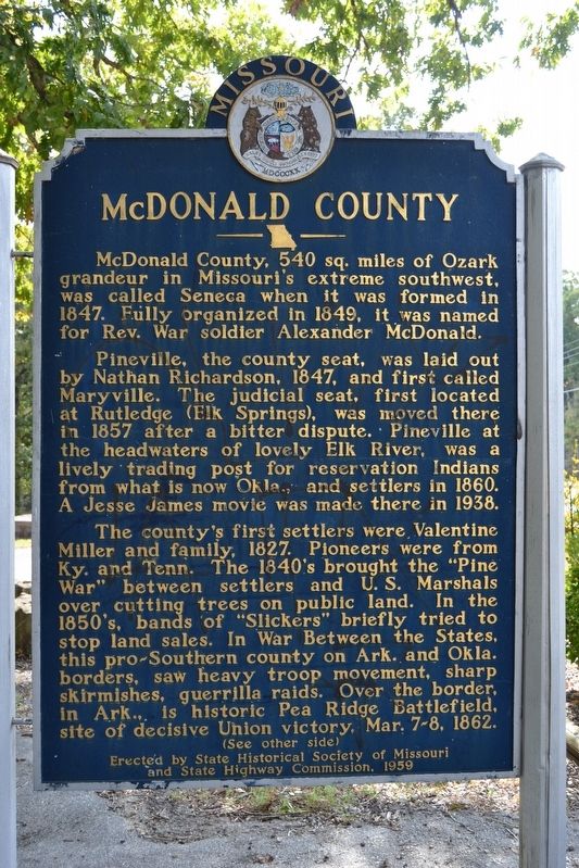
McDonald County
†††††Pineville, the county seat, was laid out by Nathan Richardson, 1847, and first called Maryville. The judicial seat, first located at Rutledge (Elk Springs), was moved there in 1857 after a bitter dispute. Pineville at the headwaters of lovely Elk River, was a lively trading post for reservation Indians from what is now Okla., and settlers in 1860. A Jesse James movie was made there in 1938.
†††††The countyís first settlers were Valentine Miller and family, 1827. Pioneers were from Ky. and Tenn. The 1840ís brought the “Pine War” between settlers and U.S. Marshals over cutting trees on public land. In the 1850ís, bands of “Slickers” briefly tried to stop land sales. In War Between the States, this pro-Southern county on Ark. and Okla. borders, saw heavy troop movement, sharp skirmishes, guerrilla raids. Over the border, in Ark., is historic Pea Ridge Battlefield, site of decisive Union victory, March 7-8, 1862.
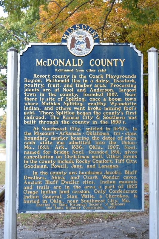
†††††Resort county in the Ozark Playgrounds Region, McDonald lies in a dairy, livestock, poultry, fruit, and timber area. Processing plants are at Noel and Anderson, largest town in the county, founded 1887. Near there is site of Splitlog, once a boom town where Mathias Splitlog, wealthy Wyandotte Indian, and others went broke mining foolís gold. There Splitlog began the countyís first railroad. The Kansas City & Southern was built through the county in the 1890ís.
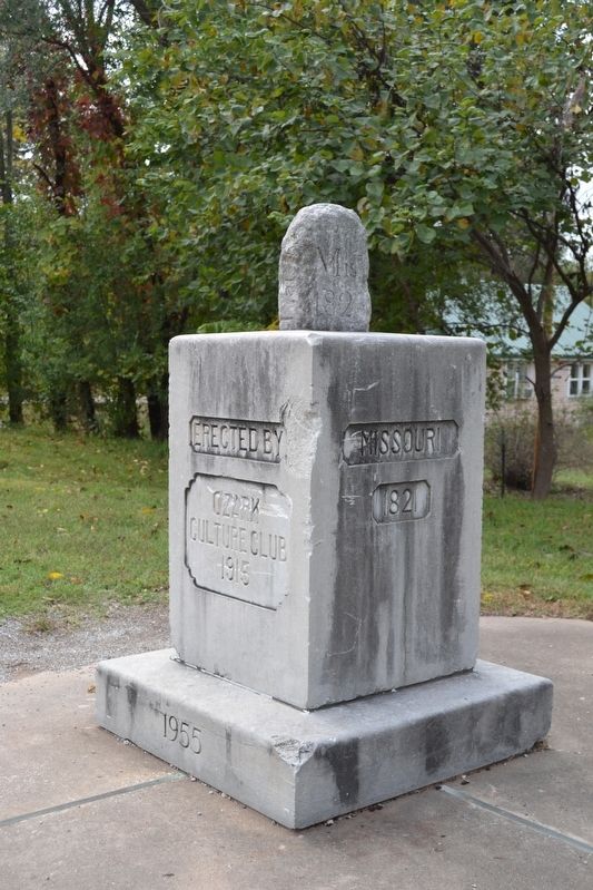
†††††At Southwest City, settled in 1840ís, is the Missouri—Arkansas—Oklahoma tri-state boundary marker bearing the dates of when each state was admitted into the Union: Mo., 1821; Ark., 1836; Okla., 1907. Noel, named for Bridge Noel, founded 1891, gives cancellation on Christmas mail. Other towns in the county include Rocky Comfort, Tiff City, Goodman, Powell, Jane, and Lanagan.
†††††In the county are handsome Jacobís, Bluff Dwellers, Shira, and Ozark Wonder caves. Ancient Bluff Dweller sites, Indian mounds and trails are in the area a part of 1825 Osage Indian land cession. Only Confederate Indian General, Stan Watie, a Cherokee, is buried in Okla., near Southwest City, Mo.
Erected 1959 by State Historical Society of Missouri and State Highway Commission.
Topics and series. This historical marker is listed in this topic list: Settlements & Settlers. In addition, it is included in the Jesse James, and the Missouri, The State Historical Society of series lists. A significant historical year for this entry is 1847.
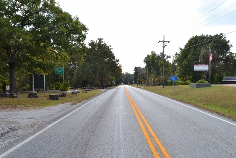
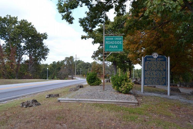
Location. 36° 35.955′ N, 94° 27.354′ W. Marker is near Lanagan, Missouri, in McDonald County. Marker is on State Highway 59, half a mile south of Highway EE, on the left when traveling south. Marker is located at Indian Creek Roadside Park. Touch for map. Marker is in this post office area: Lanagan MO 64847, United States of America. Touch for directions.
Other nearby markers. At least 8 other markers are within 15 miles of this marker, measured as the crow flies. Sulphur Springs Park Reserve (approx. 8.1 miles away in Arkansas); What Mean These Stones? (approx. 8.2 miles away in Arkansas); Stand Watie (approx. 11.2 miles away in Oklahoma); Kansas City Southern Railway Caboose #383 (approx. 12.3 miles away in Arkansas); Arkansas & Oklahoma Railroad (approx. 12.3 miles away in Arkansas); Camp Jackson / Confederate Dead (approx. 13.7 miles away in Arkansas); Georgia Cemetery (approx. 13.7 miles away in Arkansas); Camp Walker (approx. 14Ĺ miles away in Arkansas).
Credits. This page was last revised on November 18, 2016. It was originally submitted on November 18, 2016, by Duane Hall of Abilene, Texas. This page has been viewed 1,014 times since then and 139 times this year. Photos: 1, 2, 3, 4, 5. submitted on November 18, 2016, by Duane Hall of Abilene, Texas.
