Marker Logo HMdb.org THE HISTORICAL
MARKER DATABASE
“Bite-Size Bits of Local, National, and Global History”
Coulee City in Grant County, Washington — The American West (Northwest)
 

Welcome to Grand Coulee Dam


Welcome to Grand Coulee Dam Marker image. Click for full size.
Photographed By Don Morfe, June 22, 1997
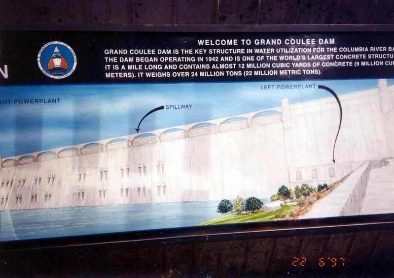
1. Welcome to Grand Coulee Dam Marker
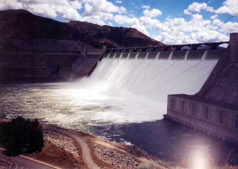
Inscription. Grand Coulee Dam is the key structure in water utilization for the Columbia River Basin. The dam began operation in 1942 and is one of the world’s largest concrete structures. It is a mile long and contains almost 12 million cubic yards of concrete (9 million cubic meters). It weighs over 24 million tons (22 million metric tons).
 
Topics. This historical marker is listed in these topic lists: Charity & Public WorkWaterways & Vessels. A significant historical year for this entry is 1942.
 
Location. 47° 57.612′ N, 118° 59.208′ W. Marker is in Coulee City, Washington, in Grant County. Marker can be reached from State Highway 155, on the right when traveling north. The marker is located near the Grand Coulee Dam Visitor Center. Touch for map. Marker is in this post office area: Coulee City WA 99115, United States of America. Touch for directions.
 
Other nearby markers. At least 5 other markers are within 9 miles of this marker, measured as the crow flies. Grand Coulee Dam (a few steps from this marker); Franklin Delano Roosevelt (a few steps from this marker); a different marker also named Grand Coulee Dam (approx. ¾ mile away); “B” Street (approx. 1.2 miles away); History of the Steamboat Rock Area (approx. 9 miles away).
 
Paid Advertisement
Click on the ad for more information.
Please report objectionable advertising to the Editor.
Click or scan to see
this page online
Grand Coulee Dam image. Click for full size.
Photographed By Don Morfe, June 22, 1997
2. Grand Coulee Dam
Photo on Display - Informational Panel image. Click for full size.
Photographed By Don Morfe, June 22, 1997
3. Photo on Display - Informational Panel
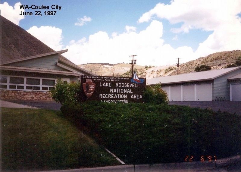
Lake Rooselvelt National Recreation Area Headquarters image. Click for full size.
Photographed By Don Morfe, June 22, 1997
4. Lake Rooselvelt National Recreation Area Headquarters
 
 
Credits. This page was last revised on January 8, 2024. It was originally submitted on November 21, 2016, by Don Morfe of Baltimore, Maryland. This page has been viewed 332 times since then and 15 times this year. Photos:   1, 2, 3, 4. submitted on November 21, 2016, by Don Morfe of Baltimore, Maryland. • Syd Whittle was the editor who published this page.
 
Editor’s want-list for this marker. Full view of the marker. • Wide area view of the marker and its surroundings. • Can you help?
Share this page.  
Share on Tumblr
m=99853

CeraNet Cloud Computing sponsors the Historical Marker Database.
This website earns income from purchases you make after using our links to Amazon.com. We appreciate your support.
Paid Advertisement
Apr. 25, 2024