Lansing in Ingham County, Michigan — The American Midwest (Great Lakes)
Lansing's First Capitol Building / Lansing Becomes the Capital City
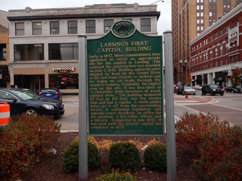
Lansing's First Capitol Building
Early in 1847, three commissioners were appointed to select an appropriate site for the capitol in Lansing. The contract for construction was awarded on June 3, 1847. Building materials were shipped by boat on the Grand River or by rail from Detroit to Jackson and by wagon on cut trails through the woods to Lansing. Gradually, the capitol rose on this site. It was described as "a church-like little structure of wood painted white." The building measured 60 feet by 100 feet, was two stories high and had a cupola. A white picket fence set it off from the surrounding forest. It contained legislative and supreme court chambers, an office for the governor, a few other offices and a library. Completed in late 1847, it was used until the present capitol was completed in 1879.
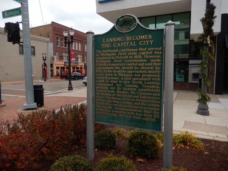
Lansing Becomes the Capital City
The territorial courthouse that served as Michigan's first state capitol was completed in Detroit in 1828. However, Michigan's first constitution made Detroit a temporary capital and said a permanent site should be chosen by 1847. As the deadline approached, nearly every town in Michigan was proposed. James Seymour, a land speculator with a mill in what is now North Lansing, campaigned for Lansing Township, pointing out its locations equidistant from Detroit, Monroe, Mt. Clemens
Erected 1987 by Bureau of History, Michigan Department of State. (Marker Number S587C.)
Topics and series. This historical marker is listed in these topic lists: Roads & Vehicles • Settlements & Settlers • Waterways & Vessels. In addition, it is included in the Michigan Historical Commission series list. A significant historical date for this entry is June 3, 1847.
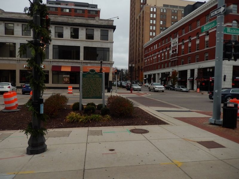
Location. 42° 43.945′ N, 84° 33.13′ W. Marker is in Lansing, Michigan, in Ingham County. Marker is at the intersection of South Washington Square and W. Allegan Street on South Washington Square. Touch for map. Marker is in this post office area: Lansing MI 48933, United States of America. Touch for directions.
Other nearby markers. At least 8 other markers are within walking distance of this marker. Theater District / The Strand (within shouting distance of this marker); Jeff Daniels b. 1955 (within shouting distance of this marker); Helen Thomas B. 1920 (within shouting distance of this marker); Stevie Wonder (within shouting distance of this marker); Rosa Parks 1913-2005 (within shouting distance of this marker); Ernie Harwell (within shouting distance of this marker); Capital Bank Tower (about 400 feet away, measured in a direct line); Freedom Patriotism Humanity (about 500 feet away). Touch for a list and map of all markers in Lansing.
Credits. This page was last revised on January 6, 2020. It was originally submitted on November 25, 2016, by Bill Pfingsten of Bel Air, Maryland. This page has been viewed 403 times since then and 27 times this year. Photos: 1, 2, 3. submitted on November 25, 2016, by Bill Pfingsten of Bel Air, Maryland.


