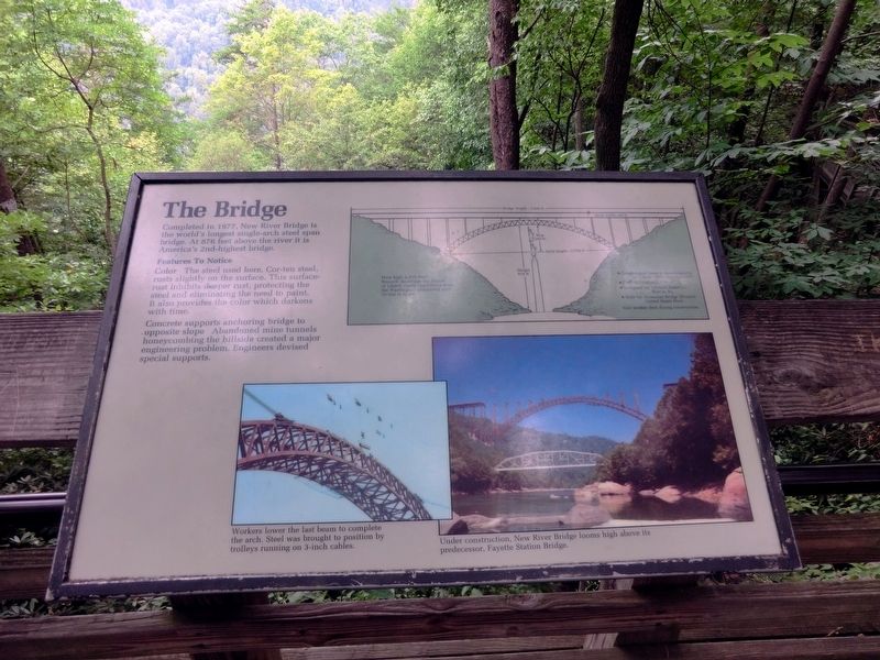
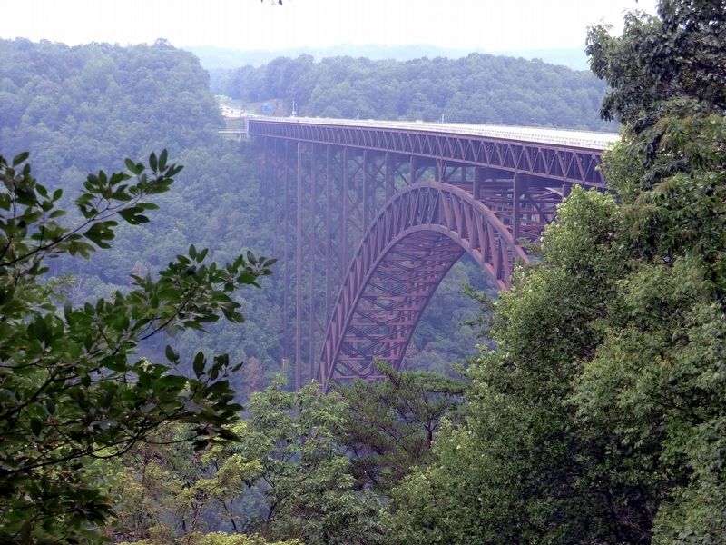
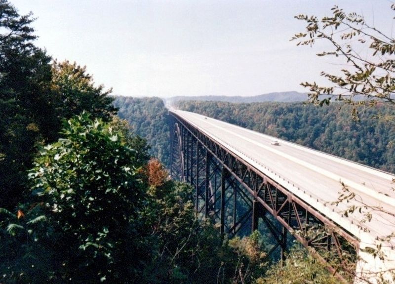
The Bridge
Features to Notice
Color. The steel used here, Cor-ten steel, rusts slightly on the surface. This surface-rust inhibits deeper rust, protecting the steel and eliminating the need to paint. It also provides the color which darkens with time.
Concrete supports anchoring bridge to opposite slope. Abandoned mine tunnels honeycombing the hillside created a major engineering problem. Engineers devised special supports.
(Inscription under the image in the lower left)
Workers lower the last beam to complete the arch. Steel was brought to position by trolleys running on 3-inch cables.
(Inscription under the image in the lower right)
Under construction, New River Bridge looms high above its predecessor, Fayette Station Bridge.
Erected by National Park Service, U.S. Department of the Interior.
Topics. This historical marker is listed in these topic lists: Bridges & Viaducts • Waterways & Vessels. A significant historical year for this entry is 1977.
Location. 38° 4.194′ N, 81° 4.542′ W. Marker is in Lansing, West Virginia, in Fayette County. Marker is on Visitor Center
Other nearby markers. At least 8 other markers are within walking distance of this marker. Trail to Bridge Overlook (here, next to this marker); Industrial Past of the New River Gorge (here, next to this marker); The Deceptive Forest (within shouting distance of this marker); New River (within shouting distance of this marker); Smoke, Coke, Coal, and Kaymoor (within shouting distance of this marker); New River Gorge Scenic Drives (within shouting distance of this marker); Welcome to New River Gorge National River (within shouting distance of this marker); New River Gorge Bridge (about 400 feet away, measured in a direct line). Touch for a list and map of all markers in Lansing.
Credits. This page was last revised on June 14, 2020. It was originally submitted on November 26, 2016, by Don Morfe of Baltimore, Maryland. This page has been viewed 270 times since then and 11 times this year. Photos: 1, 2, 3, 4. submitted on November 26, 2016, by Don Morfe of Baltimore, Maryland. • Bill Pfingsten was the editor who published this page.


