Near Abbeville in Lafayette County, Mississippi — The American South (East South Central)
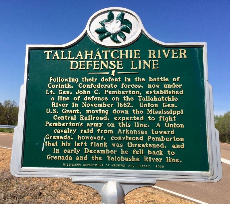
Tallahatchie River Defense Line
Erected 2009 by the Mississippi Department of Archives and History.
Topics and series. This historical marker is listed in these topic lists: Railroads & Streetcars • War, US Civil • Waterways & Vessels. In addition, it is included in the Former U.S. Presidents: #18 Ulysses S. Grant, and the Mississippi State Historical Marker Program series lists. A significant historical month for this entry is November 1862.
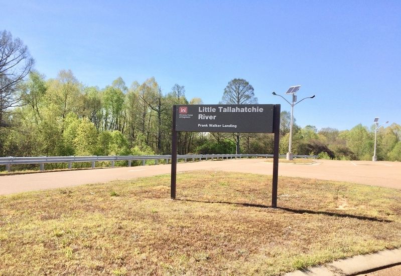
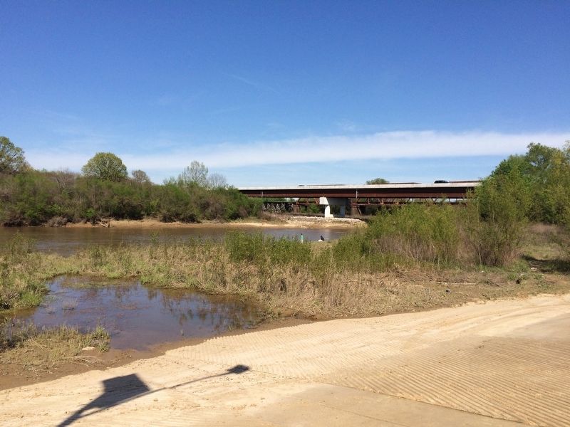
Location. 34° 32.327′ N, 89° 29.635′ W. Marker is near Abbeville, Mississippi, in Lafayette County. Marker is on County Route 7, one mile north of Road 244, on the right when traveling south. Located at the entrance to the Little Tallahatchie River - Frank Walker Landing. Touch for map. Marker is in this post office area: Abbeville MS 38601, United States of America. Touch for directions.
Other nearby markers. At least 8 other markers are within 12 miles of this marker , measured as the crow flies. Abbeville Colored School (approx. 4.6 miles away); College Hill Settlers (approx. 9.1 miles away); College Church (approx. 9.1 miles away); Lafayette Agricultural High School (approx. 9.1 miles away); Lynching in America / The Lynching of Elwood Higginbottom (approx. 10.6 miles away); University Faculty Houses (approx. 11 miles away); Cedar Oaks (approx. 11.2 miles away); L. Q. C. Lamar House (approx. 11.6 miles away).
Related markers. Click here for a list of markers that are related to this marker.
Also see . . . "Grant's Mississippi Central Railroad Campaign and the defense of Vicksburg". (Submitted on April 11, 2017, by Mark Hilton of Montgomery, Alabama.)
Credits. This page was last revised on April 11, 2017. It was originally submitted on April 11, 2017, by Mark Hilton of Montgomery, Alabama. This page has been viewed 900 times since then and 67 times this year. Photos: 1, 2, 3, 4, 5. submitted on April 11, 2017, by Mark Hilton of Montgomery, Alabama.


