University in Lafayette County, Mississippi — The American South (East South Central)
"Dead House"
Inscription.
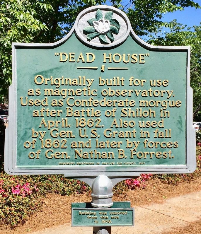
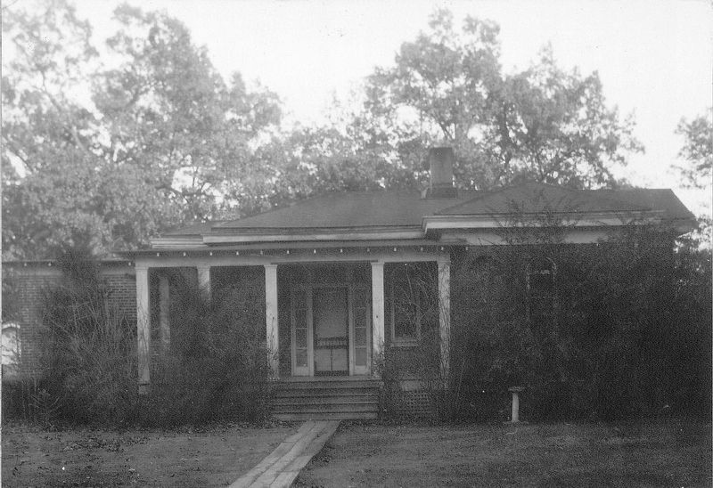
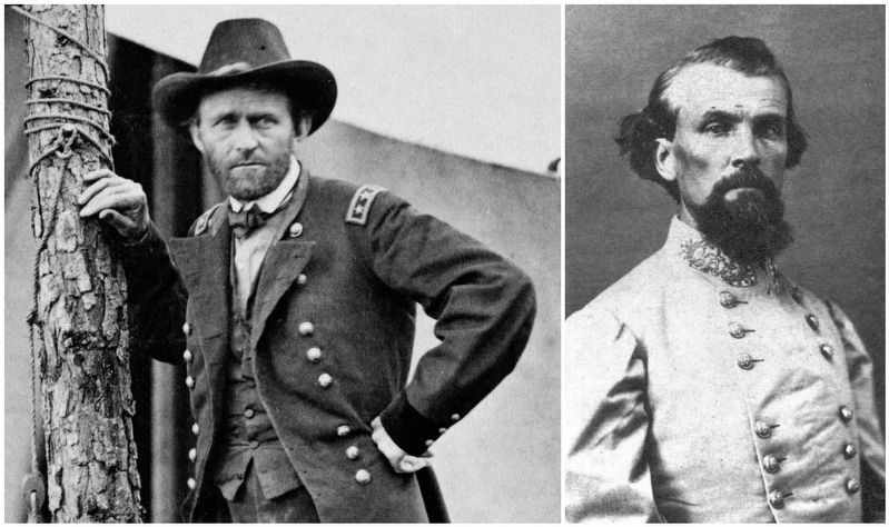
Originally built for use as magnetic observatory. Used as Confederate morgue after Battle of Shiloh in April, 1862. Also used by Gen. U.S. Grant in fall of 1862 and later by forces of Gen. Nathan B. Forrest.
Erected 1954 by the Mississippi Department of Archives and History.
Topics and series. This historical marker is listed in these topic lists: Science & Medicine • War, US Civil. In addition, it is included in the Former U.S. Presidents: #18 Ulysses S. Grant, and the Mississippi State Historical Marker Program series lists. A significant historical month for this entry is April 1862.
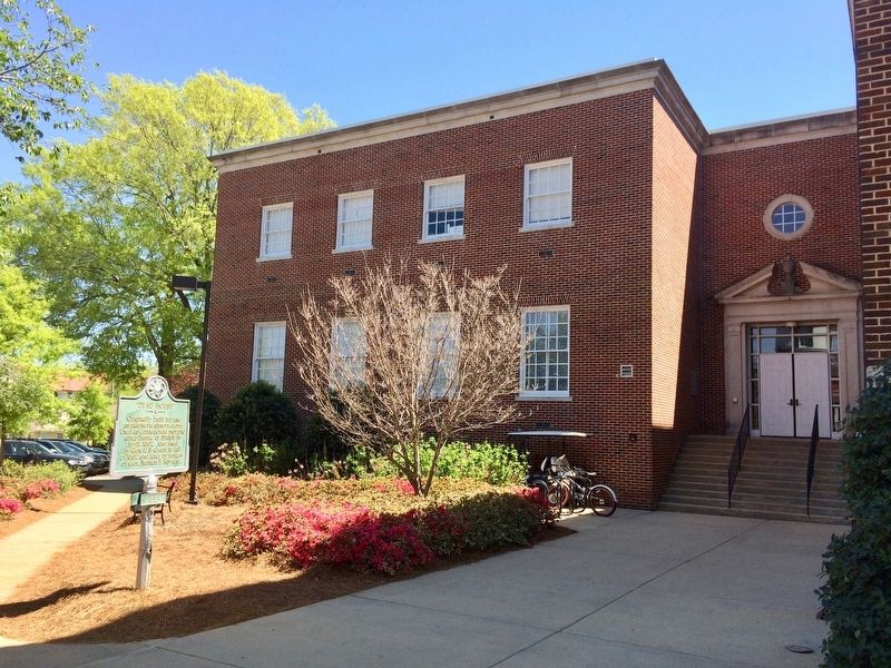
Location. 34° 22.028′ N, 89° 31.957′ W. Marker is in University, Mississippi, in Lafayette County. Marker is on Sorority Row north of Grove Loop, on the right when traveling north. Located to the west of Farley Hall which houses the "Meek School of Journalism and New Media.". Touch for map. Marker is at or near this postal address: Sorority Row, University MS 38677, United States of America. Touch for directions.
Other nearby markers. At least 8 other markers are within walking distance of this marker. Documenting the Blues (within shouting distance of this marker); Society Of Professional Journalists Historic Site in Journalism (within shouting distance of this marker); Barnard Observatory (within shouting distance of this marker); a different marker also named Barnard Observatory (about 300 feet away, measured in a direct line); Lamar Hall (about 500 feet away); The Old Chapel (about 700 feet away); Ventress Hall (about 800 feet away); Lyceum — The Circle Historic District (approx. 0.2 miles away). Touch for a list and map of all markers in University.
More about this marker. The University of Mississippi (Ole Miss) adjoins the City of Oxford.
Regarding "Dead House". It is believed that the bodies in the morgue were carried across campus to the Civil War Cemetery, which contains more than 430 grave shafts.
Credits. This page was last revised on April 13, 2017. It was originally submitted on April 11, 2017, by Mark Hilton of Montgomery, Alabama. This page has been viewed 692 times since then and 58 times this year. Photos: 1, 2, 3. submitted on April 11, 2017, by Mark Hilton of Montgomery, Alabama. 4. submitted on April 13, 2017, by Mark Hilton of Montgomery, Alabama.


