Mandeville in St. Tammany Parish, Louisiana — The American South (West South Central)
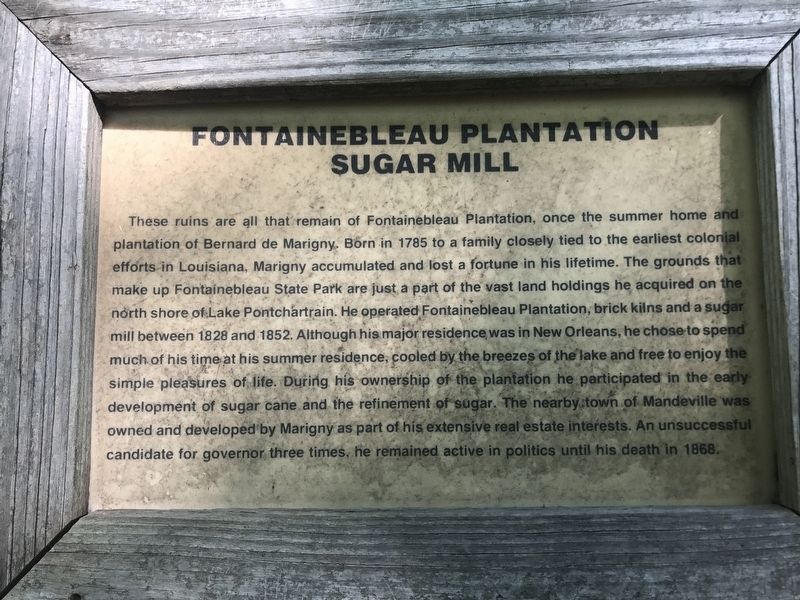
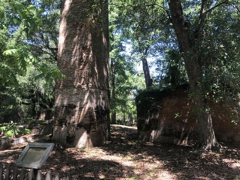
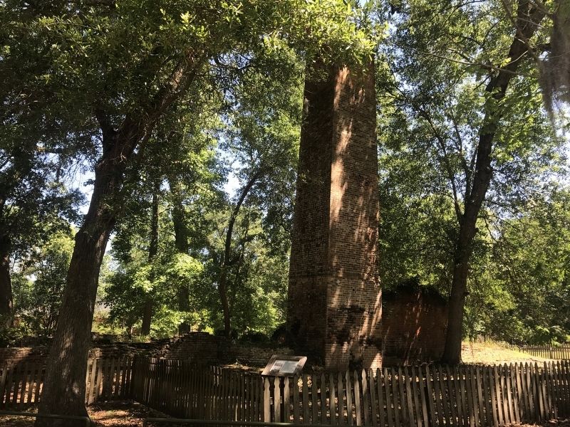
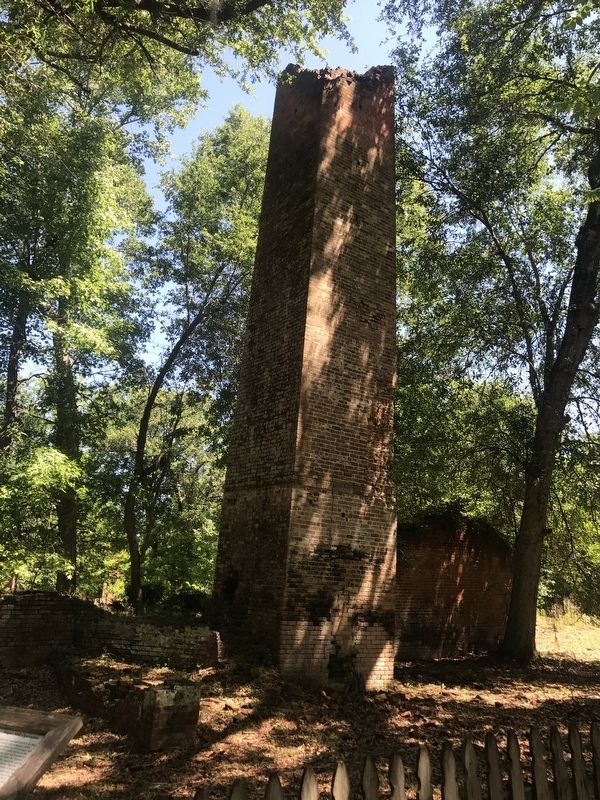
Fontainebleau Plantation Sugar Mill
Topics. This historical marker is listed in these topic lists: Agriculture • Industry & Commerce • Settlements & Settlers.
Location. 30° 20.226′ N, 90° 2.267′ W. Marker is in Mandeville, Louisiana, in St. Tammany Parish . Marker is on Group Camp Road (State Road 1089) one mile south of U.S. 190, on the right when traveling south. Located in the Fountainebleau State Park. Touch for map. Marker is in this post office area: Mandeville LA 70448, United States of America. Touch for directions.
Other nearby markers. At least 8 other markers are within 4 miles of this marker, measured as the crow flies. Sugar Mill Operation (within shouting distance of this marker); The Enslaved (about 600 feet away, measured in a direct line); Native Peoples (approx. 0.3 miles away); Pottery Hill (approx. 1.3 miles away); Battle of Lake Pontchartrain (approx. 1.6 miles away); Our Lady Of The Lake Church (approx. 2.3 miles away); Greater Mandeville Veterans Memorial (approx. 3½ miles away); Lake Pontchartrain Causeway Bridge (approx. 3.9 miles away). Touch for a list and map of all markers in Mandeville.
More about this marker. Located in the Fountainebleau State Park. $3.00 per person admission fee to park in 2017. Plantation ruins are next to the parks museum.
Photographed By Cajun Scrambler, May 6, 2017
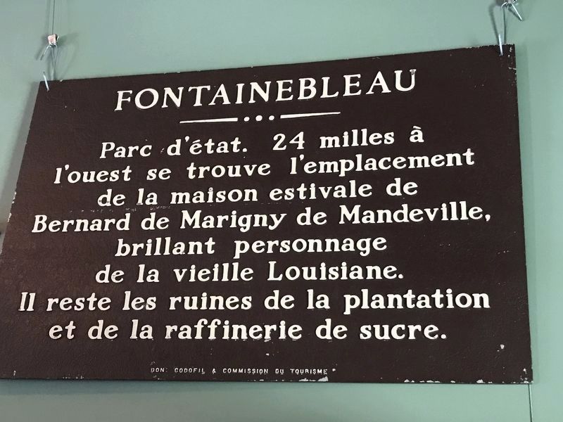
5. Fontainebleau State Marker Located in park museum
Marker was found in a barn that was demolished, cleaned and installed on wall inside park museum.
"Parc d'état. 24 milles à l'ouest se trouve l'emplacement de la maison estivale de Bernard de Marigny de Mandeville, brillant personnage de la vieille Louisiane. Il reste les ruines de la plantation et de la raffinerie de sucre."
English Translation - "State Park, 24 miles west, is the site of the summer plantation home of Bernard de Marigny de Mandeville, colorful and flamboyant figure in early Louisiana history. Sugar mill and plantation ruins remain."
Credits. This page was last revised on December 2, 2022. It was originally submitted on May 6, 2017, by Cajun Scrambler of Assumption, Louisiana. This page has been viewed 1,574 times since then and 155 times this year. Photos: 1, 2, 3, 4. submitted on May 6, 2017. 5. submitted on May 7, 2017, by Cajun Scrambler of Assumption, Louisiana.
