Near Kakabeka Falls in Thunder Bay District, Ontario — Central Canada (North America)
The Kaministikwia Route
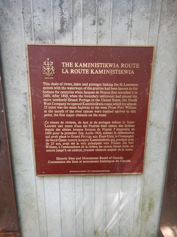
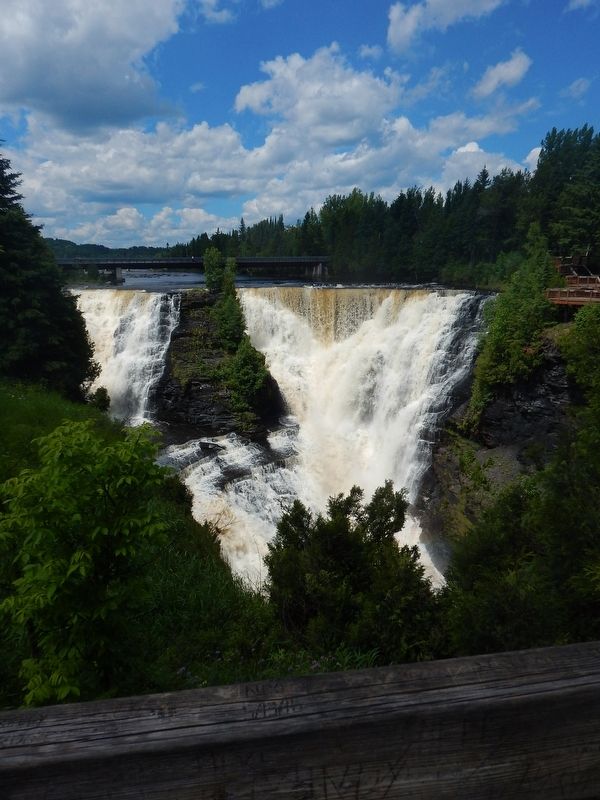
This chain of rivers, lakes and portages linking the St. Lawrence system with the waterways of the prairies had been known to the Indians for centuries when Jacques de Noyon first travelled it in 1688. After 1800, when the boundary settlement had placed the more southerly Grand Portage in the United States, the North West Company re-opened Kaministikwia route, which for almost 25 years was the main highway to the west. From Fort William at the mouth of the river canoes were tracked upriver to this point, the first major obstacle on the route.
Ce réseau de rivières, de lacs et de portages reliant le Saint-Laurent aux cours d'eau des Prairies était connu des Indiens depuis des siècles lorsque Jacques de Noyon l' emprunta en 1688 pour la première fois. Après 1800, suivant la délimitation qui avait placé le Grand Portage aux États-Unis, la Compagnie du Nord-Ouest rouvrit la route Kaministikwia qui, pendant près de 25 ans, avait été la voie principale vers l'Ouest. Du fort William, à l'embouchure de la rivière, les canots furent halés en amont jusqu'à cet endroit, premier obstacle majeur de la route.
Erected by Historic Sites and Monuments Board of Canada.
Topics. This historical marker is listed in these topic lists: Native Americans • Natural Features • Waterways & Vessels. A significant historical year for this entry is 1688.
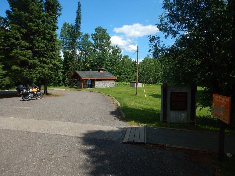
Location. 48° 24.077′ N, 89° 37.517′ W. Marker is near Kakabeka Falls, Ontario, in Thunder Bay District. Marker is located within the boundaries of Kakabeka Falls Provincial Park. Touch for map. Marker is in this post office area: Kakabeka Falls ON P0T 1W0, Canada. Touch for directions.
Other nearby markers. At least 1 other marker is within walking distance of this marker. The Mountain Portage (within shouting distance of this marker).
Credits. This page was last revised on January 24, 2022. It was originally submitted on August 4, 2017, by Kevin Craft of Bedford, Quebec. This page has been viewed 210 times since then and 16 times this year. Photos: 1, 2, 3. submitted on August 4, 2017, by Kevin Craft of Bedford, Quebec.


