Chester in Meigs County, Ohio — The American Midwest (Great Lakes)
Chester
A Fateful Delay
— John Hunt Morgan Heritage Trail —
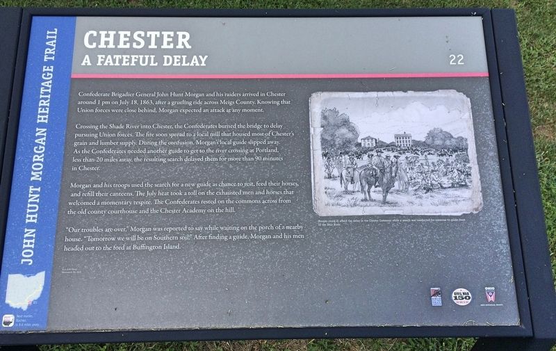
Crossing the Shade River into Chester, the Confederates burned the bridge to delay pursuing Union forces. The fire soon spread to a local mill that housed most of Chester's grain and lumber supply. During the confusion, Morgan's local guide slipped away. As the Confederates needed another guide to get to the river crossing at Portland, less than 20 miles away, the resulting search delayed them for more than 90 minutes in Chester.
Morgan and his troops used the search for a new guide as chance to rest, feed their horses, and refill their canteens. The July heat took a toll on the exhausted men and horses that welcomed a momentary respite. The Confederates rested on the commons across from the old county courthouse and the Chester Academy on the hill.
"Our troubles are over," Morgan was reported to say while waiting on the porch of a nearby house. "Tomorrow we will be on Southern soil." After finding a guide, Morgan and his men headed out to the ford at Buffington Island.
[Photo caption]: Morgan could ill afford the delay in the Chester Commons while a search was conducted for someone to guide them to the Ohio River.
Text: Edd Sharp
Illustration: Bev Kirk
Erected 2013 by the Ohio Department of Transportation, the Ohio History Connection, and the Ohio Civil War Trail Commission. (Marker Number 22.)
Topics and series. This historical marker is listed in these topic lists: Bridges & Viaducts • War, US Civil • Waterways & Vessels. In addition, it is included in the John Hunt Morgan Heritage Trail in Ohio series list. A significant historical date for this entry is July 18, 1863.
Location. 39° 5.27′ N, 81° 55.318′ W. Marker is in Chester, Ohio, in Meigs County. Marker is on Ohio Route 248 east of Sumner Road (County Road 36), on the left when traveling east. Touch for map. Marker is at or near this postal address: 46480 OH-248, Chester OH 45720, United States of America. Touch for directions.
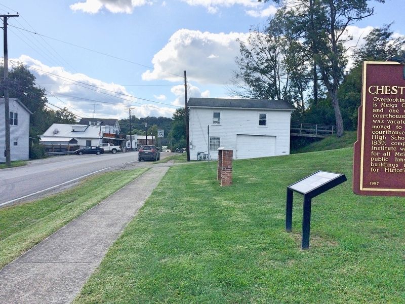
Other nearby markers. At least 8 other markers are within 5 miles of this marker, measured as the crow flies. Morgan's Raid Route / Chester Village Commons (here, next to this marker); Never Forget Garden (a few steps from this marker); Veterans of Foreign Wars Post 9053 Memorial (a few steps from this marker); Chester Courthouse (within shouting distance of this marker); Chester Academy (within shouting distance of this marker); Chester Civil War Memorial (within shouting distance of this marker); Birthplace of Ambrose Bierce (approx. 3.2 miles away); Morgan’s Raid Route (approx. 4.3 miles away). Touch for a list and map of all markers in Chester.

Photographed By Mark Hilton, September 9, 2017
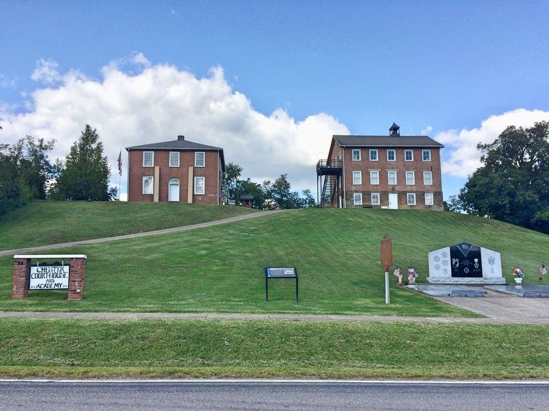
2. Top of the hill: Chester Academy on left and old Meigs County Courthouse on right.
Chester was platted in about 1822 as the original seat of Meigs County. The county seat was moved to Pomeroy in 1841. The Chester Academy was built in 1839 and the courthouse was built in 1823.
Credits. This page was last revised on September 14, 2017. It was originally submitted on September 14, 2017, by Mark Hilton of Montgomery, Alabama. This page has been viewed 423 times since then and 13 times this year. Photos: 1, 2, 3. submitted on September 14, 2017, by Mark Hilton of Montgomery, Alabama.
Editor’s want-list for this marker. Photo of the Chester Commons. • Can you help?

