Near Lincolnton in Lincoln County, Georgia — The American South (South Atlantic)
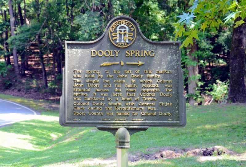
Dooly Spring
>>>>---->
Inscription.
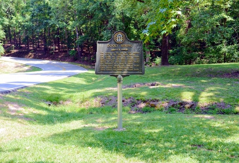
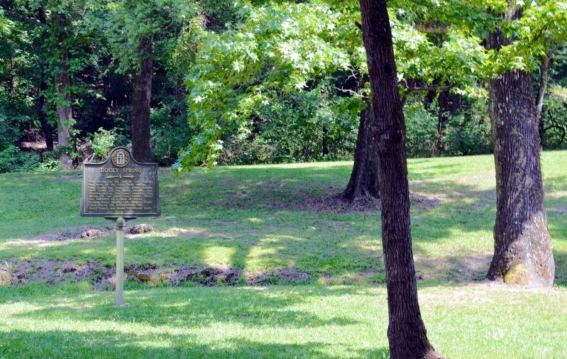
The spring to the left of this marker was used by the John Dooly family.
The simple log cabin, in which Colonel John Dooly and his family resided, was situated across the road opposite the spring. It was here that Colonel Dooly was murdered by a band of Tories.
Colonel Dooly fought with General Elijah Clark during the Revolutionary War.
Dooly County was named for Colonel Dooly.
Erected 1957 by Georgia Historical Commission. (Marker Number 090-4.)
Topics and series. This historical marker is listed in this topic list: War, US Revolutionary. In addition, it is included in the Georgia Historical Society series list.
Location. 33° 51.033′ N, 82° 24.083′ W. Marker is near Lincolnton, Georgia, in Lincoln County. Marker is on Elijah Clark State Park Road, 0.1 miles north of U.S. 378, on the left when traveling north. The marker is located in the Elijah Clark State Park. Touch for map. Marker is in this post office area: Lincolnton GA 30817, United States of America. Touch for directions.
Other nearby markers. At least 8 other markers are within 5 miles of this marker, measured as the crow flies. General Elijah Clark (approx. 0.3 miles away); Tory Pond (approx. 0.8 miles away); Edmunds Family History / Samuel Calhoun Edmunds (approx. 2 miles away in South Carolina); The Guillebeau House (approx. 2.7 miles away in South Carolina); Welcome to Baker Creek State Park (approx. 3.3 miles away in South Carolina); William Bartram Trail (approx. 4˝ miles away); Petersburg Road (approx. 4˝ miles away); New Bordeaux (1764) (approx. 5 miles away in South Carolina). Touch for a list and map of all markers in Lincolnton.
Regarding Dooly Spring. Many of the band of Tories who murdered Colonel Dooly were captured in 1780 and hanged a short distance east of this marker at Tory Pond. Others of the band had escaped but were captured and executed at the Nancy Hart cabin in Elbert County.
Also see . . . Colonel John Dooly. (Submitted on October 1, 2017, by David Seibert of Sandy Springs, Georgia.)
Credits. This page was last revised on October 1, 2017. It was originally submitted on October 1, 2017, by David Seibert of Sandy Springs, Georgia. This page has been viewed 549 times since then and 33 times this year. Photos: 1, 2, 3. submitted on October 1, 2017, by David Seibert of Sandy Springs, Georgia.


